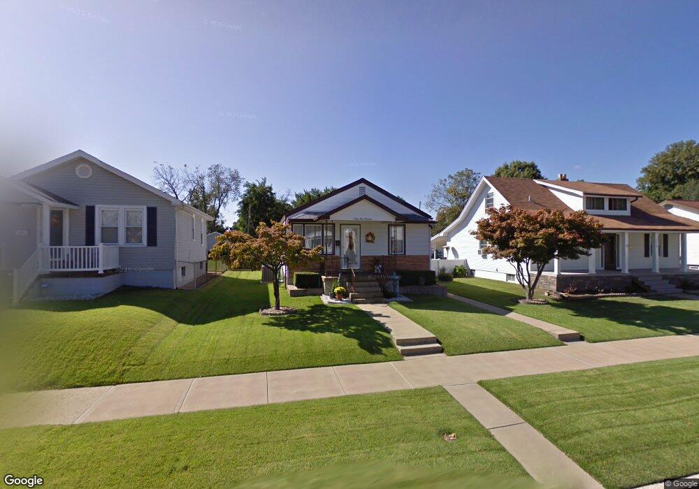
6914 Oleatha Ave Saint Louis, MO 63139
Lindenwood Park NeighborhoodEstimated Value: $172,000 - $291,000
--
Bed
1
Bath
1,968
Sq Ft
$113/Sq Ft
Est. Value
About This Home
This home is located at 6914 Oleatha Ave, Saint Louis, MO 63139 and is currently estimated at $222,014, approximately $112 per square foot. 6914 Oleatha Ave is a home located in St. Louis City with nearby schools including Mason Elementary School, Long International Middle School, and Roosevelt High School.
Ownership History
Date
Name
Owned For
Owner Type
Purchase Details
Closed on
Jun 22, 2022
Sold by
Roger E Santen Revocable Living Trust
Bought by
Legrand Celeste M
Current Estimated Value
Purchase Details
Closed on
Apr 2, 2020
Sold by
Jeanette L Santen Revocable Living Trust
Bought by
Livin Roger E Santen Revocable
Purchase Details
Closed on
Mar 28, 2020
Sold by
Jeanette L Santen Revocable Living Trust
Bought by
Livin Roger E Santen Revocable
Purchase Details
Closed on
Mar 12, 2001
Sold by
Santen Roger E
Bought by
Jeanette L Santen Revocable Living Trust
Create a Home Valuation Report for This Property
The Home Valuation Report is an in-depth analysis detailing your home's value as well as a comparison with similar homes in the area
Home Values in the Area
Average Home Value in this Area
Purchase History
| Date | Buyer | Sale Price | Title Company |
|---|---|---|---|
| Legrand Celeste M | -- | True Title | |
| Livin Roger E Santen Revocable | -- | None Listed On Document | |
| Livin Roger E Santen Revocable | -- | None Listed On Document | |
| Santen Roger E | -- | None Available | |
| Jeanette L Santen Revocable Living Trust | -- | -- |
Source: Public Records
Tax History Compared to Growth
Tax History
| Year | Tax Paid | Tax Assessment Tax Assessment Total Assessment is a certain percentage of the fair market value that is determined by local assessors to be the total taxable value of land and additions on the property. | Land | Improvement |
|---|---|---|---|---|
| 2025 | $3,406 | $47,870 | $2,850 | $45,020 |
| 2024 | $3,240 | $40,360 | $2,850 | $37,510 |
| 2023 | $3,240 | $40,360 | $2,850 | $37,510 |
| 2022 | $3,082 | $36,950 | $2,850 | $34,100 |
| 2021 | $3,078 | $36,950 | $2,850 | $34,100 |
| 2020 | $2,777 | $33,570 | $2,850 | $30,720 |
| 2019 | $2,768 | $33,570 | $2,850 | $30,720 |
| 2018 | $2,407 | $28,250 | $2,620 | $25,630 |
| 2017 | $2,366 | $28,250 | $2,620 | $25,630 |
| 2016 | $2,240 | $26,390 | $2,620 | $23,770 |
| 2015 | $2,031 | $26,390 | $2,620 | $23,770 |
| 2014 | $1,994 | $26,390 | $2,620 | $23,770 |
| 2013 | -- | $25,910 | $2,620 | $23,290 |
Source: Public Records
Map
Nearby Homes
- 6656 Oleatha Ave
- 6659 Tholozan Ave
- 6811 Marquette Ave
- 6631 Pernod Ave
- 7038 Pernod Ave
- 6621 Tholozan Ave
- 6611 Pernod Ave
- 7047 Tholozan Ave
- 3815 Mccausland Ave Unit 4
- 3558 Wabash Ave
- 6953 Arthur Ave
- 6973 Winona Ave
- 6653 Hancock Ave
- 3308 Jamieson Ave
- 6625 Hancock Ave
- 6541 Lindenwood Place
- 7081 Winona Ave
- 6517 Tholozan Ave
- 7081 Bancroft Ave
- 6561 Bancroft Ave
- 6910 Oleatha Ave
- 6918 Oleatha Ave
- 6908 Oleatha Ave
- 6924 Oleatha Ave
- 6928 Oleatha Ave
- 6925 Oleatha Ave
- 6915 Pernod Ave
- 6909 Pernod Ave
- 6934 Oleatha Ave
- 6925 Pernod Ave
- 6923 Pernod Ave
- 6915 Oleatha Ave
- 6919 Oleatha Ave
- 6909 Oleatha Ave
- 6909 Oleatha Ave Unit A & B
- 6929 Pernod Ave
- 6938 Oleatha Ave
- 3542 Jamieson Ave
- 3540 Jamieson Ave
- 3546 Jamieson Ave