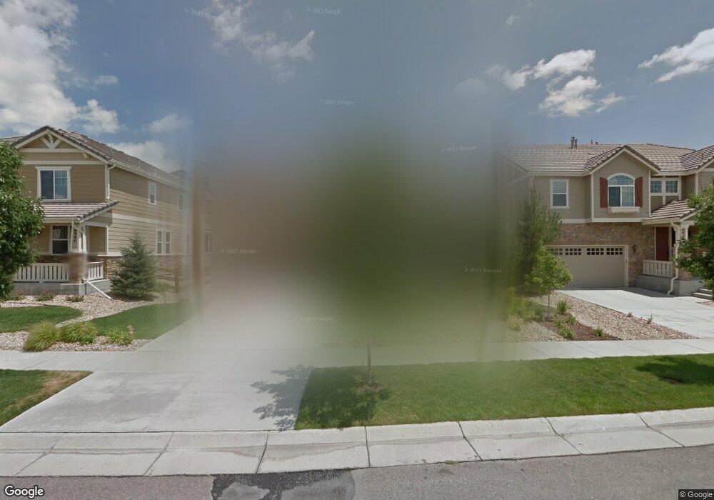
6914 S Buchanan Ct Aurora, CO 80016
Tallyn's Reach NeighborhoodEstimated Value: $710,000 - $761,000
3
Beds
3
Baths
4,470
Sq Ft
$163/Sq Ft
Est. Value
About This Home
This home is located at 6914 S Buchanan Ct, Aurora, CO 80016 and is currently estimated at $727,664, approximately $162 per square foot. 6914 S Buchanan Ct is a home located in Arapahoe County with nearby schools including Coyote Hills Elementary School, Cherokee Trail High School, and Our Lady of Loreto School.
Ownership History
Date
Name
Owned For
Owner Type
Purchase Details
Closed on
Jun 4, 2013
Sold by
Jamison Aaron J and Jamison Amber L
Bought by
Finger Edward Michael and Finger Jennifer
Current Estimated Value
Home Financials for this Owner
Home Financials are based on the most recent Mortgage that was taken out on this home.
Original Mortgage
$349,200
Outstanding Balance
$247,513
Interest Rate
3.41%
Mortgage Type
New Conventional
Estimated Equity
$480,151
Purchase Details
Closed on
Aug 6, 2011
Sold by
Graham David and Graham Roxie
Bought by
Jamison Aaron J and Jamison Amber L
Home Financials for this Owner
Home Financials are based on the most recent Mortgage that was taken out on this home.
Original Mortgage
$295,200
Interest Rate
4.08%
Mortgage Type
New Conventional
Purchase Details
Closed on
May 29, 2009
Sold by
Richmond American Homes Of Colorado Inc
Bought by
Graham David and Graham Roxie
Home Financials for this Owner
Home Financials are based on the most recent Mortgage that was taken out on this home.
Original Mortgage
$374,099
Interest Rate
4.7%
Mortgage Type
FHA
Create a Home Valuation Report for This Property
The Home Valuation Report is an in-depth analysis detailing your home's value as well as a comparison with similar homes in the area
Home Values in the Area
Average Home Value in this Area
Purchase History
| Date | Buyer | Sale Price | Title Company |
|---|---|---|---|
| Finger Edward Michael | $388,000 | Chicago Title Co | |
| Jamison Aaron J | $328,000 | Heritage Title | |
| Graham David | $381,000 | None Available |
Source: Public Records
Mortgage History
| Date | Status | Borrower | Loan Amount |
|---|---|---|---|
| Open | Finger Edward Michael | $349,200 | |
| Previous Owner | Jamison Aaron J | $295,200 | |
| Previous Owner | Graham David | $374,099 |
Source: Public Records
Tax History Compared to Growth
Tax History
| Year | Tax Paid | Tax Assessment Tax Assessment Total Assessment is a certain percentage of the fair market value that is determined by local assessors to be the total taxable value of land and additions on the property. | Land | Improvement |
|---|---|---|---|---|
| 2024 | $4,628 | $43,537 | -- | -- |
| 2023 | $4,628 | $43,537 | $0 | $0 |
| 2022 | $4,395 | $37,266 | $0 | $0 |
| 2021 | $4,403 | $37,266 | $0 | $0 |
| 2020 | $4,430 | $0 | $0 | $0 |
| 2019 | $4,341 | $34,942 | $0 | $0 |
| 2018 | $4,487 | $34,963 | $0 | $0 |
| 2017 | $4,449 | $34,963 | $0 | $0 |
| 2016 | $4,060 | $31,983 | $0 | $0 |
| 2015 | $3,939 | $31,983 | $0 | $0 |
| 2014 | $3,466 | $26,117 | $0 | $0 |
| 2013 | -- | $29,180 | $0 | $0 |
Source: Public Records
Map
Nearby Homes
- 6995 S Buchanan Ct
- 6911 S Algonquian Ct
- 23901 E Easter Place
- 23464 E Ontario Place
- 6842 S Algonquian Ct
- 24277 E Davies Place
- 7036 S Gun Club Ct
- 6648 S Catawba Way
- 6560 S Addison Way
- 6552 S Biloxi Way
- 7370 S Catawba Way
- 6722 S Winnipeg Cir Unit 103
- 24378 E Roxbury Cir
- 24536 E Ottawa Ave
- 24248 E Roxbury Cir
- 7463 S Biloxi Ct
- 24622 E Ontario Dr
- 22843 E Briarwood Place
- 22960 E Roxbury Dr Unit E
- 22960 E Roxbury Dr Unit G
- 6904 S Buchanan Ct
- 6924 S Buchanan Ct
- 6894 S Buchanan Ct
- 6905 S Buchanan Ct
- 6915 S Buchanan Ct
- 6895 S Buchanan Ct
- 6925 S Buchanan Ct
- 6884 S Buchanan Ct
- 6889 S Coolidge Ct
- 6874 S Buchanan Ct
- 6875 S Buchanan Ct
- 6934 S Buchanan Ct
- 6879 S Coolidge Ct
- 6888 S Coolidge Ct
- 6936 S Buchanan Ct
- 6935 S Buchanan Ct
- 6864 S Buchanan Ct
- 6944 S Buchanan Ct
- 6865 S Buchanan Ct
- 6945 S Buchanan Ct