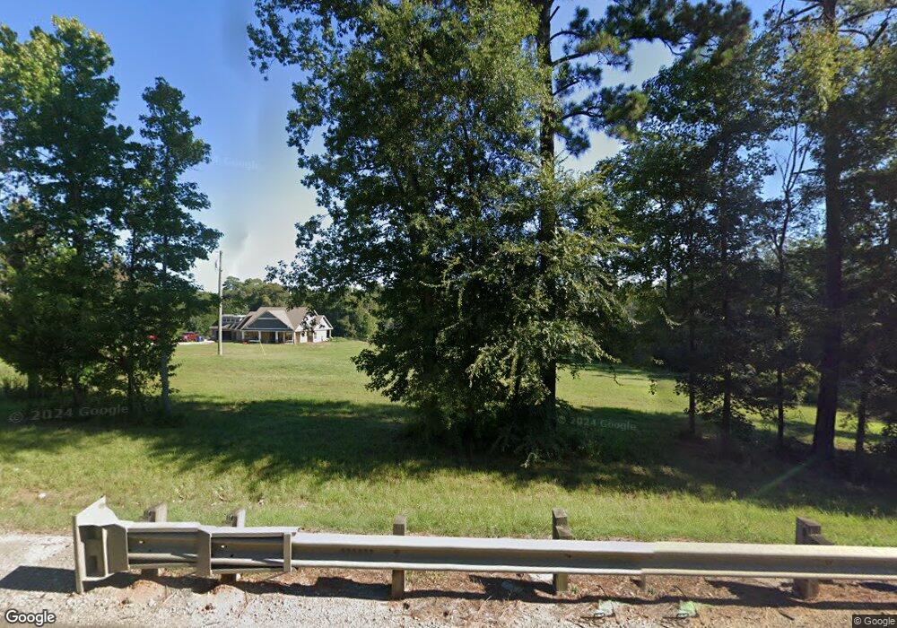
6914 State Highway 103 W Lufkin, TX 75904
Estimated Value: $457,000 - $639,000
--
Bed
2
Baths
2,314
Sq Ft
$226/Sq Ft
Est. Value
About This Home
This home is located at 6914 State Highway 103 W, Lufkin, TX 75904 and is currently estimated at $523,068, approximately $226 per square foot. 6914 State Highway 103 W is a home located in Angelina County with nearby schools including Central Elementary School, Central Junior High School, and Central High School.
Ownership History
Date
Name
Owned For
Owner Type
Purchase Details
Closed on
Jun 5, 2019
Sold by
Sivanandam Chandra J S and Sivanandam Chandrasekar Jeevaratham
Bought by
Bodie Hannah Charles Wayne and Bodie Hannah Donna
Current Estimated Value
Home Financials for this Owner
Home Financials are based on the most recent Mortgage that was taken out on this home.
Original Mortgage
$432,000
Outstanding Balance
$284,185
Interest Rate
4.2%
Mortgage Type
New Conventional
Estimated Equity
$238,883
Create a Home Valuation Report for This Property
The Home Valuation Report is an in-depth analysis detailing your home's value as well as a comparison with similar homes in the area
Home Values in the Area
Average Home Value in this Area
Purchase History
| Date | Buyer | Sale Price | Title Company |
|---|---|---|---|
| Bodie Hannah Charles Wayne | -- | Security & Guaranty Abstract |
Source: Public Records
Mortgage History
| Date | Status | Borrower | Loan Amount |
|---|---|---|---|
| Open | Bodie Hannah Charles Wayne | $432,000 |
Source: Public Records
Tax History Compared to Growth
Tax History
| Year | Tax Paid | Tax Assessment Tax Assessment Total Assessment is a certain percentage of the fair market value that is determined by local assessors to be the total taxable value of land and additions on the property. | Land | Improvement |
|---|---|---|---|---|
| 2025 | $4,925 | $327,120 | $21,080 | $306,040 |
| 2024 | $4,871 | $323,560 | $21,010 | $302,550 |
| 2023 | $4,826 | $322,870 | $21,490 | $301,380 |
| 2022 | $4,987 | $293,450 | $19,780 | $273,670 |
| 2021 | $5,458 | $299,000 | $20,400 | $278,600 |
| 2020 | $4,737 | $255,350 | $16,070 | $239,280 |
| 2019 | $4,984 | $255,860 | $15,380 | $240,480 |
| 2018 | $4,429 | $253,130 | $15,570 | $237,560 |
| 2017 | $4,429 | $241,710 | $15,920 | $225,790 |
| 2016 | $4,683 | $237,580 | $15,850 | $221,730 |
| 2015 | $4,177 | $237,990 | $16,260 | $221,730 |
| 2014 | $4,177 | $235,110 | $16,080 | $219,030 |
Source: Public Records
Map
Nearby Homes
- 321 Gordon Way
- Derek RD None
- 176 Lancewood Cir
- 151 Lancewood Cir
- 5740 Hwy 103e
- Lot 1A Welch Hill Top Rd
- Lot 1D Welch Hill Top Rd
- 0 Ben Dunn Rd
- PID 29607 Ben Dunn Rd
- PID 29607 Ben Dunn Rd
- 10155 Fm 2021
- PID 36982 Ben Dunn Rd
- 339 Liles Ln
- PID 36982 Hwy 103w
- 1159 Blackburn Switch Rd
- TBD James Oates Rd
- Lot 2 Bethlehem Rd
- 260 Falcon Ave
- 6979 Highway 103 W
- 6979 State Highway 103 W
- 6768 Hwy 103 W
- 6768 Hwy 103w
- 292 Mccarty Rd
- 6912 Highway 103 W
- 7142 State Highway 103 W
- 7142 Highway 103 W
- 474 Mccarty Rd
- 510 Mccarty Rd
- 548 Mccarty Rd
- 376 Mccarty Rd
- 440 Mccarty Rd
- 624 Mccarty Rd
- 473 Mccarty Rd
- 272 Mccarty Rd
- 539 Mccarty Rd
- 128 Mccarty Rd
- 128 Mccarty Rd
- 385 Stover Ranch Rd