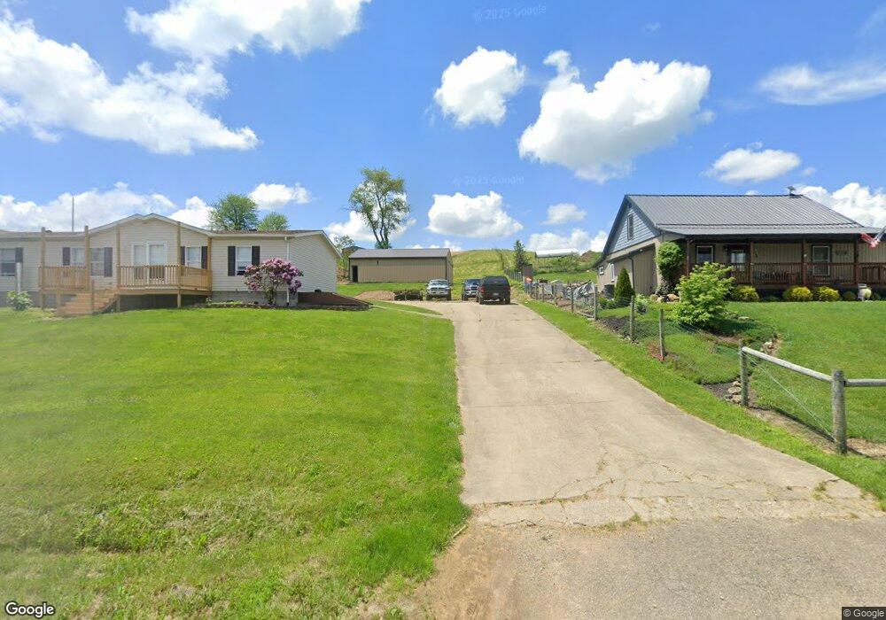
69141 Boden Rd New Concord, OH 43762
Estimated Value: $183,000 - $337,000
3
Beds
3
Baths
2,048
Sq Ft
$124/Sq Ft
Est. Value
About This Home
This home is located at 69141 Boden Rd, New Concord, OH 43762 and is currently estimated at $253,521, approximately $123 per square foot. 69141 Boden Rd is a home located in Guernsey County with nearby schools including Ridgewood Elementary School, Ridgewood Middle School, and Ridgewood High School.
Ownership History
Date
Name
Owned For
Owner Type
Purchase Details
Closed on
Apr 9, 2021
Sold by
Hardy Ian David and Hardy Danielle Renee
Bought by
Hardy Ian David
Current Estimated Value
Purchase Details
Closed on
Apr 13, 2011
Sold by
Gadd William P and Gadd Danielle R
Bought by
Raymond James Trust Na and Kaden Walker Robinson Settlement Preserv
Purchase Details
Closed on
Feb 18, 2006
Sold by
Summerfield Bonnie A
Bought by
Gadd William P and Gadd Danielle R
Home Financials for this Owner
Home Financials are based on the most recent Mortgage that was taken out on this home.
Original Mortgage
$58,500
Interest Rate
6.2%
Mortgage Type
New Conventional
Create a Home Valuation Report for This Property
The Home Valuation Report is an in-depth analysis detailing your home's value as well as a comparison with similar homes in the area
Home Values in the Area
Average Home Value in this Area
Purchase History
| Date | Buyer | Sale Price | Title Company |
|---|---|---|---|
| Hardy Ian David | -- | None Available | |
| Raymond James Trust Na | $90,000 | -- | |
| Gadd William P | $65,000 | -- |
Source: Public Records
Mortgage History
| Date | Status | Borrower | Loan Amount |
|---|---|---|---|
| Previous Owner | Gadd William P | $58,500 |
Source: Public Records
Tax History Compared to Growth
Tax History
| Year | Tax Paid | Tax Assessment Tax Assessment Total Assessment is a certain percentage of the fair market value that is determined by local assessors to be the total taxable value of land and additions on the property. | Land | Improvement |
|---|---|---|---|---|
| 2024 | $2,709 | $68,999 | $17,731 | $51,268 |
| 2023 | $2,709 | $56,556 | $14,532 | $42,024 |
| 2022 | $2,237 | $56,560 | $14,530 | $42,030 |
| 2021 | $2,173 | $56,560 | $14,530 | $42,030 |
| 2020 | $1,912 | $52,150 | $12,380 | $39,770 |
| 2019 | $1,942 | $52,150 | $12,380 | $39,770 |
| 2018 | $1,812 | $52,150 | $12,380 | $39,770 |
| 2017 | $1,647 | $45,230 | $10,770 | $34,460 |
| 2016 | $1,702 | $45,230 | $10,770 | $34,460 |
| 2015 | $1,702 | $45,230 | $10,770 | $34,460 |
| 2014 | -- | $41,410 | $8,170 | $33,240 |
| 2013 | $772 | $41,410 | $8,170 | $33,240 |
Source: Public Records
Map
Nearby Homes
- 2250 Indian Camp Run Rd
- 68477 Geese Rd
- 67655 Geese Rd
- 0 Geese Rd
- 3688 Indian Camp Run Rd
- 64895 Lovers Lane Rd
- 5580 Friendship Dr
- 6753 Simmons Rd
- 0 Haught Rd Unit LOTWP001 24504411
- 0 Haught Rd
- 16386 Township Road 118
- 16286 Ohio 93
- 5628 Bloomfield Rd
- 14240 Cr 410 Lot# 58
- 16842 Township Road 118
- 6825 Barr Rd
- 0 Norfield Unit 5124761
- 0 Norfield Unit 5113681
- 17418 Tr 118
- 67706 Oldham Rd