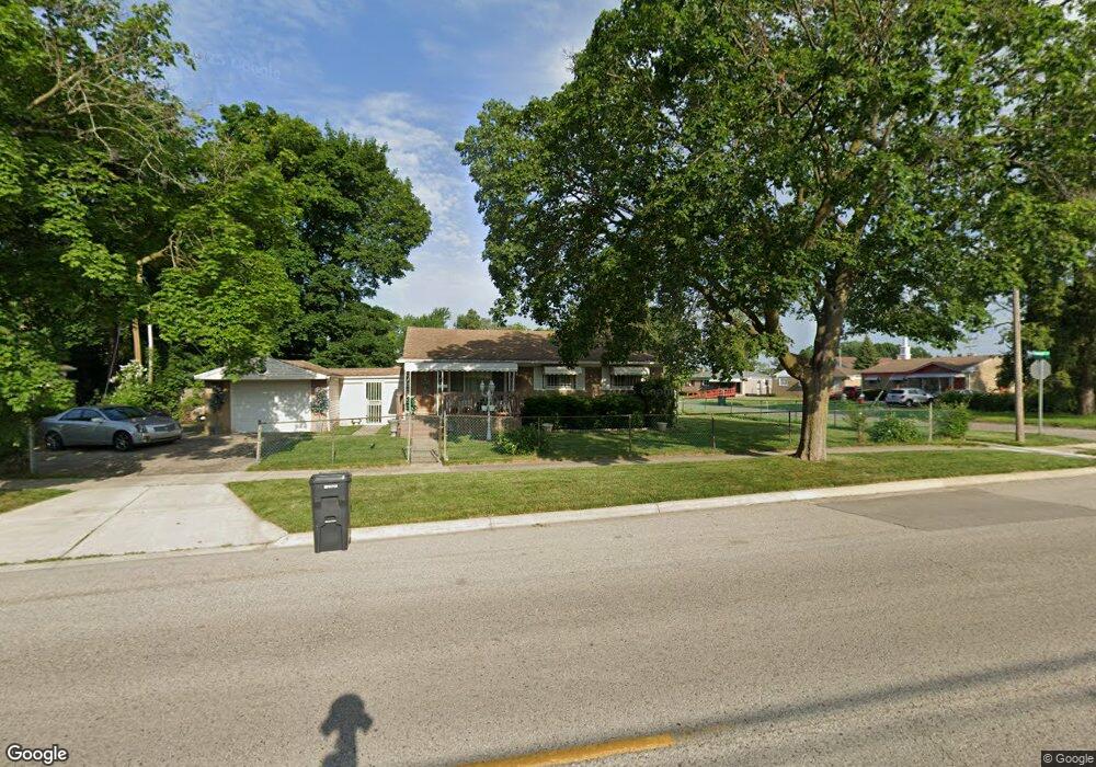
6915 Dupont St Flint, MI 48505
Brownell NeighborhoodEstimated Value: $38,000 - $70,000
3
Beds
2
Baths
1,012
Sq Ft
$52/Sq Ft
Est. Value
About This Home
This home is located at 6915 Dupont St, Flint, MI 48505 and is currently estimated at $52,217, approximately $51 per square foot. 6915 Dupont St is a home located in Genesee County with nearby schools including Brownell STEM Academy, The New Standard Academy, and Eagle's Nest Academy.
Ownership History
Date
Name
Owned For
Owner Type
Purchase Details
Closed on
Dec 18, 2003
Sold by
Hud
Bought by
Newson Pamela
Current Estimated Value
Home Financials for this Owner
Home Financials are based on the most recent Mortgage that was taken out on this home.
Original Mortgage
$26,600
Interest Rate
5.96%
Mortgage Type
Purchase Money Mortgage
Purchase Details
Closed on
Nov 29, 2001
Sold by
Standard Federal Bank
Bought by
Hud
Purchase Details
Closed on
Nov 28, 2001
Sold by
Clark Henry and Clark Tawana A
Bought by
Standard Federal Bank
Create a Home Valuation Report for This Property
The Home Valuation Report is an in-depth analysis detailing your home's value as well as a comparison with similar homes in the area
Home Values in the Area
Average Home Value in this Area
Purchase History
| Date | Buyer | Sale Price | Title Company |
|---|---|---|---|
| Newson Pamela | $28,000 | Lawyers Title | |
| Hud | -- | Cislo | |
| Standard Federal Bank | $61,085 | -- |
Source: Public Records
Mortgage History
| Date | Status | Borrower | Loan Amount |
|---|---|---|---|
| Previous Owner | Newson Pamela | $26,600 |
Source: Public Records
Tax History Compared to Growth
Tax History
| Year | Tax Paid | Tax Assessment Tax Assessment Total Assessment is a certain percentage of the fair market value that is determined by local assessors to be the total taxable value of land and additions on the property. | Land | Improvement |
|---|---|---|---|---|
| 2025 | $787 | $17,200 | $0 | $0 |
| 2024 | $720 | $13,100 | $0 | $0 |
| 2023 | $712 | $11,300 | $0 | $0 |
| 2022 | $0 | $8,800 | $0 | $0 |
| 2021 | $767 | $9,200 | $0 | $0 |
| 2020 | $765 | $10,500 | $0 | $0 |
| 2019 | $793 | $11,300 | $0 | $0 |
| 2018 | $846 | $12,100 | $0 | $0 |
| 2017 | $824 | $0 | $0 | $0 |
| 2016 | $867 | $0 | $0 | $0 |
| 2015 | -- | $0 | $0 | $0 |
| 2014 | -- | $0 | $0 | $0 |
| 2012 | -- | $17,600 | $0 | $0 |
Source: Public Records
Map
Nearby Homes
- 6702 Cranwood Dr
- 6610 Cranwood Dr
- 614 W Holbrook Ave
- 617 W Holbrook Ave
- 525 W Bundy Ave
- 6914 Daryll Dr
- 613 W Foss Ave
- 605 W Foss Ave
- 1015 W Carpenter Rd
- 6902 Sally Ct
- 405 W Bundy Ave
- 1499 W Juliah Ave
- 618 W Austin Ave
- 6814 Colonial Dr
- 610 W Austin Ave
- 505 W Ruth Ave
- 405 W Lorado Ave
- 536 W Home Ave
- 402 W Gracelawn Ave
- 5714 Suburban Ct
- 707 W Bundy Ave
- 711 W Bundy Ave
- 6911 Dupont St
- 715 W Bundy Ave
- 7001 Dupont St
- 708 W Bundy Ave
- 641 W Bundy Ave
- 646 W York Ave
- 6905 Dupont St
- 712 W Bundy Ave
- 642 W Bundy Ave
- 719 W Bundy Ave
- 716 W Bundy Ave
- 642 W York Ave
- 637 W Bundy Ave
- 7006 Dupont St
- 6819 Dupont St
- 6818 Cranwood Dr
- 720 W Bundy Ave
- 6901 Dupont St