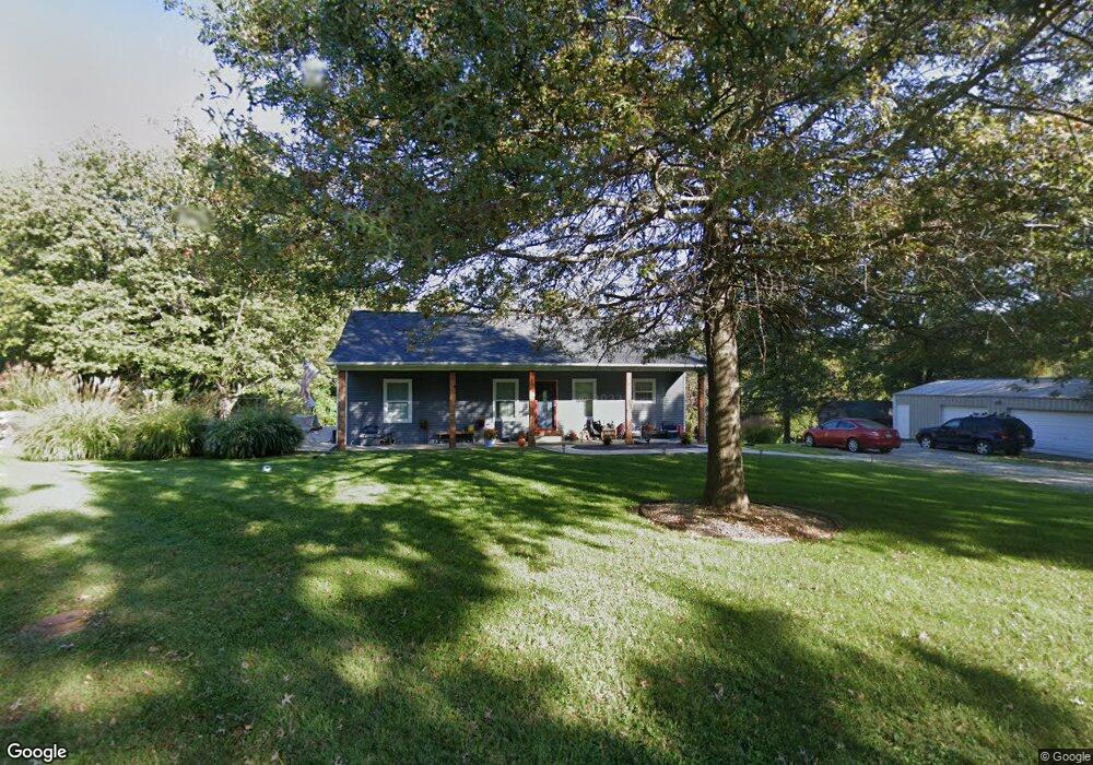
6915 Loyet Rd Collinsville, IL 62234
Estimated Value: $303,000 - $365,000
3
Beds
3
Baths
1,400
Sq Ft
$238/Sq Ft
Est. Value
About This Home
This home is located at 6915 Loyet Rd, Collinsville, IL 62234 and is currently estimated at $332,766, approximately $237 per square foot. 6915 Loyet Rd is a home located in Madison County with nearby schools including John A Renfro Elementary School, Dorris Intermediate School, and Collinsville Middle School.
Ownership History
Date
Name
Owned For
Owner Type
Purchase Details
Closed on
Jun 2, 2016
Sold by
Milster Ian Matthew
Bought by
Milster Ian Matthew and Sullivan Cara
Current Estimated Value
Home Financials for this Owner
Home Financials are based on the most recent Mortgage that was taken out on this home.
Original Mortgage
$128,000
Outstanding Balance
$60,790
Interest Rate
3.61%
Mortgage Type
Construction
Estimated Equity
$271,976
Purchase Details
Closed on
Oct 21, 2015
Sold by
Frick Michael R and Frick Lori Anne
Bought by
Milster Ian Matthew
Create a Home Valuation Report for This Property
The Home Valuation Report is an in-depth analysis detailing your home's value as well as a comparison with similar homes in the area
Home Values in the Area
Average Home Value in this Area
Purchase History
| Date | Buyer | Sale Price | Title Company |
|---|---|---|---|
| Milster Ian Matthew | -- | Attorney | |
| Milster Ian Matthew | $16,500 | Abstracts & Titles Inc |
Source: Public Records
Mortgage History
| Date | Status | Borrower | Loan Amount |
|---|---|---|---|
| Open | Milster Ian Matthew | $128,000 |
Source: Public Records
Tax History Compared to Growth
Tax History
| Year | Tax Paid | Tax Assessment Tax Assessment Total Assessment is a certain percentage of the fair market value that is determined by local assessors to be the total taxable value of land and additions on the property. | Land | Improvement |
|---|---|---|---|---|
| 2024 | $5,288 | $91,710 | $23,000 | $68,710 |
| 2023 | $5,288 | $84,890 | $21,290 | $63,600 |
| 2022 | $5,028 | $75,890 | $19,050 | $56,840 |
| 2021 | $4,352 | $71,300 | $17,900 | $53,400 |
| 2020 | $4,201 | $68,030 | $17,080 | $50,950 |
| 2019 | $4,092 | $65,710 | $16,500 | $49,210 |
| 2018 | $3,870 | $60,300 | $12,880 | $47,420 |
| 2017 | $3,879 | $59,100 | $12,620 | $46,480 |
| 2016 | $1,144 | $14,800 | $12,620 | $2,180 |
| 2015 | $5,729 | $14,410 | $12,290 | $2,120 |
| 2014 | $5,729 | $83,310 | $12,290 | $71,020 |
| 2013 | $5,729 | $83,310 | $12,290 | $71,020 |
Source: Public Records
Map
Nearby Homes
- 2033 Mapleleaf Dr
- 7 Keiths Ct
- 130 Hilltop Place
- 7302 W Kirsch Rd
- 226 Woodridge Ct
- 189 Meyer Dr
- 131 E Country Ln
- 112 Crestmoor St
- 1322 Leland St
- 1301 Gladys St
- 300 Pine Lake Rd Unit 6
- 300 Pine Lake Rd Unit 7
- 1229 Gladys St
- 1815 Robins Mill Ct
- 1819 Robin Mills Ct
- 1002 California Ave
- 1826 Robin Mills Ct
- 1831 Crimson Oak Dr
- 201 S Lange Ave
- 1830 Robin Mills Ct