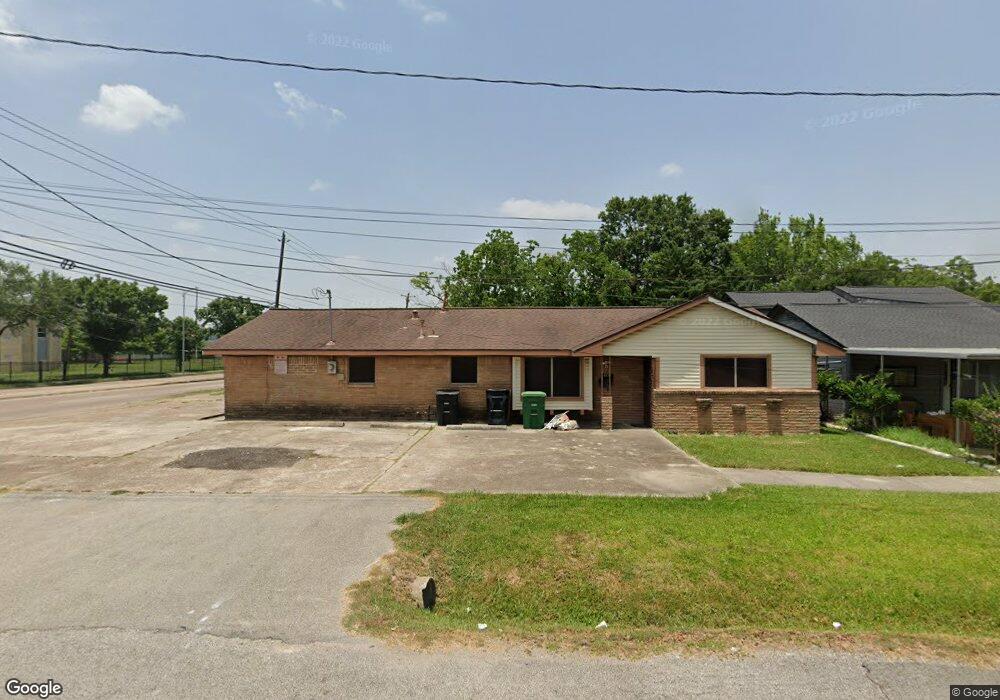
6915 Scott St Unit 1 Houston, TX 77021
OST-South Union NeighborhoodEstimated Value: $179,056 - $242,000
3
Beds
2
Baths
1,603
Sq Ft
$139/Sq Ft
Est. Value
About This Home
This home is located at 6915 Scott St Unit 1, Houston, TX 77021 and is currently estimated at $223,014, approximately $139 per square foot. 6915 Scott St Unit 1 is a home located in Harris County with nearby schools including Marcellus Elliot Foster Elementary, Cullen Middle School, and Yates High School.
Ownership History
Date
Name
Owned For
Owner Type
Purchase Details
Closed on
May 31, 2001
Sold by
Craven Mortiz V
Bought by
Fleming Tammy L
Current Estimated Value
Home Financials for this Owner
Home Financials are based on the most recent Mortgage that was taken out on this home.
Original Mortgage
$47,500
Outstanding Balance
$18,041
Interest Rate
7.1%
Estimated Equity
$204,973
Create a Home Valuation Report for This Property
The Home Valuation Report is an in-depth analysis detailing your home's value as well as a comparison with similar homes in the area
Home Values in the Area
Average Home Value in this Area
Purchase History
| Date | Buyer | Sale Price | Title Company |
|---|---|---|---|
| Fleming Tammy L | -- | Chicago Title |
Source: Public Records
Mortgage History
| Date | Status | Borrower | Loan Amount |
|---|---|---|---|
| Open | Fleming Tammy L | $47,500 | |
| Closed | Fleming Tammy L | $5,000 |
Source: Public Records
Tax History Compared to Growth
Tax History
| Year | Tax Paid | Tax Assessment Tax Assessment Total Assessment is a certain percentage of the fair market value that is determined by local assessors to be the total taxable value of land and additions on the property. | Land | Improvement |
|---|---|---|---|---|
| 2025 | $3,022 | $137,000 | $105,560 | $31,440 |
| 2024 | $3,022 | $144,433 | $105,560 | $38,873 |
| 2023 | $3,022 | $156,083 | $95,004 | $61,079 |
| 2022 | $3,064 | $139,175 | $73,892 | $65,283 |
| 2021 | $2,645 | $113,486 | $47,502 | $65,984 |
| 2020 | $1,878 | $77,557 | $31,668 | $45,889 |
| 2019 | $1,829 | $72,279 | $26,390 | $45,889 |
| 2018 | $1,450 | $57,295 | $18,473 | $38,822 |
| 2017 | $1,195 | $47,262 | $13,195 | $34,067 |
| 2016 | $1,195 | $47,262 | $13,195 | $34,067 |
| 2015 | $960 | $41,851 | $13,195 | $28,656 |
| 2014 | $960 | $37,326 | $13,195 | $24,131 |
Source: Public Records
Map
Nearby Homes
- 7012 Saint Augustine St
- 7014 Saint Augustine St
- 3827 Amos St
- 3810 Lehall St
- 7005 Saint Augustine St Unit A/B
- 3824 Amos St
- 7004 Conley St
- 7016 Conley St
- 7108 Saint Augustine St
- 3617 Dreyfus St
- 4405 Ward St
- 4510 Ward St
- 4508 Ward St
- 4616 Ward St
- 3730 Lehall St
- 6725 Saint Augustine St
- 7109 Saint Augustine St
- 4110 Ward St
- 6719 Saint Augustine St
- 6721 Saint Augustine St
- 6915 Scott St
- 3911 Alice St
- 3911 Alice St Unit B
- 3911 Alice St Unit A
- 3915 Alice St
- 3904 Idaho St
- 3906 Alice St
- 3906 Idaho St
- 3910 Alice St
- 3914 Alice St
- 3907 Southlawn St
- 3921 Alice St
- 3918 Alice St
- 3911 Southlawn St
- 3916 Idaho St
- 3915 Southlawn St
- 6838 Driftwood St
- 3922 Alice St
- 3920 Idaho St
- 3919 Southlawn St