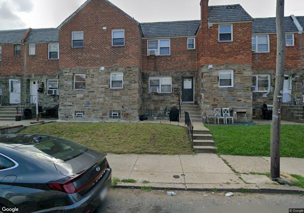
6915 Sylvester St Philadelphia, PA 19149
Castor Gardens NeighborhoodEstimated Value: $276,000 - $438,978
4
Beds
--
Bath
1,716
Sq Ft
$201/Sq Ft
Est. Value
About This Home
This home is located at 6915 Sylvester St, Philadelphia, PA 19149 and is currently estimated at $344,993, approximately $201 per square foot. 6915 Sylvester St is a home located in Philadelphia County with nearby schools including Solomon Solis-Cohen School, Castor Gardens Middle School, and Northeast High School.
Ownership History
Date
Name
Owned For
Owner Type
Purchase Details
Closed on
Apr 28, 2006
Sold by
Goodman Charles
Bought by
Li Dan Gui and Li Zhi Ren
Current Estimated Value
Home Financials for this Owner
Home Financials are based on the most recent Mortgage that was taken out on this home.
Original Mortgage
$151,500
Outstanding Balance
$87,742
Interest Rate
6.4%
Mortgage Type
Commercial
Estimated Equity
$257,251
Create a Home Valuation Report for This Property
The Home Valuation Report is an in-depth analysis detailing your home's value as well as a comparison with similar homes in the area
Home Values in the Area
Average Home Value in this Area
Purchase History
| Date | Buyer | Sale Price | Title Company |
|---|---|---|---|
| Li Dan Gui | $202,000 | United General Title Ins Co |
Source: Public Records
Mortgage History
| Date | Status | Borrower | Loan Amount |
|---|---|---|---|
| Open | Li Dan Gui | $151,500 |
Source: Public Records
Tax History Compared to Growth
Tax History
| Year | Tax Paid | Tax Assessment Tax Assessment Total Assessment is a certain percentage of the fair market value that is determined by local assessors to be the total taxable value of land and additions on the property. | Land | Improvement |
|---|---|---|---|---|
| 2025 | $3,077 | $323,900 | $64,780 | $259,120 |
| 2024 | $3,077 | $323,900 | $64,780 | $259,120 |
| 2023 | $3,077 | $219,800 | $43,960 | $175,840 |
| 2022 | $2,562 | $219,800 | $43,960 | $175,840 |
| 2021 | $2,562 | $0 | $0 | $0 |
| 2020 | $2,562 | $0 | $0 | $0 |
| 2019 | $2,458 | $0 | $0 | $0 |
| 2018 | $2,377 | $0 | $0 | $0 |
| 2017 | $2,377 | $0 | $0 | $0 |
| 2016 | $2,377 | $0 | $0 | $0 |
| 2015 | $2,275 | $0 | $0 | $0 |
| 2014 | -- | $169,800 | $23,505 | $146,295 |
| 2012 | -- | $19,616 | $1,014 | $18,602 |
Source: Public Records
Map
Nearby Homes
- 6900 Eastwood St
- 2011 Longshore Ave
- 6826 Sylvester St
- 7028 Horrocks St
- 6946 Kindred St
- 6829 Horrocks St
- 7034 Souder St
- 7039 Kindred St
- 6834 Large St
- 2110 Longshore Ave
- 6827 Lynford St
- 2119 Glenview St
- 6725 Eastwood St
- 7123 Souder St
- 7019 Rutland St
- 7050 Lynford St
- 7035 Rutland St
- 6739 Lynford St
- 2140 Princeton Ave
- 7153 Saul St
- 6913 Sylvester St
- 6917 Sylvester St
- 6911 Sylvester St
- 6919 Sylvester St
- 6909 Sylvester St
- 6921 Sylvester St
- 6914 Oakland St
- 6916 Oakland St
- 6912 Oakland St
- 6910 Oakland St
- 6918 Oakland St
- 6907 Sylvester St
- 6923 Sylvester St
- 6908 Oakland St
- 6920 Oakland St
- 6905 Sylvester St
- 6925 Sylvester St
- 6906 Oakland St
- 6914 Sylvester St
- 6922 Oakland St