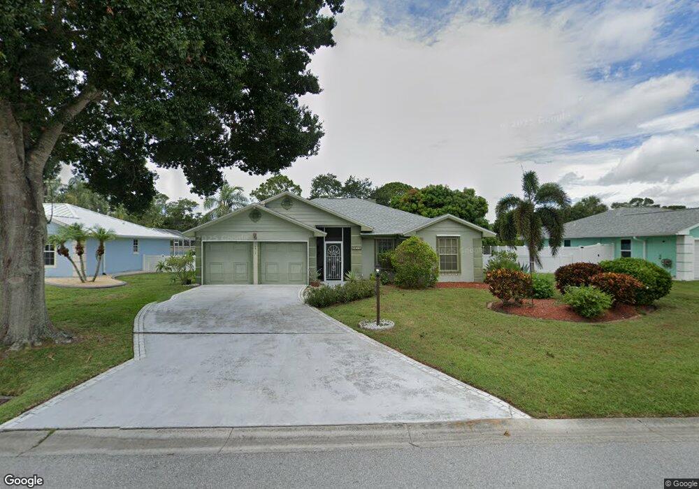
6916 Bronte Cir Port Saint Lucie, FL 34952
River Park NeighborhoodEstimated Value: $345,749 - $423,000
3
Beds
2
Baths
1,570
Sq Ft
$253/Sq Ft
Est. Value
About This Home
This home is located at 6916 Bronte Cir, Port Saint Lucie, FL 34952 and is currently estimated at $396,687, approximately $252 per square foot. 6916 Bronte Cir is a home located in St. Lucie County with nearby schools including Northport K-8 School, Floresta Elementary School, and Parkway Elementary School.
Ownership History
Date
Name
Owned For
Owner Type
Purchase Details
Closed on
Dec 10, 2012
Sold by
Lindsay Mark W and Arpin David M
Bought by
Arpin David M
Current Estimated Value
Purchase Details
Closed on
May 4, 2001
Sold by
Simpson Louis H and Simpson Maud
Bought by
Lindsay Mark W and Arpin David M
Home Financials for this Owner
Home Financials are based on the most recent Mortgage that was taken out on this home.
Original Mortgage
$79,010
Interest Rate
7.11%
Create a Home Valuation Report for This Property
The Home Valuation Report is an in-depth analysis detailing your home's value as well as a comparison with similar homes in the area
Home Values in the Area
Average Home Value in this Area
Purchase History
| Date | Buyer | Sale Price | Title Company |
|---|---|---|---|
| Arpin David M | -- | None Available | |
| Lindsay Mark W | $114,000 | -- |
Source: Public Records
Mortgage History
| Date | Status | Borrower | Loan Amount |
|---|---|---|---|
| Previous Owner | Lindsay Mark W | $79,010 |
Source: Public Records
Tax History Compared to Growth
Tax History
| Year | Tax Paid | Tax Assessment Tax Assessment Total Assessment is a certain percentage of the fair market value that is determined by local assessors to be the total taxable value of land and additions on the property. | Land | Improvement |
|---|---|---|---|---|
| 2024 | $1,740 | $113,754 | -- | -- |
| 2023 | $1,740 | $110,441 | $0 | $0 |
| 2022 | $1,584 | $107,225 | $0 | $0 |
| 2021 | $1,569 | $104,102 | $0 | $0 |
| 2020 | $1,556 | $102,665 | $0 | $0 |
| 2019 | $1,526 | $100,357 | $0 | $0 |
| 2018 | $1,406 | $98,486 | $0 | $0 |
| 2017 | $1,383 | $141,900 | $28,000 | $113,900 |
| 2016 | $1,343 | $114,800 | $28,000 | $86,800 |
| 2015 | $1,360 | $108,400 | $28,000 | $80,400 |
| 2014 | $1,328 | $93,076 | $0 | $0 |
Source: Public Records
Map
Nearby Homes
- 6807 Shelley Terrace
- 6816 Frost Terrace
- 7305 Elyse Cir
- Tbd NE Diane Dr
- 6876 Bronte Cir
- 6823 Wadsworth Terrace
- 7100 Lorraine Ct
- 506 NE Oleander Ave
- 6711 Dickinson Terrace
- 108 NE Carlisle Ln
- 505 Coconut Ave E
- 422 Coconut Ave E
- 409 NE Oleander Ave
- 390 NE Genesee Ave
- 382 NE Genesee Ave
- 329 Holly Ave
- 532 NE Canoe Park Cir
- 283 NE Sagamore Terrace
- 548 NE Canoe Park Cir
- 300 Riomar Dr
- 6912 Bronte Cir
- 6915 Bronte Cir
- 6815 Shelley Terrace
- 6908 Bronte Cir
- 6911 Bronte Cir
- 6816 Shelley Terrace
- 6907 Bronte Cir
- 6811 Shelley Terrace
- 6904 Bronte Cir
- 901 Diane Dr
- 6823 Bronte Cir
- 6827 Bronte Cir
- 6812 Shelley Terrace
- 6903 Bronte Cir
- 6815 Frost Terrace
- 6831 Bronte Cir
- 6900 Bronte Cir
- 6811 Frost Terrace
- 903 Diane Dr
- 6808 Shelley Terrace