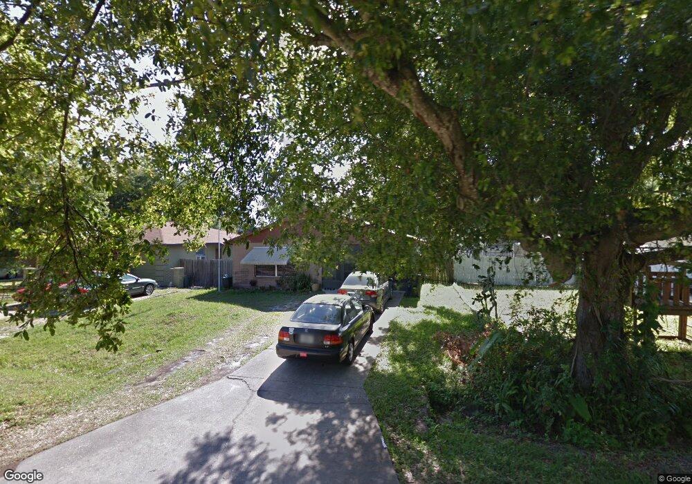
6916 S Trask St Tampa, FL 33616
Port Tampa City NeighborhoodEstimated Value: $359,000 - $429,000
3
Beds
2
Baths
1,257
Sq Ft
$316/Sq Ft
Est. Value
About This Home
This home is located at 6916 S Trask St, Tampa, FL 33616 and is currently estimated at $397,800, approximately $316 per square foot. 6916 S Trask St is a home located in Hillsborough County with nearby schools including Westshore Elementary School, Monroe Middle School, and Robinson High School.
Ownership History
Date
Name
Owned For
Owner Type
Purchase Details
Closed on
Apr 1, 2008
Sold by
Mauller Patricia Ernestine
Bought by
Mauller Patricia Ernestine
Current Estimated Value
Purchase Details
Closed on
Sep 3, 1999
Sold by
Mauller Howard M and Mauller E
Bought by
Mauller Howard M and Mauller Patricia E
Purchase Details
Closed on
Dec 28, 1994
Sold by
Carter James Michael and Carter Linda Susan
Bought by
Mauller Howard M
Create a Home Valuation Report for This Property
The Home Valuation Report is an in-depth analysis detailing your home's value as well as a comparison with similar homes in the area
Home Values in the Area
Average Home Value in this Area
Purchase History
| Date | Buyer | Sale Price | Title Company |
|---|---|---|---|
| Mauller Patricia Ernestine | -- | Attorney | |
| Mauller Howard M | $27,500 | -- | |
| Mauller Howard M | $60,200 | -- |
Source: Public Records
Tax History Compared to Growth
Tax History
| Year | Tax Paid | Tax Assessment Tax Assessment Total Assessment is a certain percentage of the fair market value that is determined by local assessors to be the total taxable value of land and additions on the property. | Land | Improvement |
|---|---|---|---|---|
| 2024 | $4,638 | $283,930 | $121,250 | $162,680 |
| 2023 | $4,282 | $261,549 | $103,062 | $158,487 |
| 2022 | $4,146 | $276,466 | $97,000 | $179,466 |
| 2021 | $3,706 | $221,264 | $84,875 | $136,389 |
| 2020 | $3,310 | $185,354 | $75,781 | $109,573 |
| 2019 | $3,052 | $170,113 | $63,656 | $106,457 |
| 2018 | $2,825 | $154,531 | $0 | $0 |
| 2017 | $2,525 | $128,861 | $0 | $0 |
| 2016 | $2,304 | $100,332 | $0 | $0 |
| 2015 | $2,018 | $91,211 | $0 | $0 |
| 2014 | $1,894 | $82,919 | $0 | $0 |
| 2013 | -- | $75,381 | $0 | $0 |
Source: Public Records
Map
Nearby Homes
- 8101 Interbay Blvd Unit C
- 4418 W Prescott St
- 6816 S Hesperides St
- 6811 S Hesperides St
- 6907 S Sparkman St
- 6963 S Manhattan Ave
- 6812 S Cortez St
- 8407 Interbay Blvd
- 7009 S Sparkman St
- 7106 S Sparkman St
- 6808 S Elemeta St
- 4432 W Mccoy St
- 6905 S Sparkman St
- 6909 S Sparkman St
- 7201 S De Soto St
- 7013 S West Shore Blvd
- 7308 S Trask St
- 7307 S Trask St
- 7310 S Shamrock Rd
- 7717 Landcare Ln
- 6914 S Trask St
- 6914 S St
- 4603 W Chisholm St
- 6912 S Trask St
- 6913 S Wall St
- 6911 S Wall St
- 6910 S Trask St
- 6913 S Trask St
- 6911 S Trask St
- 6915 S Trask St
- 6904 S Trask St
- 6909 S Trask St
- 4606 W Chisholm St
- 4608 W Chisholm St
- 6907 S Trask St
- 8106 Interbay Blvd
- 6905 S Wall St
- 4604 W Chisholm St
- 6905 S Trask St
- 4602 W Chisholm St