6918 Calhoun Rd Conneaut, OH 44030
Estimated Value: $168,988 - $214,000
1
Bed
1
Bath
672
Sq Ft
$290/Sq Ft
Est. Value
About This Home
This home is located at 6918 Calhoun Rd, Conneaut, OH 44030 and is currently estimated at $194,663, approximately $289 per square foot. 6918 Calhoun Rd is a home located in Ashtabula County with nearby schools including Lakeshore Primary Elementary School, Gateway Elementary School, and Conneaut Middle School.
Ownership History
Date
Name
Owned For
Owner Type
Purchase Details
Closed on
Mar 3, 2005
Sold by
Bruner Land Co Inc
Bought by
Ruffo Larry A and Ruffo Candace R
Current Estimated Value
Home Financials for this Owner
Home Financials are based on the most recent Mortgage that was taken out on this home.
Original Mortgage
$30,175
Interest Rate
5.71%
Mortgage Type
Unknown
Create a Home Valuation Report for This Property
The Home Valuation Report is an in-depth analysis detailing your home's value as well as a comparison with similar homes in the area
Home Values in the Area
Average Home Value in this Area
Purchase History
| Date | Buyer | Sale Price | Title Company |
|---|---|---|---|
| Ruffo Larry A | -- | Chicago Title |
Source: Public Records
Mortgage History
| Date | Status | Borrower | Loan Amount |
|---|---|---|---|
| Closed | Ruffo Larry A | $30,175 |
Source: Public Records
Tax History Compared to Growth
Tax History
| Year | Tax Paid | Tax Assessment Tax Assessment Total Assessment is a certain percentage of the fair market value that is determined by local assessors to be the total taxable value of land and additions on the property. | Land | Improvement |
|---|---|---|---|---|
| 2024 | $2,891 | $42,110 | $23,140 | $18,970 |
| 2023 | $1,822 | $42,110 | $23,140 | $18,970 |
| 2022 | $1,539 | $31,370 | $17,820 | $13,550 |
| 2021 | $1,579 | $31,370 | $17,820 | $13,550 |
| 2020 | $1,578 | $31,370 | $17,820 | $13,550 |
| 2019 | $1,553 | $30,100 | $17,080 | $13,020 |
| 2018 | $750 | $30,100 | $17,080 | $13,020 |
| 2017 | $748 | $30,100 | $17,080 | $13,020 |
| 2016 | $1,237 | $26,920 | $14,980 | $11,940 |
| 2015 | $1,235 | $26,920 | $14,980 | $11,940 |
| 2014 | $1,192 | $26,920 | $14,980 | $11,940 |
| 2013 | $1,191 | $26,250 | $11,830 | $14,420 |
Source: Public Records
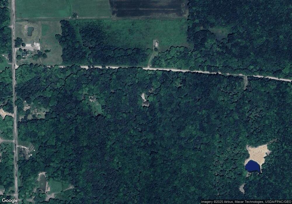
Map
Nearby Homes
- 4361 Middle Rd
- 6421 Weaver Rd
- 6232 Weaver Rd
- 5051 Center Rd
- 5958 Weaver Rd
- 9455 State Line Rd
- Tracy Rd
- 0 Root Rd
- 3037 Philadelphia Rd
- 5024 Hilldom Rd
- 0 Middle Rd
- 5581 Hatches Corners Rd
- 2342 & 2412 Artman Rd
- VL State Route 7
- 0 Griffey Rd
- 5011 Beckwith Rd
- 2608 Stanhope Kelloggsville Rd
- 529 Furnace Rd
- 5264 Middle Rd
- 0 Center Rd
- 6860 Calhoun Rd
- 4148 Middle Rd
- 4104 Middle Rd
- 4200 Middle Rd
- 4111 Middle Rd
- 4294 Middle Rd
- 4167 Middle Rd
- 4050 Middle Rd
- 4040 Middle Rd
- 0 Calhoun Rd Unit 2449510
- 0 Calhoun Rd Unit 3258928
- 0 Calhoun Rd Unit 5022950
- 3990 Middle Rd
- 4051 Middle Rd
- 4215 Middle Rd
- 4402 Middle Rd
- 4245 Middle Rd
- 4325 Middle Rd
- 7141 Calhoun Rd
- 4305 Middle Rd