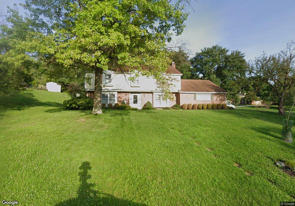
6918 Saint Laurent Cir Dayton, OH 45459
Woodbourne-Hyde Park NeighborhoodEstimated Value: $421,000 - $535,000
4
Beds
3
Baths
2,868
Sq Ft
$159/Sq Ft
Est. Value
About This Home
This home is located at 6918 Saint Laurent Cir, Dayton, OH 45459 and is currently estimated at $456,154, approximately $159 per square foot. 6918 Saint Laurent Cir is a home located in Montgomery County with nearby schools including Primary Village North, Normandy Elementary School, and Hadley E Watts Middle School.
Ownership History
Date
Name
Owned For
Owner Type
Purchase Details
Closed on
Aug 10, 2000
Sold by
Anderson Timothy M and Anderson Jill S
Bought by
Fisher Drew R and Fisher Naomi
Current Estimated Value
Home Financials for this Owner
Home Financials are based on the most recent Mortgage that was taken out on this home.
Original Mortgage
$139,500
Outstanding Balance
$50,724
Interest Rate
8.26%
Mortgage Type
Purchase Money Mortgage
Estimated Equity
$405,430
Purchase Details
Closed on
Sep 12, 1998
Sold by
Dressel Daniel J and Dressel Kimberly S
Bought by
Anderson Timothy M and Anderson Jill S
Purchase Details
Closed on
Mar 25, 1996
Sold by
Porter Larry J and Porter Arleen H
Bought by
Dressel Daniel J and Dressel Kimberly S
Create a Home Valuation Report for This Property
The Home Valuation Report is an in-depth analysis detailing your home's value as well as a comparison with similar homes in the area
Home Values in the Area
Average Home Value in this Area
Purchase History
| Date | Buyer | Sale Price | Title Company |
|---|---|---|---|
| Fisher Drew R | $199,500 | -- | |
| Anderson Timothy M | $193,000 | -- | |
| Anderson Timothy M | $193,000 | -- | |
| Dressel Daniel J | -- | -- |
Source: Public Records
Mortgage History
| Date | Status | Borrower | Loan Amount |
|---|---|---|---|
| Open | Fisher Drew R | $139,500 |
Source: Public Records
Tax History Compared to Growth
Tax History
| Year | Tax Paid | Tax Assessment Tax Assessment Total Assessment is a certain percentage of the fair market value that is determined by local assessors to be the total taxable value of land and additions on the property. | Land | Improvement |
|---|---|---|---|---|
| 2024 | $7,194 | $116,770 | $20,950 | $95,820 |
| 2023 | $7,194 | $116,770 | $20,950 | $95,820 |
| 2022 | $6,837 | $87,800 | $15,750 | $72,050 |
| 2021 | $6,856 | $87,800 | $15,750 | $72,050 |
| 2020 | $6,846 | $87,800 | $15,750 | $72,050 |
| 2019 | $7,217 | $82,720 | $15,750 | $66,970 |
| 2018 | $6,445 | $82,720 | $15,750 | $66,970 |
| 2017 | $6,376 | $82,720 | $15,750 | $66,970 |
| 2016 | $5,995 | $73,290 | $15,750 | $57,540 |
| 2015 | $5,898 | $73,290 | $15,750 | $57,540 |
| 2014 | $5,898 | $73,290 | $15,750 | $57,540 |
| 2012 | -- | $76,000 | $17,500 | $58,500 |
Source: Public Records
Map
Nearby Homes
- 7006 Cedar Pines Ct
- 6935 Paragon Rd
- 6561 Fieldson Rd
- 312 Trebor Ln
- 427 Meadowview Dr
- 901 Olde Sterling Way
- 950 Olde Sterling Way
- 1208 Hidden Oaks Dr
- 1221 Wood Mill Trail
- 7767 Brams Hill Dr Unit 7767
- 7687 Normandy Ln
- 36 Blackstone Dr
- 6013 Gothic Place
- 9211 Bottega - South Dr Unit 67
- 7853 Betsy Ross Cir Unit 11
- 1241 Agate Trail
- 59 Wythe Parish St Unit 4
- 119 Blackstone Dr
- 85 Poinciana Dr
- 271 Maple Ave
- 529 Grants Trail
- 6919 Saint Laurent Cir
- 536 Grants Trail
- 7019 Cherbourg Place
- 6907 Saint Laurent Cir
- 530 Grants Trail
- 7013 Cherbourg Place
- 600 Grants Trail
- 6890 Saint Laurent Cir
- 524 Grants Trail
- 613 Grants Trail
- 6883 Saint Laurent Cir
- 7007 Cherbourg Place
- 614 Grants Trail
- 528 Manorside Dr
- 518 Grants Trail
- 513 Grants Trail
- 514 Manorside Dr
- 621 Grants Trail
- 6855 Saint Laurent Cir