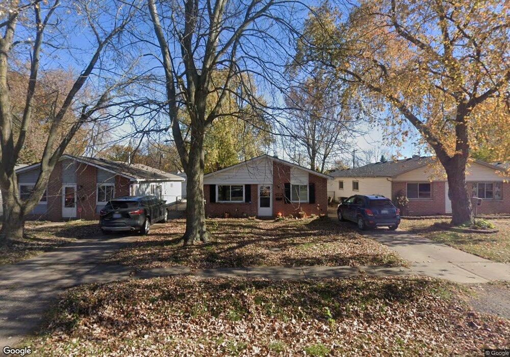
6919 Janet St Taylor, MI 48180
Estimated Value: $150,798 - $165,000
3
Beds
1
Bath
949
Sq Ft
$167/Sq Ft
Est. Value
About This Home
This home is located at 6919 Janet St, Taylor, MI 48180 and is currently estimated at $158,200, approximately $166 per square foot. 6919 Janet St is a home located in Wayne County with nearby schools including Clarence Randall Elementary School, Hoover Middle School, and Taylor High School.
Ownership History
Date
Name
Owned For
Owner Type
Purchase Details
Closed on
Jul 19, 2010
Sold by
Donovan Shaun and Secretary Of Housing & Urban D
Bought by
Cross Cheryl
Current Estimated Value
Purchase Details
Closed on
May 3, 2010
Sold by
Bac Home Loans Servicing Lp
Bought by
The Secretary Of Housing & Urban Develop
Purchase Details
Closed on
Oct 8, 2009
Sold by
Benson Jeremy M and Peters Shari L
Bought by
Bac Home Loans Servicing Lp
Purchase Details
Closed on
Jan 31, 2000
Sold by
Anna K Lilley
Bought by
Jeremy M Benson
Create a Home Valuation Report for This Property
The Home Valuation Report is an in-depth analysis detailing your home's value as well as a comparison with similar homes in the area
Home Values in the Area
Average Home Value in this Area
Purchase History
| Date | Buyer | Sale Price | Title Company |
|---|---|---|---|
| Cross Cheryl | $17,000 | None Available | |
| The Secretary Of Housing & Urban Develop | -- | None Available | |
| Bac Home Loans Servicing Lp | $87,886 | None Available | |
| Jeremy M Benson | $79,500 | -- |
Source: Public Records
Tax History
| Year | Tax Paid | Tax Assessment Tax Assessment Total Assessment is a certain percentage of the fair market value that is determined by local assessors to be the total taxable value of land and additions on the property. | Land | Improvement |
|---|---|---|---|---|
| 2025 | $1,489 | $68,000 | $0 | $0 |
| 2024 | $1,442 | $62,500 | $0 | $0 |
| 2023 | $2,082 | $47,500 | $0 | $0 |
| 2022 | $1,376 | $40,500 | $0 | $0 |
| 2021 | $2,025 | $39,200 | $0 | $0 |
| 2020 | $2,040 | $36,400 | $0 | $0 |
| 2019 | $211,784 | $35,700 | $0 | $0 |
| 2018 | $1,182 | $29,600 | $0 | $0 |
| 2017 | $2,379 | $30,100 | $0 | $0 |
| 2016 | $2,258 | $29,300 | $0 | $0 |
| 2015 | $2,670 | $26,700 | $0 | $0 |
| 2013 | $2,750 | $28,600 | $0 | $0 |
| 2012 | $1,233 | $27,800 | $6,800 | $21,000 |
Source: Public Records
Map
Nearby Homes
- 6810 Oldham St
- 6713 Mcguire St
- 26009 1st St Unit RA005
- 26008 3rd St Unit RA086
- 26010 3rd St Unit RA087
- 7536 Wilkie St
- 26019 2nd St Unit RA070
- 7550 Wilkie St
- 26016 5th St Unit RA196
- 26018 5th St Unit 197
- 26019 3rd St
- 26020 5th St Unit RA198
- 25255 Charles St
- 26017 4th St Unit RA175
- 26103 3rd St Unit RA125
- 26111 1st St Unit RA020
- 26118 2nd St Unit RA053
- 26118 4th St Unit RA159
- 26012 Gary St Unit RV061
- 26107 5th St Unit RA237
Your Personal Tour Guide
Ask me questions while you tour the home.