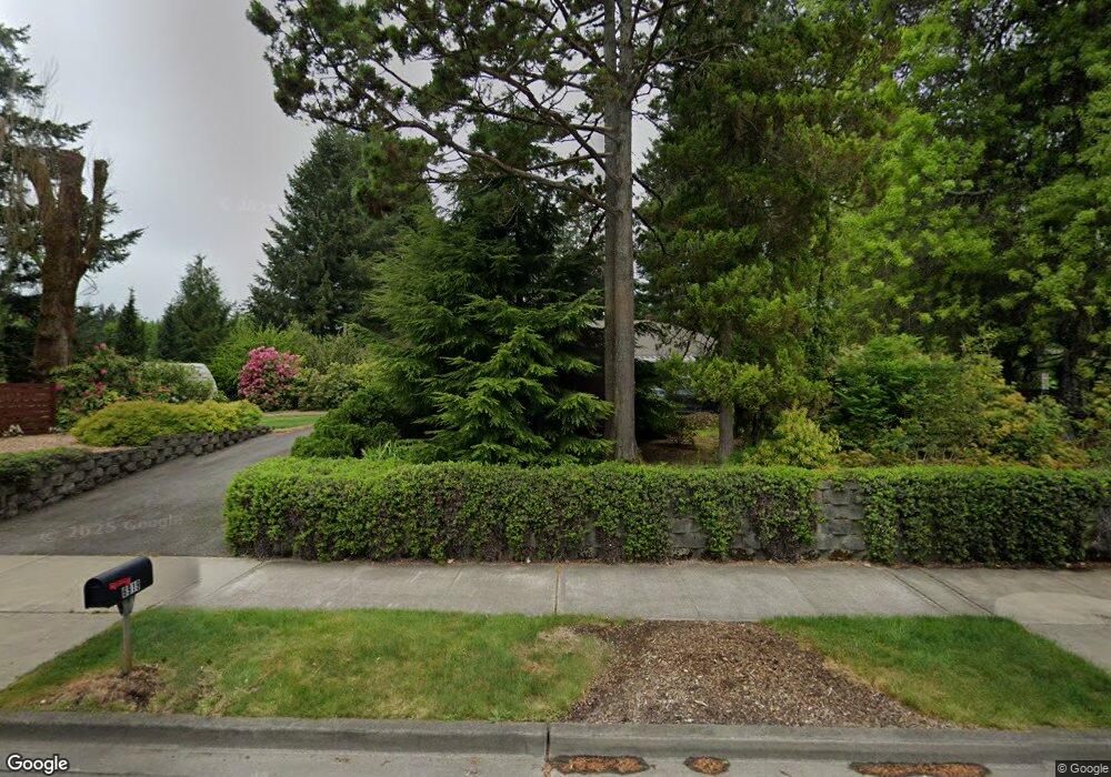
6919 Littlerock Rd SW Tumwater, WA 98512
Littlerock NeighborhoodEstimated Value: $509,000 - $559,000
3
Beds
2
Baths
1,520
Sq Ft
$352/Sq Ft
Est. Value
About This Home
This home is located at 6919 Littlerock Rd SW, Tumwater, WA 98512 and is currently estimated at $535,697, approximately $352 per square foot. 6919 Littlerock Rd SW is a home located in Thurston County with nearby schools including Michael T. Simmons Elementary School, Tumwater Middle School, and A.G. West Black Hills High School.
Ownership History
Date
Name
Owned For
Owner Type
Purchase Details
Closed on
Feb 6, 2007
Sold by
Larsen Stephen Robert
Bought by
Larsen Glenda Elise
Current Estimated Value
Purchase Details
Closed on
Nov 21, 2006
Sold by
Arlow James Stephen and Arlow Glenda Elise
Bought by
City Of Tumwater
Purchase Details
Closed on
Jan 22, 2006
Sold by
Larsen Glenda Elise and Arlow Glenda Elise
Bought by
Arlow James Stephen and Arlow Glenda Elise
Create a Home Valuation Report for This Property
The Home Valuation Report is an in-depth analysis detailing your home's value as well as a comparison with similar homes in the area
Home Values in the Area
Average Home Value in this Area
Purchase History
| Date | Buyer | Sale Price | Title Company |
|---|---|---|---|
| Larsen Glenda Elise | -- | Pioneer Title Company | |
| City Of Tumwater | -- | Thurston County Title | |
| Arlow James Stephen | -- | Pioneer Title Company |
Source: Public Records
Tax History Compared to Growth
Tax History
| Year | Tax Paid | Tax Assessment Tax Assessment Total Assessment is a certain percentage of the fair market value that is determined by local assessors to be the total taxable value of land and additions on the property. | Land | Improvement |
|---|---|---|---|---|
| 2024 | $4,858 | $479,600 | $185,100 | $294,500 |
| 2023 | $4,858 | $485,300 | $169,900 | $315,400 |
| 2022 | $4,185 | $411,400 | $128,600 | $282,800 |
| 2021 | $3,764 | $355,500 | $132,500 | $223,000 |
| 2020 | $3,106 | $293,200 | $95,500 | $197,700 |
| 2019 | $2,880 | $234,500 | $69,400 | $165,100 |
| 2018 | $2,697 | $208,800 | $60,500 | $148,300 |
| 2017 | $2,552 | $194,300 | $60,900 | $133,400 |
| 2016 | $2,421 | $190,750 | $68,750 | $122,000 |
| 2014 | -- | $177,550 | $65,250 | $112,300 |
Source: Public Records
Map
Nearby Homes
- 6940 Littlerock Rd SW
- 6707 Miner Dr SW
- 2411 Tumwater Blvd SW
- 2535 70th Ave SW Unit 18
- 2437 73rd Ave SW
- 7022 Lazy Ct SW
- 6401 Brycen Ln SW Unit B
- 2893 74th Ave SW Unit Lot104
- 7340 Prine Dr SW
- 2828 71st Way SW
- 2873 74th Ave SW Unit Lot106
- 7303 Mirasett St SW Unit Lot 30
- 7309 Mirasett St SW Unit Lot 31
- 7302 Jenner St SW Unit Lot 64
- 3021 70th Way SW
- 3019 Shalom Ct SW
- 5630 Mimi St SW Unit Lot 10
- 2880 75th Ave SW Unit Lot 62
- 7049 Rothenberg Dr SW
- 5654 Mimi St SW Unit Lot 4
- 6945 Littlerock Rd SW
- 6945 Littlerock Rd SW Unit 3
- 2307 Miner Ct SW
- 6831 Miner Dr SW
- 6827 Miner Dr SW
- 2306 Miner Ct SW
- 6910 Littlerock Rd SW
- 2305 Miner Ct SW
- 6821 Littlerock Rd SW
- 6818 Miner Dr SW
- 2304 Miner Ct SW
- 6842 Littlerock Rd SW
- 6981 Littlerock Rd SW
- 0 XXX W Israel Rd
- 1850 W Israel Rd
- 2303 Miner Ct SW
- 6820 Littlerock Rd SW
- 6805 Littlerock Rd SW
- 2302 Miner Ct SW
- 6995 Littlerock Rd SW