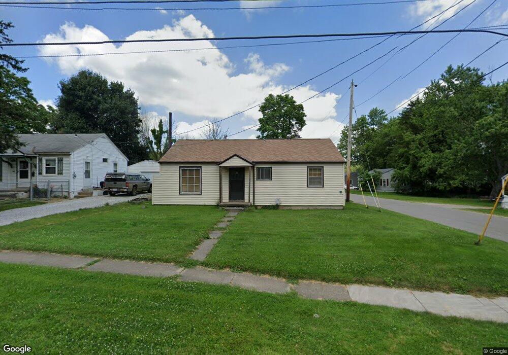
692 Mcpherson St Mansfield, OH 44903
Estimated Value: $61,000 - $80,000
3
Beds
1
Bath
912
Sq Ft
$78/Sq Ft
Est. Value
About This Home
This home is located at 692 Mcpherson St, Mansfield, OH 44903 and is currently estimated at $70,838, approximately $77 per square foot. 692 Mcpherson St is a home located in Richland County with nearby schools including Mansfield Elective Academy, Foundation Academy, and Goal Digital Academy.
Ownership History
Date
Name
Owned For
Owner Type
Purchase Details
Closed on
Nov 25, 2005
Sold by
Brooks Tracy E and Brooks Arevenise A
Bought by
Brooks Tracy E
Current Estimated Value
Home Financials for this Owner
Home Financials are based on the most recent Mortgage that was taken out on this home.
Original Mortgage
$21,057
Interest Rate
6.2%
Mortgage Type
VA
Create a Home Valuation Report for This Property
The Home Valuation Report is an in-depth analysis detailing your home's value as well as a comparison with similar homes in the area
Home Values in the Area
Average Home Value in this Area
Purchase History
| Date | Buyer | Sale Price | Title Company |
|---|---|---|---|
| Brooks Tracy E | -- | None Available |
Source: Public Records
Mortgage History
| Date | Status | Borrower | Loan Amount |
|---|---|---|---|
| Closed | Brooks Tracy E | $21,057 |
Source: Public Records
Tax History Compared to Growth
Tax History
| Year | Tax Paid | Tax Assessment Tax Assessment Total Assessment is a certain percentage of the fair market value that is determined by local assessors to be the total taxable value of land and additions on the property. | Land | Improvement |
|---|---|---|---|---|
| 2024 | $229 | $14,690 | $1,730 | $12,960 |
| 2023 | $229 | $14,690 | $1,730 | $12,960 |
| 2022 | $143 | $11,310 | $1,580 | $9,730 |
| 2021 | $144 | $11,310 | $1,580 | $9,730 |
| 2020 | $147 | $11,310 | $1,580 | $9,730 |
| 2019 | $163 | $11,310 | $1,580 | $9,730 |
| 2018 | $711 | $11,310 | $1,580 | $9,730 |
| 2017 | $722 | $11,310 | $1,580 | $9,730 |
| 2016 | $751 | $11,900 | $2,500 | $9,400 |
| 2015 | $751 | $11,900 | $2,500 | $9,400 |
| 2014 | $708 | $11,900 | $2,500 | $9,400 |
| 2012 | $270 | $11,910 | $2,630 | $9,280 |
Source: Public Records
Map
Nearby Homes
- 0 State Route 314 Unit 9069650
- 0 State Route 314 Unit 9067316
- 0 State Route 314 Unit 225021979
- 512 Burns St
- 269 Parkway Dr
- 480 Mcpherson St
- 450 Tracy St
- 641 Averill Ave
- 237 Helen Ave
- 426 Mcpherson St
- 0 Highway 30
- 170 Western Ave
- 185 Rowland Ave
- 212 Penn Ave
- 0 Voegele Ave Unit Lot 6048, 6049, 6
- 741 Burger Ave
- 362-364 W 6th St
- 96 Helen Ave
- 120 Gettings Place
- 371 Bell St
- 696 Mcpherson St
- 704 Mcpherson St
- 688 Mcpherson St
- 699 Mcpherson St
- 687 Mcpherson St
- 708 Mcpherson St
- 467 Collins Dr
- 693 Mcpherson St
- 678 Mcpherson St
- 468 Collins Dr
- 679 Mcpherson St
- 711 Mcpherson St
- 473 Collins Dr
- 474 Collins Dr
- 715 Mcpherson St
- 722 Mcpherson St
- 469 Stark St
- 666 Mcpherson St
- 719 Mcpherson St
- 481 Collins Dr