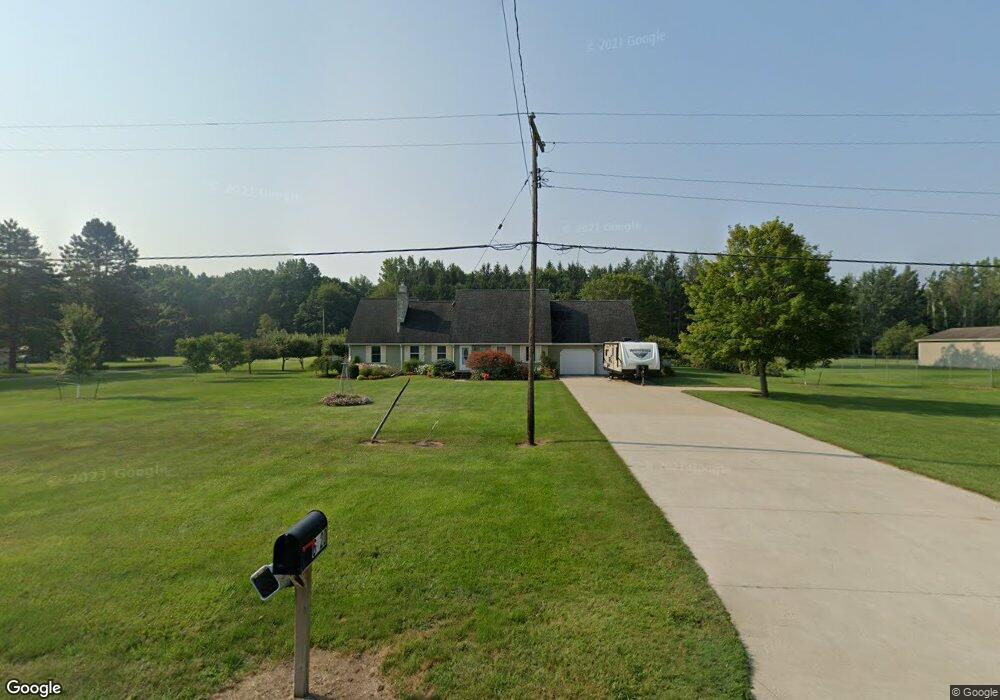
6920 Curtis Rd Bridgeport, MI 48722
Estimated Value: $235,000 - $350,000
About This Home
This home is located at 6920 Curtis Rd, Bridgeport, MI 48722 and is currently estimated at $282,622, approximately $117 per square foot. 6920 Curtis Rd is a home located in Saginaw County with nearby schools including Thomas White School, Martin G. Atkins Elementary School, and Bridgeport-Spaulding Middle School - Martin G. Atkins.
Ownership History
We collect this data history from publicly available records. To have your information removed, we recommend requesting removal directly through your county’s website.
Purchase Details
Purchase Details
Home Financials for this Owner
Home Financials are based on the most recent Mortgage that was taken out on this home.Purchase History
We collect this data history from publicly available records. To have your information removed, we recommend requesting removal directly through your county’s website.
| Date | Buyer | Sale Price | Title Company |
|---|---|---|---|
| -- | -- | ||
| $145,000 | -- | ||
| $145,000 | -- |
Mortgage History
We collect this data history from publicly available records. To have your information removed, we recommend requesting removal directly through your county’s website.
| Date | Status | Borrower | Loan Amount |
|---|---|---|---|
| Previous Owner | $123,250 |
Tax History
We collect this data history from publicly available records. To have your information removed, we recommend requesting removal directly through your county’s website.
| Year | Tax Paid | Tax Assessment Tax Assessment Total Assessment is a certain percentage of the fair market value that is determined by local assessors to be the total taxable value of land and additions on the property. | Land | Improvement |
|---|---|---|---|---|
| 2025 | $873 | $132,800 | $0 | $0 |
| 2024 | $847 | $128,700 | $0 | $0 |
| 2023 | $807 | $111,300 | $0 | $0 |
| 2022 | $2,591 | $99,100 | $0 | $0 |
| 2021 | $2,376 | $87,200 | $0 | $0 |
| 2020 | $2,318 | $80,800 | $0 | $0 |
| 2019 | $2,207 | $76,100 | $7,000 | $69,100 |
| 2018 | $703 | $75,000 | $0 | $0 |
| 2017 | $1,996 | $74,600 | $0 | $0 |
| 2016 | $2,168 | $69,100 | $0 | $0 |
| 2014 | -- | $61,100 | $0 | $54,900 |
| 2013 | -- | $60,600 | $0 | $0 |
Map
- 6450 Curtis Rd
- 6364 Townline Rd
- 6190 Maple Rd
- 5745 Townline Rd
- 6000 Lange Rd
- Parcel E W Rolling Hills Dr
- Parcel B W Rolling Hills Dr
- Parcel D W Rolling Hills Dr
- Parcel F W Rolling Hills Dr
- Parcel C W Rolling Hills Dr
- 7813 Rookway Rd
- 8780 Dixie Hwy
- 4301 Curtis Rd
- 0 Judd Rd
- 0 Lange Rd
- 9239 Lange Rd
- 6605 Bridgeport Hwy
- 6227 Rathbun Rd
- 3937 Curtis Rd
- 1170 W Tuscola Rd
- 6900 Curtis Rd
- 6950 Curtis Rd
- 6880 Curtis Rd
- 6944 Curtis Rd
- 6974 Curtis Rd
- 6975 Curtis Rd
- 6790 Curtis Rd
- 6774 Curtis Rd
- 6770 Curtis Rd
- 6770 E Curtis Rd
- 6795 Curtis Rd
- 6700 Curtis Rd
- 6722 Curtis Rd
- 6722 E Curtis Rd
- 6722 E Curtis Rd Unit 2336
- 7600 Dixie Hwy
- 7600 Dixie Hwy
- 7590 Dixie Hwy
- 7640 Dixie Hwy
- 7483 Dixie Hwy
Ask me questions while you tour the home.