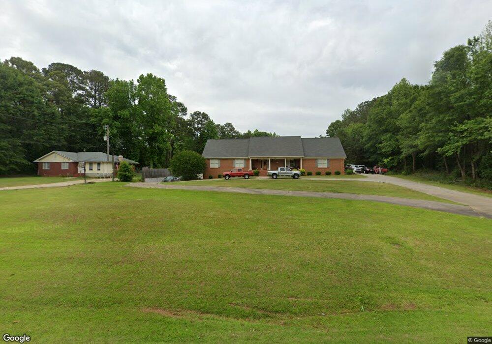
6920 Highway 212 Covington, GA 30016
Estimated Value: $394,000 - $487,000
--
Bed
2
Baths
2,127
Sq Ft
$202/Sq Ft
Est. Value
About This Home
This home is located at 6920 Highway 212, Covington, GA 30016 and is currently estimated at $429,081, approximately $201 per square foot. 6920 Highway 212 is a home located in Newton County with nearby schools including Oak Hill Elementary School, Veterans Memorial Middle School, and Alcovy High School.
Ownership History
Date
Name
Owned For
Owner Type
Purchase Details
Closed on
Mar 15, 2023
Sold by
Wilson Mike
Bought by
Wilson Michael Wayne and Wilson Donna Digby
Current Estimated Value
Purchase Details
Closed on
Feb 3, 2010
Sold by
Wilson Michael
Bought by
Wilson Michael and Wilson Donna
Home Financials for this Owner
Home Financials are based on the most recent Mortgage that was taken out on this home.
Original Mortgage
$55,000
Interest Rate
4.97%
Mortgage Type
New Conventional
Create a Home Valuation Report for This Property
The Home Valuation Report is an in-depth analysis detailing your home's value as well as a comparison with similar homes in the area
Home Values in the Area
Average Home Value in this Area
Purchase History
| Date | Buyer | Sale Price | Title Company |
|---|---|---|---|
| Wilson Michael Wayne | -- | -- | |
| Wilson Michael | -- | -- |
Source: Public Records
Mortgage History
| Date | Status | Borrower | Loan Amount |
|---|---|---|---|
| Previous Owner | Wilson Michael | $55,000 |
Source: Public Records
Tax History Compared to Growth
Tax History
| Year | Tax Paid | Tax Assessment Tax Assessment Total Assessment is a certain percentage of the fair market value that is determined by local assessors to be the total taxable value of land and additions on the property. | Land | Improvement |
|---|---|---|---|---|
| 2024 | $4,525 | $182,480 | $19,200 | $163,280 |
| 2023 | $4,204 | $158,800 | $5,600 | $153,200 |
| 2022 | $2,671 | $102,320 | $5,600 | $96,720 |
| 2021 | $2,729 | $93,880 | $5,600 | $88,280 |
| 2020 | $2,568 | $80,320 | $4,800 | $75,520 |
| 2019 | $2,571 | $79,280 | $4,800 | $74,480 |
| 2018 | $1,748 | $54,800 | $4,800 | $50,000 |
| 2017 | $1,650 | $51,960 | $4,800 | $47,160 |
| 2016 | $1,650 | $51,960 | $4,800 | $47,160 |
| 2015 | $1,690 | $53,120 | $4,800 | $48,320 |
| 2014 | $1,686 | $53,120 | $0 | $0 |
Source: Public Records
Map
Nearby Homes
- 14908 Brown Bridge Rd
- 134 Oak Hill West Rd
- 170 Gibson Way
- 14845 Brown Bridge Rd
- 35 Fourwood Dr
- 5240 Highway 20 S
- 5312 Ashley Dr SE
- 0 Goldfinch Dr
- 0 Goldfinch Dr Unit 7564125
- 120 Wintergreen Ct
- 1020 Thornwood Cir
- 634 Knollwood Cir SE
- 2178 NE Hillwood Dr
- 4822 Navajo Trail SE
- 339 Buckingham Dr SW
- 4824 Georgia 20
- 821 Greenwood Trail SE
- 6023 Highway 20 S
- 801 Greenwood Trail SE
- 4710 Cedar Brook Dr SE
- 6932 Highway 212
- 6948 Highway 212
- 6948 Georgia 212
- 6927 Highway 212
- 6905 Highway 212
- 6958 Georgia 212 Unit 17
- 6958 Georgia 212
- 6958 Highway 212 Unit 17
- 6958 Highway 212
- 6901 Highway 212
- 6883 Highway 212
- 6869 Highway 212
- 6852 Highway 212
- 6855 Highway 212
- 6990 Highway 212 Unit 16
- 6990 Highway 212
- 6990 Highway 212
- 6990 Georgia 212 Unit 16
- 6838 Highway 212
- 6825 Highway 212