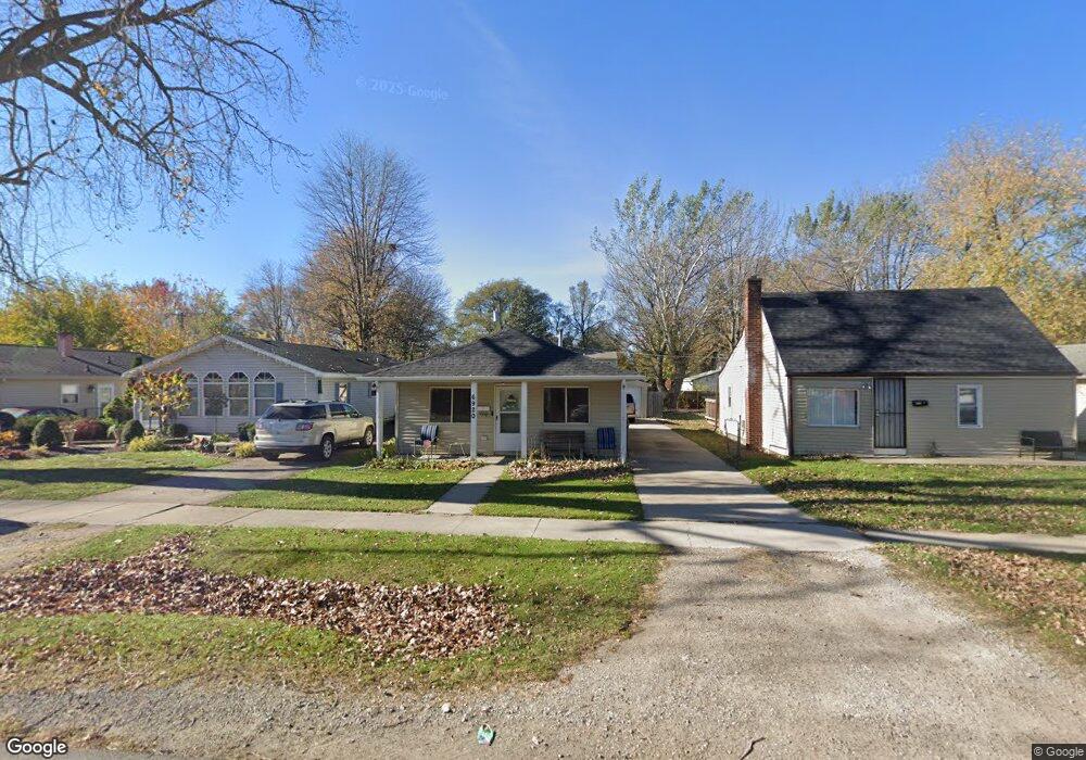
6920 Janet St Taylor, MI 48180
Estimated Value: $147,081 - $155,000
3
Beds
1
Bath
864
Sq Ft
$175/Sq Ft
Est. Value
About This Home
This home is located at 6920 Janet St, Taylor, MI 48180 and is currently estimated at $150,770, approximately $174 per square foot. 6920 Janet St is a home located in Wayne County with nearby schools including Clarence Randall Elementary School, Hoover Middle School, and Taylor High School.
Ownership History
Date
Name
Owned For
Owner Type
Purchase Details
Closed on
Nov 29, 2006
Sold by
Singleton Charles W and Singleton Ursalina
Bought by
Deutsche Bank National Trust Co and New Century Home Equity Loan Trust
Current Estimated Value
Purchase Details
Closed on
Feb 23, 2004
Sold by
Singleton Charles W and Singleton Ursalina
Bought by
Singleton Charles W
Home Financials for this Owner
Home Financials are based on the most recent Mortgage that was taken out on this home.
Original Mortgage
$57,400
Interest Rate
9.75%
Mortgage Type
New Conventional
Purchase Details
Closed on
Nov 19, 2003
Sold by
Singleton Charles and Estate Of Charles Gordon Singl
Bought by
Singleton Charles W
Create a Home Valuation Report for This Property
The Home Valuation Report is an in-depth analysis detailing your home's value as well as a comparison with similar homes in the area
Home Values in the Area
Average Home Value in this Area
Purchase History
| Date | Buyer | Sale Price | Title Company |
|---|---|---|---|
| Deutsche Bank National Trust Co | $40,000 | None Available | |
| Singleton Charles W | -- | Nations Title Of Louisiana | |
| Singleton Charles W | $18,832 | -- |
Source: Public Records
Mortgage History
| Date | Status | Borrower | Loan Amount |
|---|---|---|---|
| Previous Owner | Singleton Charles W | $57,400 |
Source: Public Records
Tax History
| Year | Tax Paid | Tax Assessment Tax Assessment Total Assessment is a certain percentage of the fair market value that is determined by local assessors to be the total taxable value of land and additions on the property. | Land | Improvement |
|---|---|---|---|---|
| 2025 | $1,647 | $61,300 | $0 | $0 |
| 2024 | $1,599 | $55,200 | $0 | $0 |
| 2023 | $1,782 | $41,200 | $0 | $0 |
| 2022 | $1,504 | $39,200 | $0 | $0 |
| 2021 | $1,594 | $37,400 | $0 | $0 |
| 2020 | $1,576 | $34,200 | $0 | $0 |
| 2019 | $156,902 | $28,500 | $0 | $0 |
| 2018 | $1,321 | $26,000 | $0 | $0 |
| 2017 | $563 | $30,000 | $0 | $0 |
| 2016 | $1,892 | $29,100 | $0 | $0 |
| 2015 | $2,620 | $26,200 | $0 | $0 |
| 2013 | $2,670 | $27,900 | $0 | $0 |
| 2012 | $1,752 | $27,300 | $6,900 | $20,400 |
Source: Public Records
Map
Nearby Homes
- 6942 Janet St
- 6810 Oldham St
- 6713 Mcguire St
- 26009 1st St Unit RA005
- 26008 3rd St Unit RA086
- 26010 3rd St Unit RA087
- 7536 Wilkie St
- 6941 Fellrath St
- 26019 2nd St Unit RA070
- 7550 Wilkie St
- 26018 5th St Unit 197
- 26020 5th St Unit RA198
- 25255 Charles St
- 26017 4th St Unit RA175
- 26103 3rd St Unit RA125
- 26111 1st St Unit RA020
- 26118 2nd St Unit RA053
- 26118 4th St Unit RA159
- 26012 Gary St Unit RV061
- 26107 5th St Unit RA237
Your Personal Tour Guide
Ask me questions while you tour the home.