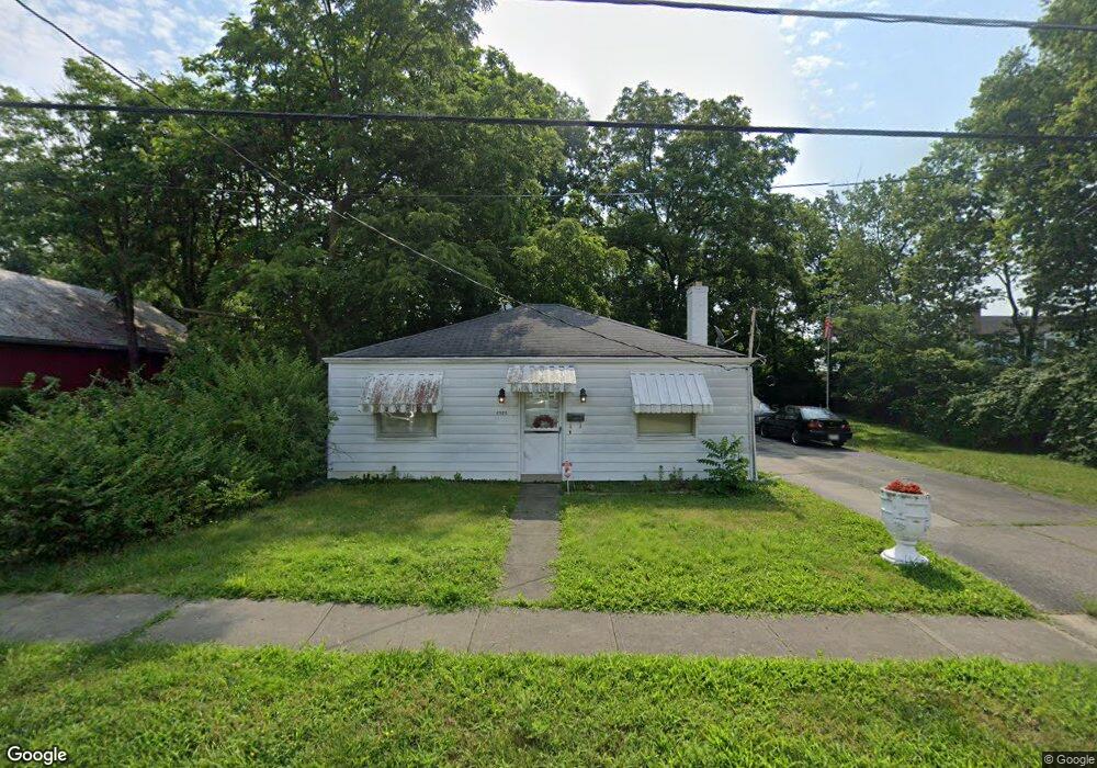
6920 Mulberry St Cincinnati, OH 45239
Estimated Value: $135,680 - $151,000
2
Beds
1
Bath
840
Sq Ft
$167/Sq Ft
Est. Value
About This Home
This home is located at 6920 Mulberry St, Cincinnati, OH 45239 and is currently estimated at $140,670, approximately $167 per square foot. 6920 Mulberry St is a home located in Hamilton County with nearby schools including North College Hill Elementary School, North College Hill Middle School, and North College Hill High School.
Ownership History
Date
Name
Owned For
Owner Type
Purchase Details
Closed on
Jan 27, 1997
Sold by
Hughes Crit and Hughes Sadie B
Bought by
Guth Freddie Clayton and Guth Karen S
Current Estimated Value
Home Financials for this Owner
Home Financials are based on the most recent Mortgage that was taken out on this home.
Original Mortgage
$61,200
Outstanding Balance
$7,195
Interest Rate
8%
Mortgage Type
VA
Estimated Equity
$133,475
Create a Home Valuation Report for This Property
The Home Valuation Report is an in-depth analysis detailing your home's value as well as a comparison with similar homes in the area
Home Values in the Area
Average Home Value in this Area
Purchase History
| Date | Buyer | Sale Price | Title Company |
|---|---|---|---|
| Guth Freddie Clayton | $60,000 | -- |
Source: Public Records
Mortgage History
| Date | Status | Borrower | Loan Amount |
|---|---|---|---|
| Open | Guth Freddie Clayton | $61,200 |
Source: Public Records
Tax History Compared to Growth
Tax History
| Year | Tax Paid | Tax Assessment Tax Assessment Total Assessment is a certain percentage of the fair market value that is determined by local assessors to be the total taxable value of land and additions on the property. | Land | Improvement |
|---|---|---|---|---|
| 2024 | $757 | $24,935 | $6,290 | $18,645 |
| 2023 | $803 | $24,935 | $6,290 | $18,645 |
| 2022 | $763 | $19,450 | $6,272 | $13,178 |
| 2021 | $738 | $19,450 | $6,272 | $13,178 |
| 2020 | $657 | $19,450 | $6,272 | $13,178 |
| 2019 | $574 | $17,063 | $5,502 | $11,561 |
| 2018 | $575 | $17,063 | $5,502 | $11,561 |
| 2017 | $544 | $17,063 | $5,502 | $11,561 |
| 2016 | $485 | $16,916 | $5,625 | $11,291 |
| 2015 | $493 | $16,916 | $5,625 | $11,291 |
| 2014 | $493 | $16,916 | $5,625 | $11,291 |
| 2013 | $566 | $18,390 | $6,115 | $12,275 |
Source: Public Records
Map
Nearby Homes
- 6941 Mulberry St
- 6943 Mulberry St
- 6912 Noble Ave
- 6909 Lois Dr
- 7004 Mulberry St
- 1841 Bising Ave
- 1850 Bising Ave
- 6942 Gloria Dr
- 1842 Bising Ave
- 1944 Dallas Ave
- 6842 Grace Ave
- 7068 Mulberry St
- 1917 Dallas Ave
- 1835 Dallas Ave
- 1818 Dallas Ave
- 1902 Knollridge Ln
- 1805 de Armand Ave
- 2029 Sundale Ave
- 1802 Sundale Ave
- 1842 Centerridge Ave
- 6942 Mulberry St
- 6908 Mulberry St
- 6923 Noble Ave
- 6929 Noble Ave
- 6933 Noble Ave
- 6944 Mulberry St
- 6937 Noble Ave
- 6946 Mulberry St
- 6939 Noble Ave
- 6945 Mulberry St
- 6948 Mulberry St
- 6947 Mulberry St
- 6945 Noble Ave
- 6926 Noble Ave
- 6922 Noble Ave
- 6950 Mulberry St
- 6932 Noble Ave
- 6916 Noble Ave
- 6949 Mulberry St
- 6947 Noble Ave