69202 Bluebird Dr Saint Clairsville, OH 43950
Estimated Value: $310,000 - $430,000
3
Beds
3
Baths
2,408
Sq Ft
$160/Sq Ft
Est. Value
About This Home
This home is located at 69202 Bluebird Dr, Saint Clairsville, OH 43950 and is currently estimated at $385,956, approximately $160 per square foot. 69202 Bluebird Dr is a home with nearby schools including St. Clairsville Elementary School, St. Clairsville Middle School, and St. Clairsville High School.
Ownership History
Date
Name
Owned For
Owner Type
Purchase Details
Closed on
Sep 3, 2015
Sold by
Alderman Randall and Alderman Lori
Bought by
Harris Bruce A and Harris Marie E
Current Estimated Value
Home Financials for this Owner
Home Financials are based on the most recent Mortgage that was taken out on this home.
Original Mortgage
$240,411
Outstanding Balance
$184,888
Interest Rate
3%
Mortgage Type
Construction
Estimated Equity
$201,068
Purchase Details
Closed on
Feb 5, 2002
Sold by
Alderman Randall and Alderman Lori
Bought by
Alderman Randall and Alderman Lori
Purchase Details
Closed on
Jan 2, 2002
Bought by
Proban Llc
Purchase Details
Closed on
Jan 1, 1986
Bought by
Proban Llc
Create a Home Valuation Report for This Property
The Home Valuation Report is an in-depth analysis detailing your home's value as well as a comparison with similar homes in the area
Home Values in the Area
Average Home Value in this Area
Purchase History
| Date | Buyer | Sale Price | Title Company |
|---|---|---|---|
| Harris Bruce A | $46,000 | Northwest Title | |
| Alderman Randall | $30,000 | -- | |
| Proban Llc | -- | -- | |
| Proban Llc | -- | -- |
Source: Public Records
Mortgage History
| Date | Status | Borrower | Loan Amount |
|---|---|---|---|
| Open | Harris Bruce A | $240,411 |
Source: Public Records
Tax History Compared to Growth
Tax History
| Year | Tax Paid | Tax Assessment Tax Assessment Total Assessment is a certain percentage of the fair market value that is determined by local assessors to be the total taxable value of land and additions on the property. | Land | Improvement |
|---|---|---|---|---|
| 2024 | $4,412 | $126,500 | $10,970 | $115,530 |
| 2023 | $4,234 | $115,270 | $8,690 | $106,580 |
| 2022 | $3,901 | $115,269 | $8,694 | $106,575 |
| 2021 | $3,881 | $115,269 | $8,694 | $106,575 |
| 2020 | $3,466 | $97,690 | $7,370 | $90,320 |
| 2019 | $3,468 | $97,690 | $7,370 | $90,320 |
| 2018 | $3,456 | $97,690 | $7,370 | $90,320 |
| 2017 | $3,163 | $85,270 | $19,040 | $66,230 |
| 2016 | $3,124 | $85,270 | $19,040 | $66,230 |
| 2015 | $515 | $14,150 | $14,150 | $0 |
| 2014 | $490 | $12,870 | $12,870 | $0 |
| 2013 | $486 | $12,870 | $12,870 | $0 |
Source: Public Records
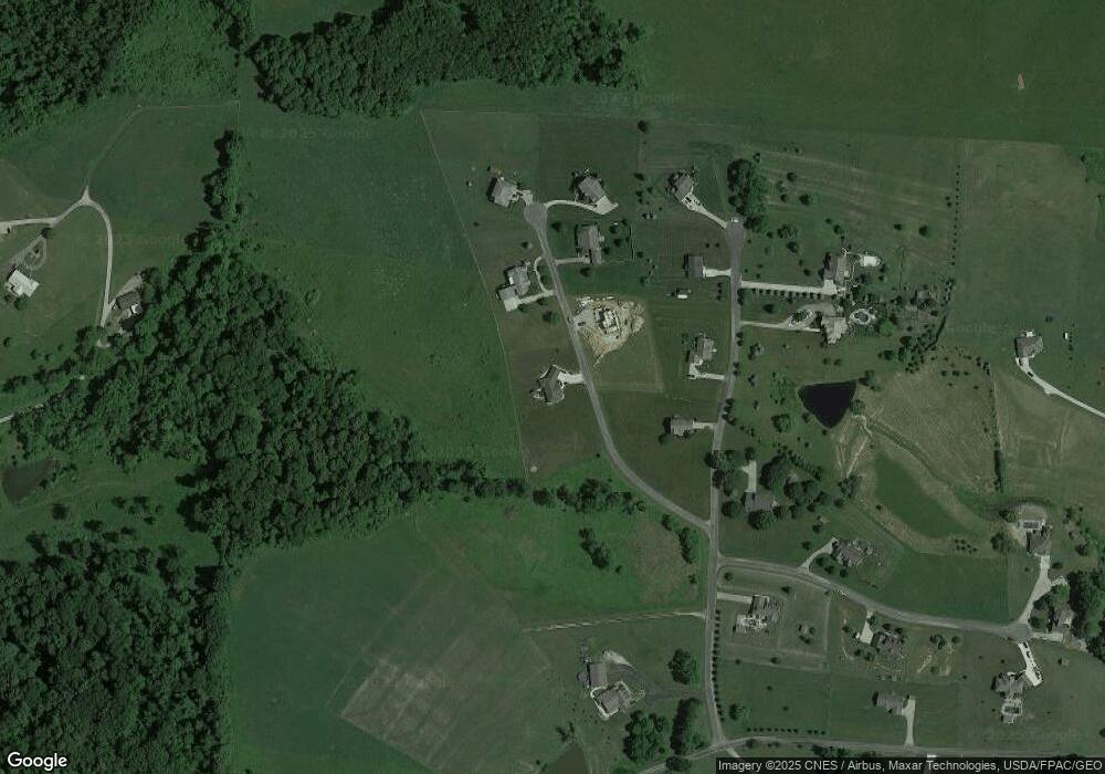
Map
Nearby Homes
- 69210 Bluebird Dr
- 45223 Oak Ave
- 46381 Country Lake Dr
- 0 Watson Rd Unit 5068291
- 35 Ac Saffel Rd
- 19 acres Saffell Rd
- 15 acres Saffell Rd
- 35 acres Saffell Rd
- 67821 Tulane Rd
- 0 National Rd Unit 225006918
- 44291 Main St
- 47442 National Rd W
- Lot 78/79 Mills Rd
- 47546 National Rd
- 43650 Lafferty Rd
- 46871 E Almar Ln
- 47622 National Rd
- 44007 Lew Jan Dr
- 47002 Columbia Hill Rd
- 47671 Meadowview Dr
- 69221 Bluebird Dr
- 69200 Cardinal Dr
- 69220 Cardinal Dr
- 69231 Bluebird Dr
- 0 Bluebird Dr Unit 3981598
- 0 Bluebird Dr Unit 3870208
- 69240 Cardinal Dr
- 69250 Bluebird Dr
- 69201 Cardinal Dr
- 69251 Bluebird Dr
- 0 Wren Dr Unit T9515338
- 69260 Cardinal Dr
- 69164 Cardinal Dr
- 69175 Cardinal Dr
- 69175 Cardinal Dr
- 69245 Cardinal Dr
- 45851 Wren Dr
- 45850 Wren Dr
- 45760 Singer Rd
- 45585 Singer Rd