6921 Hwy 431 S Hampton Cove, AL 35763
Estimated Value: $2,619,432
--
Bed
2
Baths
25,400
Sq Ft
$103/Sq Ft
Est. Value
About This Home
This home is located at 6921 Hwy 431 S, Hampton Cove, AL 35763 and is currently estimated at $2,619,432, approximately $103 per square foot. 6921 Hwy 431 S is a home located in Madison County with nearby schools including Hampton Cove Elementary School, Hampton Cove Middle School, and Huntsville High School.
Ownership History
Date
Name
Owned For
Owner Type
Purchase Details
Closed on
Apr 6, 2023
Sold by
Davidson Homes
Bought by
Goldsmith Ian and Gower Lauren
Current Estimated Value
Purchase Details
Closed on
Mar 31, 2023
Sold by
D R Horton Inc
Bought by
Chatman Naomi
Purchase Details
Closed on
Mar 30, 2023
Sold by
D R Horton Inc
Bought by
Hinkemeyer Thomas James
Purchase Details
Closed on
Dec 12, 2022
Sold by
Saint Properties Llc
Bought by
Madison County
Purchase Details
Closed on
Mar 2, 2006
Sold by
Kdc Llc
Bought by
Saint Properties Llc
Home Financials for this Owner
Home Financials are based on the most recent Mortgage that was taken out on this home.
Original Mortgage
$1,260,000
Interest Rate
6.04%
Mortgage Type
Commercial
Create a Home Valuation Report for This Property
The Home Valuation Report is an in-depth analysis detailing your home's value as well as a comparison with similar homes in the area
Home Values in the Area
Average Home Value in this Area
Purchase History
| Date | Buyer | Sale Price | Title Company |
|---|---|---|---|
| Goldsmith Ian | $269,900 | None Listed On Document | |
| Chatman Naomi | $310,055 | None Listed On Document | |
| Hinkemeyer Thomas James | $274,415 | None Listed On Document | |
| Madison County | $36,250 | -- | |
| Madison County Bank | $36,250 | None Listed On Document | |
| Saint Properties Llc | -- | -- |
Source: Public Records
Mortgage History
| Date | Status | Borrower | Loan Amount |
|---|---|---|---|
| Previous Owner | Saint Properties Llc | $1,260,000 |
Source: Public Records
Tax History Compared to Growth
Tax History
| Year | Tax Paid | Tax Assessment Tax Assessment Total Assessment is a certain percentage of the fair market value that is determined by local assessors to be the total taxable value of land and additions on the property. | Land | Improvement |
|---|---|---|---|---|
| 2024 | -- | $210,840 | $34,800 | $176,040 |
| 2023 | $7,605 | $211,260 | $35,220 | $176,040 |
| 2022 | $7,294 | $202,720 | $35,220 | $167,500 |
| 2021 | $7,294 | $202,720 | $35,220 | $167,500 |
| 2020 | $7,272 | $200,020 | $35,220 | $164,800 |
| 2019 | $7,195 | $200,020 | $35,220 | $164,800 |
| 2018 | $7,257 | $201,720 | $0 | $0 |
| 2017 | $7,257 | $201,720 | $0 | $0 |
| 2016 | $7,257 | $201,720 | $0 | $0 |
| 2015 | $7,257 | $201,720 | $0 | $0 |
| 2014 | $7,390 | $205,360 | $0 | $0 |
Source: Public Records
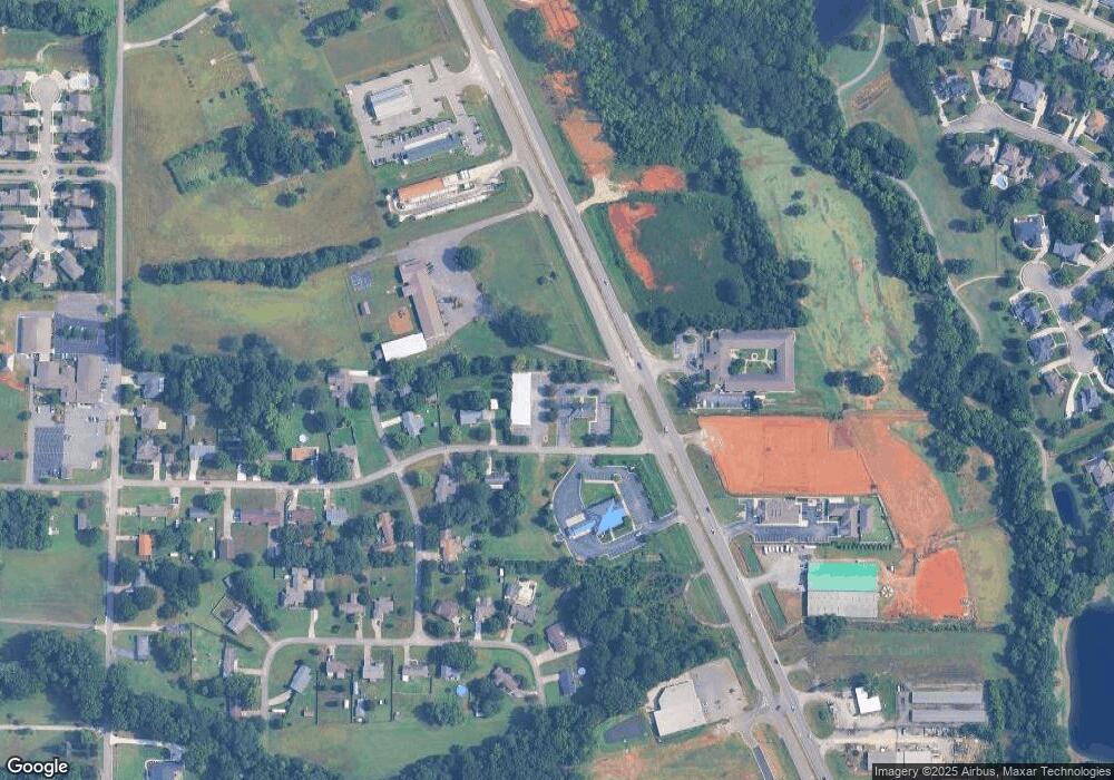
Map
Nearby Homes
- Lot 1 Wade Rd
- 6609 Emmett Dr SE
- 5000 Valley Cove Dr SE
- 161 Hartside Rd SE
- 5104 Devonshire Dr SE
- 6709 Station View Dr
- 7123 Kingsbridge Ln SE
- 7129 Kingsbridge Ln SE
- 4905 Jenna Cir SE
- 6805 Laura Brooke Dr SE
- 4854 Cove Valley Dr SE
- 5005 Creekstone Dr SE
- 5015 Willow Creek Dr SE
- 7019 Ridge Crest Rd SE Unit LOT 45
- 7023 Ridge Crest Rd SE Unit LOT 47
- 7025 Ridge Crest Rd SE Unit LOT 48
- 7003 Cobble Hill Dr SE
- 7035 Ridge Crest Rd SE Unit LOT 53
- 5031 Patriot Park Dr SE
- 7041 Ridge Crest Rd SE Unit LOT 56
- 6921 Highway 431 S
- 6921 U S 431
- 6941 Highway 431 S
- 8.49 Acres 431 S
- 6967 431 S
- 6967 U S 431
- 0 Hwy 431 S
- 6887 Hwy 431
- 6963 U S 431
- 5 Hwy 431 S
- 6887 Highway 431 S
- 6981 Highway 431 S
- 6910 Highway 431 S
- 6999 Highway 431 S
- 6978 Highway 431 S
- 387 Wade Rd SE
- 6993 Highway 431 S
- 0 Wade Rd Unit 1098814
- 0 Wade Rd Unit 1096716
- 6867 Highway 431 S