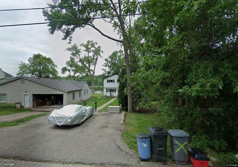
6922 Colony Dr West Bloomfield, MI 48323
Estimated Value: $399,000 - $565,000
3
Beds
2
Baths
2,160
Sq Ft
$224/Sq Ft
Est. Value
About This Home
This home is located at 6922 Colony Dr, West Bloomfield, MI 48323 and is currently estimated at $482,825, approximately $223 per square foot. 6922 Colony Dr is a home located in Oakland County with nearby schools including Clifford H. Smart Middle School, Walled Lake Northern High School, and Our Lady Of Refuge School.
Ownership History
Date
Name
Owned For
Owner Type
Purchase Details
Closed on
May 14, 2003
Sold by
Mann James W
Bought by
Mann James W and James W Mann Trust
Current Estimated Value
Purchase Details
Closed on
May 13, 2003
Sold by
Mann James W and James W Mann Trust
Bought by
Mann James W
Purchase Details
Closed on
Jan 9, 1998
Sold by
James W Mann Tr
Bought by
Mann James
Create a Home Valuation Report for This Property
The Home Valuation Report is an in-depth analysis detailing your home's value as well as a comparison with similar homes in the area
Home Values in the Area
Average Home Value in this Area
Purchase History
| Date | Buyer | Sale Price | Title Company |
|---|---|---|---|
| Mann James W | -- | Flagstar Title Ins Agency | |
| Mann James W | -- | Flagstar Title Ins Agency | |
| Mann James | -- | -- |
Source: Public Records
Tax History Compared to Growth
Tax History
| Year | Tax Paid | Tax Assessment Tax Assessment Total Assessment is a certain percentage of the fair market value that is determined by local assessors to be the total taxable value of land and additions on the property. | Land | Improvement |
|---|---|---|---|---|
| 2024 | $3,858 | $196,040 | $0 | $0 |
| 2022 | $3,654 | $175,990 | $107,050 | $68,940 |
| 2021 | $3,279 | $170,460 | $0 | $0 |
| 2020 | $1,932 | $167,220 | $107,050 | $60,170 |
| 2018 | $3,182 | $162,360 | $97,310 | $65,050 |
| 2015 | -- | $103,670 | $0 | $0 |
| 2014 | -- | $91,510 | $0 | $0 |
| 2011 | -- | $82,740 | $0 | $0 |
Source: Public Records
Map
Nearby Homes
- 6978 Colony Dr
- 3991 Fieldview Ave
- 6903 Dandison Blvd
- 4066 Green Lake Rd
- 3965 Carrick Ave
- 0000 Langtoft
- 3950 Bradmore Ave
- 6675 Langtoft St
- 4245 Bunker Ave
- 4335 Crestdale Ave
- 6768 Buckland Ave
- 4442 Borland St
- 4212 Greendale Ave
- 7337 Richardson Rd
- 3632 Fieldview Ave
- 6980 Hambro St
- 4540 Rolling Pine Ct
- 7381 Crestmore St
- 3641 Green Lake Rd
- 7369 Sweetbriar
- 6918 Colony Dr
- 6938 Colony Dr
- 6930 Colony Dr
- 6906 Colony Dr
- 6942 Colony Dr
- 6896 Colony Dr
- 6950 Colony Dr
- 6894 Colony Dr
- 0 Howarth Unit 29105282
- 0 Howarth Unit 4559565
- 0 Howarth Unit 4962866
- 0 Howarth Unit 907614
- 0 Howarth Unit 214069915
- 0 Howarth Unit R219042193
- 0 Howarth Unit R2200055622
- 0 Howarth Unit 2210027091
- 6956 Colony Dr
- 6888 Colony Dr
- 6949 Colony Dr
- 4116 Welland Dr