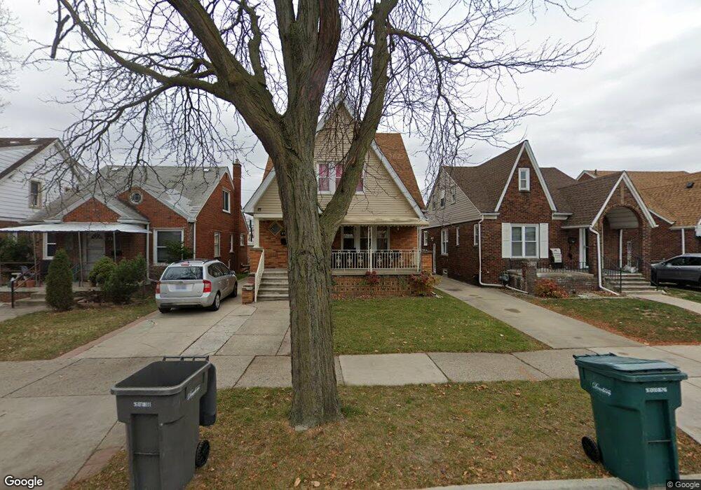
6923 Calhoun St Dearborn, MI 48126
Hemlock Park NeighborhoodEstimated Value: $260,335 - $329,000
6
Beds
3
Baths
1,717
Sq Ft
$167/Sq Ft
Est. Value
About This Home
This home is located at 6923 Calhoun St, Dearborn, MI 48126 and is currently estimated at $286,834, approximately $167 per square foot. 6923 Calhoun St is a home located in Wayne County with nearby schools including Lowrey School, Lowrey Middle School, and Fordson High School.
Ownership History
Date
Name
Owned For
Owner Type
Purchase Details
Closed on
Apr 19, 2024
Sold by
Soueid Khalil and Dabaja Mounir
Bought by
Soueid Mandi Khalil
Current Estimated Value
Purchase Details
Closed on
Nov 20, 2009
Sold by
Hojeij Zahra
Bought by
Soueid Khalil
Purchase Details
Closed on
Mar 13, 2009
Sold by
Citimortgage Inc
Bought by
Hajeij Zahra
Purchase Details
Closed on
Dec 20, 2007
Sold by
Ayoub Sultan
Bought by
Citimortgage Inc
Purchase Details
Closed on
Apr 13, 2000
Sold by
Dear Carrie
Bought by
Ayoub Sultan
Create a Home Valuation Report for This Property
The Home Valuation Report is an in-depth analysis detailing your home's value as well as a comparison with similar homes in the area
Home Values in the Area
Average Home Value in this Area
Purchase History
We collect this data history from publicly available records. To have your information removed, we recommend requesting removal directly through your county’s website.
| Date | Buyer | Sale Price | Title Company |
|---|---|---|---|
| Soueid Mandi Khalil | -- | None Listed On Document | |
| Soueid Mandi Khalil | -- | None Listed On Document | |
| Soueid Khalil | $80,000 | Minnesota Title Agency | |
| Hajeij Zahra | $17,500 | Attorneys Title Agency Inc | |
| Citimortgage Inc | $81,853 | None Available | |
| Ayoub Sultan | $125,000 | -- |
Source: Public Records
Tax History
| Year | Tax Paid | Tax Assessment Tax Assessment Total Assessment is a certain percentage of the fair market value that is determined by local assessors to be the total taxable value of land and additions on the property. | Land | Improvement |
|---|---|---|---|---|
| 2025 | $2,215 | $112,100 | $0 | $0 |
| 2024 | $2,166 | $105,200 | $0 | $0 |
| 2023 | $2,050 | $81,900 | $0 | $0 |
| 2022 | $2,307 | $69,000 | $0 | $0 |
| 2021 | $2,681 | $62,600 | $0 | $0 |
| 2019 | $2,654 | $61,600 | $0 | $0 |
| 2018 | $2,248 | $54,500 | $0 | $0 |
| 2017 | $645 | $48,100 | $0 | $0 |
| 2016 | $2,103 | $45,100 | $0 | $0 |
| 2015 | $3,974 | $43,600 | $0 | $0 |
| 2013 | $3,850 | $38,500 | $0 | $0 |
| 2011 | -- | $42,300 | $0 | $0 |
Source: Public Records
Map
Nearby Homes
- 6842 Jonathon St
- 7261 Reuter St
- 6413 Calhoun St
- 7241 Middlesex St
- 7247 Middlesex St
- 6306 Schaefer Rd
- 7524 Hartwell St
- 14433 W Warren Ave
- 7724 Maple St
- 7750 Morross Ct
- 6401 Kenilworth St
- 7813 Neckel St
- 7758 Reuter St
- 7444 Kendal St
- 7121 Pinehurst St
- 6120 Middlesex St
- 6417 Kendal St
- 6257 Miller Rd
- 7704 Oakman Blvd
- 6131 Appoline St
- 6915 Calhoun St
- 6929 Calhoun St
- 6937 Calhoun St
- 6907 Calhoun St
- 6945 Calhoun St
- 6901 Calhoun St
- 6863 Calhoun St
- 6951 Calhoun St
- 6934 Schaefer Rd
- 6950 Schaefer Rd
- 6922 Calhoun St
- 6855 Calhoun St Unit Bldg-Unit
- 6855 Calhoun St
- 6928 Calhoun St
- 6914 Calhoun St
- 6906 Calhoun St
- 6934 Calhoun St
- 6900 Calhoun St
- 6944 Calhoun St
- 6862 Calhoun St
Your Personal Tour Guide
Ask me questions while you tour the home.