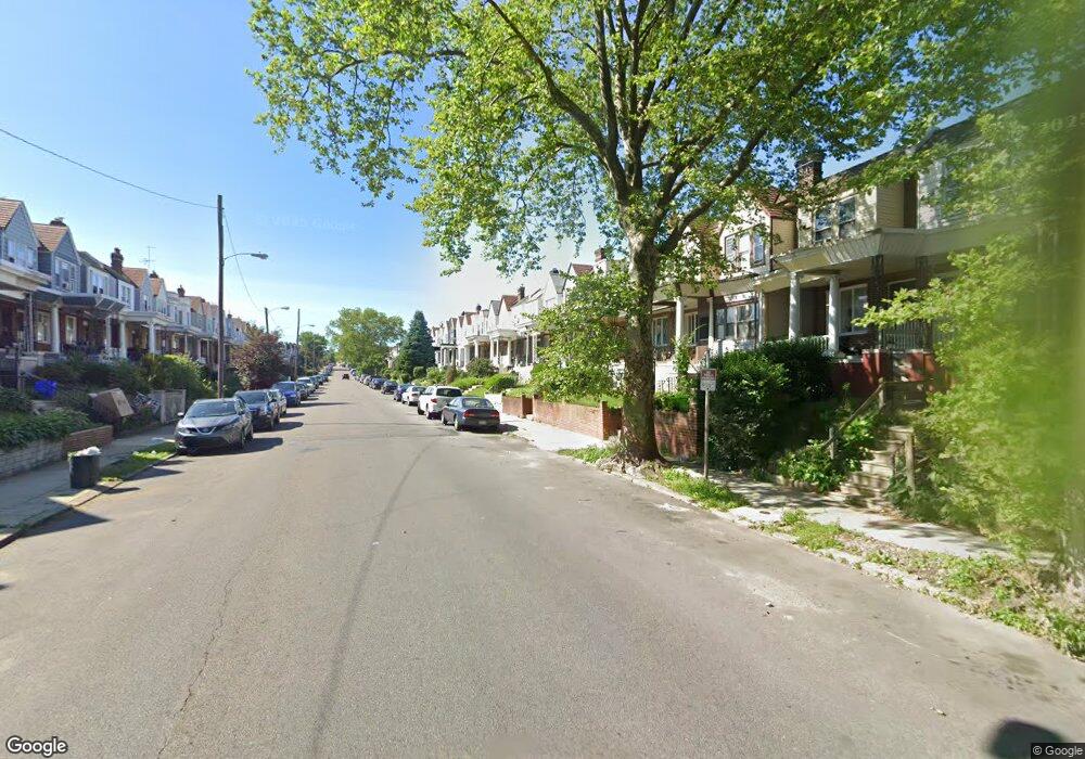
6925 Forrest Ave Philadelphia, PA 19138
West Oak Lane NeighborhoodEstimated Value: $181,000 - $234,000
3
Beds
1
Bath
1,146
Sq Ft
$181/Sq Ft
Est. Value
About This Home
This home is located at 6925 Forrest Ave, Philadelphia, PA 19138 and is currently estimated at $206,902, approximately $180 per square foot. 6925 Forrest Ave is a home located in Philadelphia County with nearby schools including William Rowen School, Gen. Louis Wagner Middle School, and Martin Luther King High School.
Ownership History
Date
Name
Owned For
Owner Type
Purchase Details
Closed on
Jun 16, 2005
Sold by
Vrap Llc
Bought by
Steiner Karen
Current Estimated Value
Home Financials for this Owner
Home Financials are based on the most recent Mortgage that was taken out on this home.
Original Mortgage
$47,250
Interest Rate
5.73%
Mortgage Type
Fannie Mae Freddie Mac
Purchase Details
Closed on
Sep 3, 2003
Sold by
Bankers Trust Co Of California Na
Bought by
Vrap Llc
Create a Home Valuation Report for This Property
The Home Valuation Report is an in-depth analysis detailing your home's value as well as a comparison with similar homes in the area
Home Values in the Area
Average Home Value in this Area
Purchase History
| Date | Buyer | Sale Price | Title Company |
|---|---|---|---|
| Steiner Karen | $52,500 | -- | |
| Vrap Llc | $41,005 | -- |
Source: Public Records
Mortgage History
| Date | Status | Borrower | Loan Amount |
|---|---|---|---|
| Previous Owner | Steiner Karen | $47,250 |
Source: Public Records
Tax History Compared to Growth
Tax History
| Year | Tax Paid | Tax Assessment Tax Assessment Total Assessment is a certain percentage of the fair market value that is determined by local assessors to be the total taxable value of land and additions on the property. | Land | Improvement |
|---|---|---|---|---|
| 2026 | $2,009 | $172,700 | $34,540 | $138,160 |
| 2025 | $2,009 | $172,700 | $34,540 | $138,160 |
| 2024 | $2,009 | $172,700 | $34,540 | $138,160 |
| 2023 | $2,009 | $143,500 | $28,700 | $114,800 |
| 2022 | $1,562 | $143,500 | $28,700 | $114,800 |
| 2021 | $1,562 | $0 | $0 | $0 |
| 2020 | $1,562 | $0 | $0 | $0 |
| 2019 | $1,631 | $0 | $0 | $0 |
| 2018 | $1,417 | $0 | $0 | $0 |
| 2017 | $1,417 | $0 | $0 | $0 |
| 2016 | $1,417 | $0 | $0 | $0 |
| 2015 | $1,289 | $0 | $0 | $0 |
| 2014 | -- | $96,200 | $10,200 | $86,000 |
| 2012 | -- | $12,928 | $2,451 | $10,477 |
Source: Public Records
Map
Nearby Homes
- 6905 Forrest Ave
- 6908 Ogontz Ave
- 6838 Ogontz Ave
- 6869 Forrest Ave
- 6944 Cedar Park Ave
- 7001 Limekiln Pike
- 7016 Andrews Ave
- 6732 Ogontz Ave
- 2056 Eastburn Ave
- 6733 N Woodstock St
- 6731 N Woodstock St
- 2070 E Haines St
- 7092 Forrest Ave
- 6943 N 19th St
- 6642 N 20th St
- 1729 68th Ave
- 7159 N 20th St
- 7349 E Walnut Ln
- 7188 N Uber St
- 2061 Independence St
- 6927 Forrest Ave
- 6929 Forrest Ave
- 6931 Forrest Ave
- 6933 Forrest Ave
- 6921 Forrest Ave
- 6935 Forrest Ave
- 6919 Forrest Ave
- 6937 Forrest Ave
- 6917 Forrest Ave
- 6939 Forrest Ave
- 6915 Forrest Ave
- 6941 Forrest Ave
- 6913 Forrest Ave
- 6943 Forrest Ave
- 6911 Forrest Ave
- 6945 Forrest Ave
- 6924 Ogontz Ave
- 6926 Ogontz Ave
- 6928 Ogontz Ave
- 6909 Forrest Ave