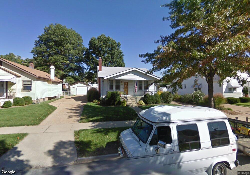
6925 Oleatha Ave Saint Louis, MO 63139
Lindenwood Park NeighborhoodEstimated Value: $294,000 - $408,000
--
Bed
1
Bath
2,212
Sq Ft
$160/Sq Ft
Est. Value
About This Home
This home is located at 6925 Oleatha Ave, Saint Louis, MO 63139 and is currently estimated at $353,981, approximately $160 per square foot. 6925 Oleatha Ave is a home located in St. Louis City with nearby schools including Mason Elementary School, Long International Middle School, and Roosevelt High School.
Ownership History
Date
Name
Owned For
Owner Type
Purchase Details
Closed on
Feb 24, 2012
Sold by
Sldc Redevelopment Corporation
Bought by
Spihlman Craig A and Spihlman Angela M
Current Estimated Value
Purchase Details
Closed on
Nov 22, 2011
Sold by
Spihlman Craig A and Spihlman Angela M
Bought by
Spihlman Craig A and Spihlman Angels M
Home Financials for this Owner
Home Financials are based on the most recent Mortgage that was taken out on this home.
Original Mortgage
$195,000
Interest Rate
4.13%
Mortgage Type
New Conventional
Create a Home Valuation Report for This Property
The Home Valuation Report is an in-depth analysis detailing your home's value as well as a comparison with similar homes in the area
Home Values in the Area
Average Home Value in this Area
Purchase History
| Date | Buyer | Sale Price | Title Company |
|---|---|---|---|
| Spihlman Craig A | -- | None Available | |
| Sldc Redevelopment Corporation | -- | None Available | |
| Spihlman Craig A | -- | Integrity Land Title Co Inc |
Source: Public Records
Mortgage History
| Date | Status | Borrower | Loan Amount |
|---|---|---|---|
| Previous Owner | Spihlman Craig A | $195,000 |
Source: Public Records
Tax History Compared to Growth
Tax History
| Year | Tax Paid | Tax Assessment Tax Assessment Total Assessment is a certain percentage of the fair market value that is determined by local assessors to be the total taxable value of land and additions on the property. | Land | Improvement |
|---|---|---|---|---|
| 2025 | $4,032 | $56,830 | $2,850 | $53,980 |
| 2024 | $3,835 | $47,830 | $2,850 | $44,980 |
| 2023 | $3,835 | $47,830 | $2,850 | $44,980 |
| 2022 | $3,644 | $43,740 | $2,850 | $40,890 |
| 2021 | $3,638 | $43,740 | $2,850 | $40,890 |
| 2020 | $3,279 | $39,690 | $2,850 | $36,840 |
| 2019 | $3,267 | $39,690 | $2,850 | $36,840 |
| 2018 | $4,053 | $33,100 | $2,620 | $30,480 |
| 2017 | $3,984 | $47,800 | $2,620 | $45,180 |
| 2016 | $0 | $18,810 | $3,570 | $15,240 |
Source: Public Records
Map
Nearby Homes
- 6811 Marquette Ave
- 7038 Pernod Ave
- 6656 Oleatha Ave
- 6953 Arthur Ave
- 7047 Tholozan Ave
- 6659 Tholozan Ave
- 3558 Wabash Ave
- 3308 Jamieson Ave
- 6631 Pernod Ave
- 3815 Mccausland Ave Unit 4
- 6611 Pernod Ave
- 6621 Tholozan Ave
- 6653 Hancock Ave
- 6625 Hancock Ave
- 6973 Winona Ave
- 7081 Winona Ave
- 6541 Lindenwood Place
- 3316 Commonwealth Ave
- 7114 Drury Ln
- 6517 Tholozan Ave
- 6919 Oleatha Ave
- 6915 Oleatha Ave
- 6931 Oleatha Ave
- 6909 Oleatha Ave
- 6909 Oleatha Ave Unit A & B
- 6935 Oleatha Ave
- 6918 Oleatha Ave
- 6914 Oleatha Ave
- 6924 Oleatha Ave
- 6910 Oleatha Ave
- 6928 Oleatha Ave
- 6908 Oleatha Ave
- 6941 Oleatha Ave
- 6934 Oleatha Ave
- 6922 Marquette Ave
- 6926 Marquette Ave
- 6918 Marquette Ave
- 6928 Marquette Ave
- 6912 Marquette Ave
- 6932 Marquette Ave