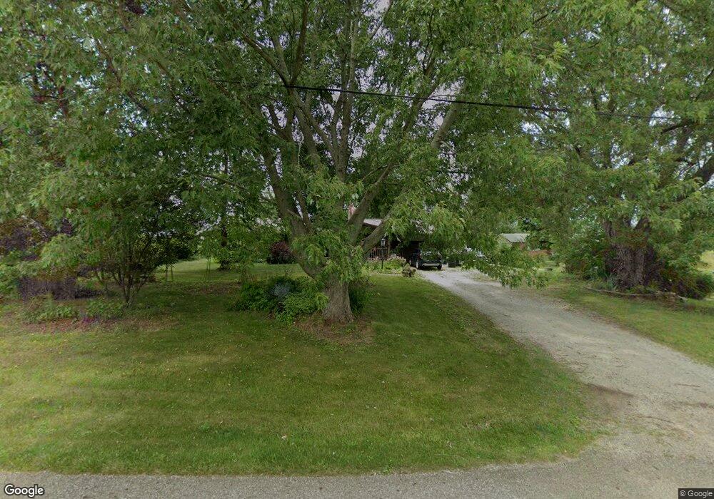
6925 Parks Ave NE Alliance, OH 44601
Estimated Value: $158,161 - $191,000
3
Beds
1
Bath
1,092
Sq Ft
$163/Sq Ft
Est. Value
About This Home
This home is located at 6925 Parks Ave NE, Alliance, OH 44601 and is currently estimated at $178,540, approximately $163 per square foot. 6925 Parks Ave NE is a home located in Stark County with nearby schools including Louisville High School.
Ownership History
Date
Name
Owned For
Owner Type
Purchase Details
Closed on
Feb 18, 1997
Sold by
Kibler John E
Bought by
Mcintyre Jeffrey G and Mcintyre Mary
Current Estimated Value
Home Financials for this Owner
Home Financials are based on the most recent Mortgage that was taken out on this home.
Original Mortgage
$73,000
Outstanding Balance
$8,387
Interest Rate
7.74%
Mortgage Type
New Conventional
Estimated Equity
$170,153
Purchase Details
Closed on
Apr 27, 1994
Create a Home Valuation Report for This Property
The Home Valuation Report is an in-depth analysis detailing your home's value as well as a comparison with similar homes in the area
Home Values in the Area
Average Home Value in this Area
Purchase History
| Date | Buyer | Sale Price | Title Company |
|---|---|---|---|
| Mcintyre Jeffrey G | $65,000 | -- | |
| -- | -- | -- |
Source: Public Records
Mortgage History
| Date | Status | Borrower | Loan Amount |
|---|---|---|---|
| Open | Mcintyre Jeffrey G | $73,000 |
Source: Public Records
Tax History Compared to Growth
Tax History
| Year | Tax Paid | Tax Assessment Tax Assessment Total Assessment is a certain percentage of the fair market value that is determined by local assessors to be the total taxable value of land and additions on the property. | Land | Improvement |
|---|---|---|---|---|
| 2025 | -- | $44,980 | $17,570 | $27,410 |
| 2024 | -- | $44,980 | $17,570 | $27,410 |
| 2023 | $2,030 | $41,690 | $12,810 | $28,880 |
| 2022 | $2,026 | $41,480 | $12,810 | $28,670 |
| 2021 | $2,031 | $41,480 | $12,810 | $28,670 |
| 2020 | $1,650 | $35,600 | $10,990 | $24,610 |
| 2019 | $1,657 | $35,620 | $10,990 | $24,630 |
| 2018 | $1,653 | $35,620 | $10,990 | $24,630 |
| 2017 | $1,531 | $31,480 | $10,360 | $21,120 |
| 2016 | $1,585 | $33,340 | $12,220 | $21,120 |
| 2015 | $1,505 | $31,590 | $12,220 | $19,370 |
| 2014 | $1,498 | $29,100 | $11,240 | $17,860 |
| 2013 | $753 | $29,100 | $11,240 | $17,860 |
Source: Public Records
Map
Nearby Homes
- 6109 Oakhill Ave NE
- 5990 Meese Rd NE
- 12222 Cenfield St NE
- 5765 Maplegrove St
- 0 Valewood Cir Unit 5006281
- 6052 N Nickelplate St
- 5495 Meese Rd NE
- 2435 Queensbury Rd
- 2851 Patriots Path Unit 3D
- 0 Easton St NE
- 0 Moulin Ave NE
- 2377 Ansley St Unit 2377
- 0 Reeder Ave NE
- 13881 Salem Church St NE
- 5869 Beechwood Ave
- 7844 Morningstar Dr
- 2015 E Main St
- 0 Winchester St
- 0 Winchester St Unit 5162877
- 2081 Marwood Cir
- 6945 Parks Ave NE
- 6897 Parks Ave NE
- 0 Parks Ave NE Unit 1519197
- 0 Parks Ave NE Unit 3044738
- 0 Parks Ave NE Unit 4398037
- 0 Parks Ave NE Unit 4345352
- 0 Parks Ave NE Unit 4297979
- 0 Parks Ave NE
- 6894 Parks Ave NE
- 6988 Parks Ave NE
- 11135 Easton St NE
- 11104 Easton St NE
- 7001 Parks Ave NE
- 10981 Easton St NE
- 11183 Easton St NE
- 10875 Easton St NE
- 10960 Easton St NE
- 7051 Parks Ave NE
- 6701 Parks Ave NE
- 10805 Easton St NE