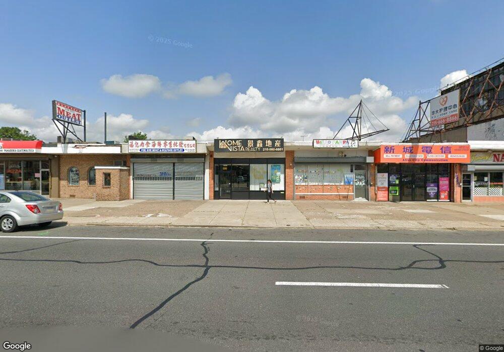
6926 Bustleton Ave Philadelphia, PA 19149
Castor Gardens NeighborhoodEstimated Value: $363,000 - $432,447
--
Bed
--
Bath
1,300
Sq Ft
$306/Sq Ft
Est. Value
About This Home
This home is located at 6926 Bustleton Ave, Philadelphia, PA 19149 and is currently estimated at $397,724, approximately $305 per square foot. 6926 Bustleton Ave is a home located in Philadelphia County with nearby schools including Solomon Solis-Cohen School, Castor Gardens Middle School, and Northeast High School.
Ownership History
Date
Name
Owned For
Owner Type
Purchase Details
Closed on
Mar 21, 2022
Sold by
Sheung Lam Man
Bought by
Lam Man Sheung
Current Estimated Value
Purchase Details
Closed on
Jan 15, 2018
Sold by
Kan Li J and Kan Ying Hua
Bought by
Lam Man Sheung
Purchase Details
Closed on
Aug 29, 2005
Sold by
Ehrlich Jacob and Ehrlich Marion
Bought by
Li J Dar and Kan Ying Hua
Home Financials for this Owner
Home Financials are based on the most recent Mortgage that was taken out on this home.
Original Mortgage
$126,000
Interest Rate
5.84%
Mortgage Type
Commercial
Create a Home Valuation Report for This Property
The Home Valuation Report is an in-depth analysis detailing your home's value as well as a comparison with similar homes in the area
Home Values in the Area
Average Home Value in this Area
Purchase History
| Date | Buyer | Sale Price | Title Company |
|---|---|---|---|
| Lam Man Sheung | -- | Nova Abstract | |
| Lam Man Sheung | $220,000 | Advantage Abstract Inc | |
| Li J Dar | $179,900 | Abstract Professionals Ltd |
Source: Public Records
Mortgage History
| Date | Status | Borrower | Loan Amount |
|---|---|---|---|
| Previous Owner | Li J Dar | $126,000 |
Source: Public Records
Tax History Compared to Growth
Tax History
| Year | Tax Paid | Tax Assessment Tax Assessment Total Assessment is a certain percentage of the fair market value that is determined by local assessors to be the total taxable value of land and additions on the property. | Land | Improvement |
|---|---|---|---|---|
| 2025 | $3,019 | $285,700 | $57,140 | $228,560 |
| 2024 | $3,019 | $285,700 | $57,140 | $228,560 |
| 2023 | $3,019 | $215,700 | $43,141 | $172,559 |
| 2022 | $2,763 | $215,700 | $43,141 | $172,559 |
| 2021 | $2,763 | $0 | $0 | $0 |
| 2020 | $2,763 | $0 | $0 | $0 |
| 2019 | $2,744 | $0 | $0 | $0 |
| 2018 | $3,374 | $0 | $0 | $0 |
| 2017 | $2,275 | $0 | $0 | $0 |
| 2016 | $2,275 | $0 | $0 | $0 |
| 2015 | -- | $0 | $0 | $0 |
| 2014 | -- | $162,500 | $28,100 | $134,400 |
| 2012 | -- | $33,280 | $4,943 | $28,337 |
Source: Public Records
Map
Nearby Homes
- 2011 Longshore Ave
- 2110 Longshore Ave
- 6900 Eastwood St
- 2119 Glenview St
- 2171 Disston St
- 2140 Princeton Ave
- 2162 Princeton Ave
- 2206 Princeton Ave
- 2169 Knorr St
- 2105 Friendship St
- 6826 Sylvester St
- 7153 Saul St
- 7028 Horrocks St
- 7155 Saul St
- 2248 Disston St
- 6725 Eastwood St
- 6736 Leonard St
- 2257 Disston St
- 7034 Souder St
- 2241 Knorr St
- 6924 Bustleton Ave
- 6928 Bustleton Ave
- 6930 Bustleton Ave
- 6922 Bustleton Ave
- 6920 Bustleton Ave
- 2040 Tyson Ave
- 6918 Bustleton Ave
- 2041 Disston St
- 2038 Tyson Ave
- 2039 Disston St
- 2036 Tyson Ave
- 2037 Disston St
- 2034 Tyson Ave
- 2035 Disston St
- 2032 Tyson Ave
- 2033 Disston St
- 2030 Tyson Ave
- 2031 Disston St
- 6902 Bustleton Ave
- 2028 Tyson Ave