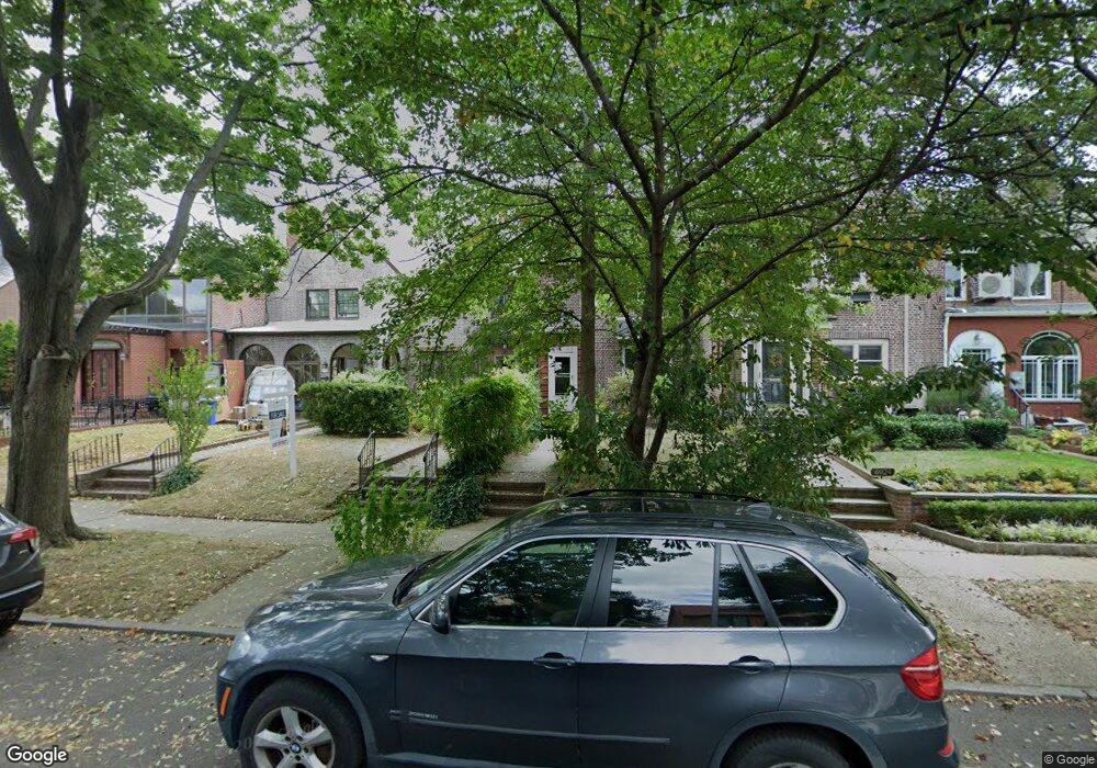
6926 Fleet St Forest Hills, NY 11375
Forest Hills NeighborhoodEstimated Value: $1,386,000 - $1,643,000
--
Bed
--
Bath
1,820
Sq Ft
$810/Sq Ft
Est. Value
About This Home
This home is located at 6926 Fleet St, Forest Hills, NY 11375 and is currently estimated at $1,474,445, approximately $810 per square foot. 6926 Fleet St is a home located in Queens County with nearby schools including Ps 144 Col Jeromus Remsen, J.H.S. 190 Russell Sage, and Queens Metropolitan High School.
Ownership History
Date
Name
Owned For
Owner Type
Purchase Details
Closed on
Dec 3, 2007
Sold by
Diaz Herminio
Bought by
Sinchi Wilson
Current Estimated Value
Purchase Details
Closed on
Jun 24, 2003
Sold by
Geller Daryl N
Bought by
Geller Daryl N and Geller Fujie S
Purchase Details
Closed on
Aug 24, 1999
Sold by
Geller Daryl N and Geller Fujie S
Bought by
Geller Daryl N
Create a Home Valuation Report for This Property
The Home Valuation Report is an in-depth analysis detailing your home's value as well as a comparison with similar homes in the area
Home Values in the Area
Average Home Value in this Area
Purchase History
| Date | Buyer | Sale Price | Title Company |
|---|---|---|---|
| Sinchi Wilson | $250,000 | -- | |
| Sinchi Wilson | $250,000 | -- | |
| Geller Daryl N | -- | -- | |
| Geller Daryl N | -- | -- | |
| Geller Daryl N | -- | -- | |
| Geller Daryl N | -- | -- |
Source: Public Records
Tax History Compared to Growth
Tax History
| Year | Tax Paid | Tax Assessment Tax Assessment Total Assessment is a certain percentage of the fair market value that is determined by local assessors to be the total taxable value of land and additions on the property. | Land | Improvement |
|---|---|---|---|---|
| 2025 | $11,501 | $58,913 | $10,022 | $48,891 |
| 2024 | $11,501 | $57,264 | $9,150 | $48,114 |
| 2023 | $11,018 | $54,254 | $8,639 | $45,615 |
| 2022 | $10,315 | $93,360 | $16,260 | $77,100 |
| 2021 | $10,332 | $85,020 | $16,260 | $68,760 |
| 2020 | $8,108 | $73,140 | $16,260 | $56,880 |
| 2019 | $7,578 | $72,780 | $16,260 | $56,520 |
| 2018 | $9,216 | $45,212 | $9,857 | $35,355 |
| 2017 | $8,778 | $43,060 | $9,889 | $33,171 |
| 2016 | $8,179 | $43,060 | $9,889 | $33,171 |
| 2015 | $4,509 | $40,912 | $10,946 | $29,966 |
| 2014 | $4,509 | $38,517 | $10,540 | $27,977 |
Source: Public Records
Map
Nearby Homes
- 69-36 Dartmouth St
- 83 Dartmouth St
- 6836 Groton St
- 68-11 Dartmouth St
- 68-48 Juno St Unit Whole Building
- 134 71st Ave
- 70-50 Ingram St
- 1-34 71st Ave
- 68-30 Burns St Unit 3D
- 67-118 Dartmouth St
- 70-47 Juno St
- 68-37 Kessel St
- 68-20 Burns St Unit E1
- 68-20 Burns St Unit B2
- 4 Dartmouth St Unit 410
- 4 Dartmouth St Unit 24
- 68-12 Burns St Unit D4
- 165 Slocum Crescent
- 6 Burns St Unit 220
- 6915 Loubet St
- 6924 Fleet St
- 6928 Fleet St
- 6922 Fleet St
- 6930 Fleet St
- 6930 Fleet St
- 69-22 Fleet St Unit House
- 69-22 Fleet St
- 6920 Fleet St
- 6932 Fleet St
- 6916 Fleet St
- 6925 Groton St
- 6936 Fleet St
- 69-36 Fleet St
- 69-36 Fleet St Unit House
- 6923 Groton St
- 6929 Groton St
- 6919 Groton St
- 69-33 Groton St
- 6938 Fleet St
- 6933 Groton St