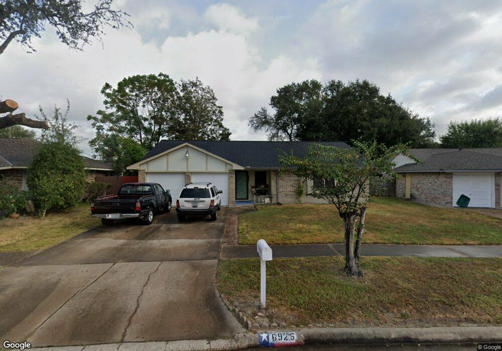
6926 Sandswept Ln Houston, TX 77086
North Houston NeighborhoodEstimated Value: $199,000 - $220,000
3
Beds
2
Baths
1,248
Sq Ft
$166/Sq Ft
Est. Value
About This Home
This home is located at 6926 Sandswept Ln, Houston, TX 77086 and is currently estimated at $206,764, approximately $165 per square foot. 6926 Sandswept Ln is a home located in Harris County with nearby schools including Kujawa EC/Pre-K/K School, Carmichael Elementary School, and Shotwell Middle School.
Ownership History
Date
Name
Owned For
Owner Type
Purchase Details
Closed on
May 16, 1997
Sold by
Taylor Robert D and Taylor Willyne A
Bought by
Escobar Julio and Rodriguez Escobar Ana Esther
Current Estimated Value
Home Financials for this Owner
Home Financials are based on the most recent Mortgage that was taken out on this home.
Original Mortgage
$56,525
Outstanding Balance
$7,822
Interest Rate
8.12%
Estimated Equity
$198,942
Create a Home Valuation Report for This Property
The Home Valuation Report is an in-depth analysis detailing your home's value as well as a comparison with similar homes in the area
Home Values in the Area
Average Home Value in this Area
Purchase History
| Date | Buyer | Sale Price | Title Company |
|---|---|---|---|
| Escobar Julio | -- | Stewart Title |
Source: Public Records
Mortgage History
| Date | Status | Borrower | Loan Amount |
|---|---|---|---|
| Open | Escobar Julio | $56,525 |
Source: Public Records
Tax History Compared to Growth
Tax History
| Year | Tax Paid | Tax Assessment Tax Assessment Total Assessment is a certain percentage of the fair market value that is determined by local assessors to be the total taxable value of land and additions on the property. | Land | Improvement |
|---|---|---|---|---|
| 2025 | $745 | $190,487 | $39,892 | $150,595 |
| 2024 | $745 | $190,487 | $39,892 | $150,595 |
| 2023 | $745 | $196,768 | $39,892 | $156,876 |
| 2022 | $3,317 | $165,820 | $33,807 | $132,013 |
| 2021 | $3,008 | $137,277 | $33,807 | $103,470 |
| 2020 | $3,040 | $130,393 | $33,807 | $96,586 |
| 2019 | $2,874 | $123,785 | $17,227 | $106,558 |
| 2018 | $520 | $117,439 | $17,227 | $100,212 |
| 2017 | $2,290 | $108,396 | $15,469 | $92,927 |
| 2016 | $2,082 | $98,527 | $15,469 | $83,058 |
| 2015 | $656 | $93,150 | $15,469 | $77,681 |
| 2014 | $656 | $70,919 | $15,469 | $55,450 |
Source: Public Records
Map
Nearby Homes
- 7002 Sandswept Ln
- 7023 Sandswept Ln
- 6722 Winding Trace Dr
- 6911 Silver Star Dr
- 6654 Brownie Campbell Rd
- 7218 Winding Trace Dr
- 6630 Brownie Campbell Rd
- 11007 Tobasa Ct
- 10307 Bammel North Houston Rd
- 6615 Winding Trace Dr
- 10614 Mackenzie Dr
- 11006 Crinkleawn Dr
- 7222 Northleaf Dr
- 6822 Dusty Dawn Dr
- 10711 Heather Hill Dr
- 6610 Northleaf Dr
- 10522 Northview Dr
- 7227 Greenyard Dr
- 11009 Panicum Ct
- 11021 Crenchrus Ct
- 6930 Sandswept Ln
- 6922 Sandswept Ln
- 6923 Feather Creek Dr
- 6915 Feather Creek Dr
- 6927 Feather Creek Dr
- 6934 Sandswept Ln
- 6918 Sandswept Ln
- 6911 Feather Creek Dr
- 6907 Feather Creek Dr
- 6931 Feather Creek Dr
- 6923 Sandswept Ln
- 6931 Sandswept Ln
- 6914 Sandswept Ln
- 6935 Sandswept Ln
- 6903 Feather Creek Dr
- 6915 Sandswept Ln
- 6910 Sandswept Ln
- 6827 Feather Creek Dr
- 6911 Sandswept Ln
- 6922 Feather Creek Dr