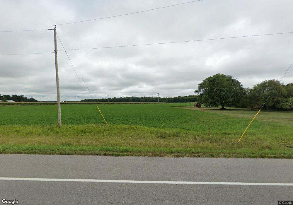
6929 O Day Rd Fort Wayne, IN 46818
Estimated Value: $203,000 - $483,322
3
Beds
3
Baths
1,799
Sq Ft
$202/Sq Ft
Est. Value
About This Home
This home is located at 6929 O Day Rd, Fort Wayne, IN 46818 and is currently estimated at $363,107, approximately $201 per square foot. 6929 O Day Rd is a home located in Allen County with nearby schools including Arcola Elementary School, Carroll Middle School, and Carroll High School.
Ownership History
Date
Name
Owned For
Owner Type
Purchase Details
Closed on
Dec 30, 2024
Sold by
C & V Fick Llc
Bought by
Fick Paul E and Fick Amber
Current Estimated Value
Home Financials for this Owner
Home Financials are based on the most recent Mortgage that was taken out on this home.
Original Mortgage
$50,000
Outstanding Balance
$49,655
Interest Rate
6.84%
Mortgage Type
New Conventional
Estimated Equity
$313,452
Purchase Details
Closed on
Sep 12, 2024
Sold by
Virginia Fick Revocable Trust and Hibben Marsha
Bought by
C & V Fick Llc
Purchase Details
Closed on
Sep 16, 2020
Sold by
Fick Virginia M
Bought by
Virginia Fick Revocable Trust and Fick Norman
Purchase Details
Closed on
Oct 22, 2018
Sold by
Fick Carl and Fick Virginia
Bought by
The Board Of Commissioners Of The County
Create a Home Valuation Report for This Property
The Home Valuation Report is an in-depth analysis detailing your home's value as well as a comparison with similar homes in the area
Home Values in the Area
Average Home Value in this Area
Purchase History
| Date | Buyer | Sale Price | Title Company |
|---|---|---|---|
| Fick Paul E | -- | None Listed On Document | |
| C & V Fick Llc | -- | None Listed On Document | |
| Virginia Fick Revocable Trust | -- | Shambaugh Kast Beck & Williams | |
| The Board Of Commissioners Of The County | $3,200 | None Available |
Source: Public Records
Mortgage History
| Date | Status | Borrower | Loan Amount |
|---|---|---|---|
| Open | Fick Paul E | $50,000 |
Source: Public Records
Tax History Compared to Growth
Tax History
| Year | Tax Paid | Tax Assessment Tax Assessment Total Assessment is a certain percentage of the fair market value that is determined by local assessors to be the total taxable value of land and additions on the property. | Land | Improvement |
|---|---|---|---|---|
| 2024 | $2,436 | $347,800 | $52,400 | $295,400 |
| 2023 | $2,428 | $300,600 | $50,300 | $250,300 |
| 2022 | $2,212 | $291,900 | $38,200 | $253,700 |
| 2021 | $1,901 | $235,000 | $37,000 | $198,000 |
| 2020 | $1,921 | $230,100 | $37,000 | $193,100 |
| 2019 | $1,984 | $229,200 | $38,500 | $190,700 |
| 2018 | $1,686 | $197,900 | $39,000 | $158,900 |
| 2017 | $1,624 | $182,600 | $40,300 | $142,300 |
| 2016 | $1,369 | $174,400 | $41,000 | $133,400 |
| 2014 | $1,434 | $170,700 | $41,500 | $129,200 |
| 2013 | $1,405 | $163,300 | $39,800 | $123,500 |
Source: Public Records
Map
Nearby Homes
- 1043 Arthur Heights Dr
- 979 Arthur Heights Dr
- 0000 W Cook Rd
- 13209 Arusha Ct
- 840 Zenos Blvd
- 1155 Lagonda Trail
- 13257 Arusha Ct
- 13952 Ascari Cove Unit 135
- 847 Lagonda Trail Unit 42
- 1167 Lagonda Trail Unit 32
- 1179 Lagonda Trail Unit 31
- 2929 Troutwood Dr
- 2941 Troutwood Dr
- 6011 W Wallen Rd
- 7331 Fritz Rd
- 5412 W Cook Rd
- 6417 Merlin Dr
- 5725 Kroemer Rd
- 5036 Broadmore Ct Unit 426
- 5014 Turbo Trail Unit 443
- 8109 W Cook Rd
- 7629 W Cook Rd
- 6619 O Day Rd
- 7616 W Cook Rd
- 1379 Arthur Heights Dr
- 1122 Arthur Heights Dr
- 1412 Arthur Heights Dr
- 1325 Arthur Heights Dr
- 1241 Arthur Heights Dr
- 1171 Arthur Heights Dr
- 1149 Arthur Heights Dr
- 1115 Arthur Heights Dr
- 910 Arthur Heights Dr
- 988 Arthur Heights Dr
- 1176 Arthur Heights Dr
- 1208 Arthur Heights Dr
- 1310 Arthur Heights Dr
- 1368 Arthur Heights Dr
- 1446 Arthur Heights Dr
- 8502 W Cook Rd
