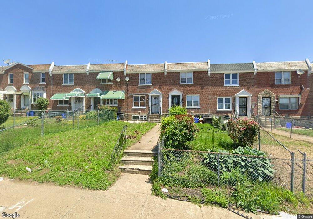
6929 Stenton Ave Philadelphia, PA 19138
West Oak Lane NeighborhoodEstimated Value: $181,000 - $198,000
3
Beds
1
Bath
992
Sq Ft
$189/Sq Ft
Est. Value
About This Home
This home is located at 6929 Stenton Ave, Philadelphia, PA 19138 and is currently estimated at $187,424, approximately $188 per square foot. 6929 Stenton Ave is a home located in Philadelphia County with nearby schools including Anna B. Day School, Martin Luther King High School, and West Oak Lane Charter School.
Ownership History
Date
Name
Owned For
Owner Type
Purchase Details
Closed on
Mar 21, 2023
Sold by
Womack Daisy L
Bought by
Womack Clifford Randolph
Current Estimated Value
Purchase Details
Closed on
Dec 9, 2019
Sold by
Graham Tommie Lee and Womack Daisy L
Bought by
Womack Daisy L
Purchase Details
Closed on
Jul 10, 2006
Sold by
Graham Tommie Lee and Womack Daisy L
Bought by
Graham Tommie Lee and Womack Daisy L
Create a Home Valuation Report for This Property
The Home Valuation Report is an in-depth analysis detailing your home's value as well as a comparison with similar homes in the area
Home Values in the Area
Average Home Value in this Area
Purchase History
| Date | Buyer | Sale Price | Title Company |
|---|---|---|---|
| Womack Clifford Randolph | -- | -- | |
| Womack Daisy L | -- | None Available | |
| Graham Tommie Lee | -- | None Available |
Source: Public Records
Tax History Compared to Growth
Tax History
| Year | Tax Paid | Tax Assessment Tax Assessment Total Assessment is a certain percentage of the fair market value that is determined by local assessors to be the total taxable value of land and additions on the property. | Land | Improvement |
|---|---|---|---|---|
| 2025 | $2,024 | $173,800 | $34,760 | $139,040 |
| 2024 | $2,024 | $173,800 | $34,760 | $139,040 |
| 2023 | $2,024 | $144,600 | $28,920 | $115,680 |
| 2022 | $2,024 | $144,600 | $28,920 | $115,680 |
| 2021 | $1,424 | $0 | $0 | $0 |
| 2020 | $1,424 | $0 | $0 | $0 |
| 2019 | $1,487 | $0 | $0 | $0 |
| 2018 | $1,475 | $0 | $0 | $0 |
| 2017 | $1,475 | $0 | $0 | $0 |
| 2016 | $1,475 | $0 | $0 | $0 |
| 2015 | $1,412 | $0 | $0 | $0 |
| 2014 | -- | $105,400 | $13,089 | $92,311 |
| 2012 | -- | $13,568 | $2,801 | $10,767 |
Source: Public Records
Map
Nearby Homes
- 6620 Cornelius St
- 6661 Cornelius St
- 6332 E Wister St
- 6635 Hollis St
- 1344 Narragansett St
- 1505 Beverly Rd
- 1521 E Walnut Ln
- 5843 Crittenden St
- 5839 Crittenden St
- 2152 Stenton Ave
- 5831 Crittenden St
- 6824 Rodney St
- 5829 Crittenden St
- 5827 Crittenden St
- 5852 Crittenden St
- 1537 Beverly Rd
- 1544 Beverly Rd
- 6531 N Beechwood St
- 2125 Stenton Ave
- 2120 66th Ave
- 6927 Stenton Ave
- 6931 Stenton Ave
- 6925 Stenton Ave
- 6933 Stenton Ave
- 6923 Stenton Ave
- 6935 Stenton Ave
- 6367 Stenton Ave
- 6921 Stenton Ave
- 6919 Stenton Ave
- 6939 Stenton Ave
- 6917 Stenton Ave
- 6941 Stenton Ave
- 6630 Cornelius St
- 6632 Cornelius St
- 6628 Cornelius St
- 6626 Cornelius St
- 6634 Cornelius St
- 6943 Stenton Ave
- 6636 Cornelius St
- 6624 Cornelius St