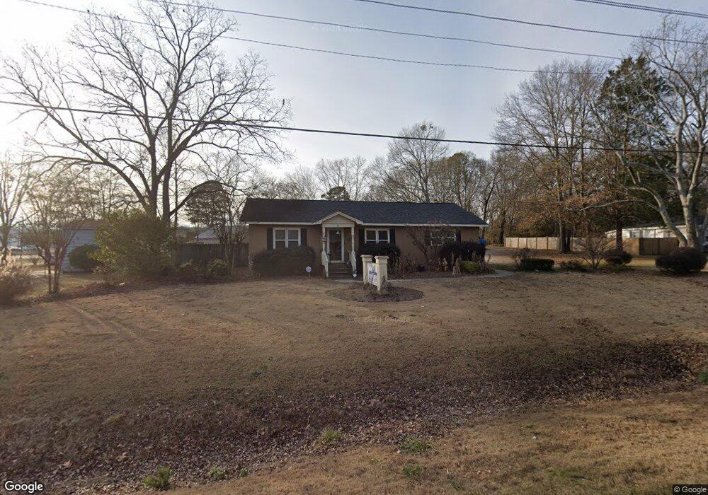
693 Christmas Ave Bethlehem, GA 30620
Estimated Value: $181,000 - $257,000
3
Beds
2
Baths
1,248
Sq Ft
$181/Sq Ft
Est. Value
About This Home
This home is located at 693 Christmas Ave, Bethlehem, GA 30620 and is currently estimated at $226,364, approximately $181 per square foot. 693 Christmas Ave is a home located in Barrow County with nearby schools including Bethlehem Elementary School, Haymon-Morris Middle School, and Apalachee High School.
Ownership History
Date
Name
Owned For
Owner Type
Purchase Details
Closed on
Mar 31, 2015
Sold by
Hensley Troy A
Bought by
Tnb Llc
Current Estimated Value
Purchase Details
Closed on
Mar 29, 2013
Sold by
Tnb Llc
Bought by
Hensley Troy A and Hensley Burgundy Renee
Home Financials for this Owner
Home Financials are based on the most recent Mortgage that was taken out on this home.
Original Mortgage
$87,000
Interest Rate
3.59%
Mortgage Type
New Conventional
Create a Home Valuation Report for This Property
The Home Valuation Report is an in-depth analysis detailing your home's value as well as a comparison with similar homes in the area
Home Values in the Area
Average Home Value in this Area
Purchase History
| Date | Buyer | Sale Price | Title Company |
|---|---|---|---|
| Tnb Llc | -- | -- | |
| Hensley Troy A | -- | -- |
Source: Public Records
Mortgage History
| Date | Status | Borrower | Loan Amount |
|---|---|---|---|
| Previous Owner | Hensley Troy A | $87,000 |
Source: Public Records
Tax History
| Year | Tax Paid | Tax Assessment Tax Assessment Total Assessment is a certain percentage of the fair market value that is determined by local assessors to be the total taxable value of land and additions on the property. | Land | Improvement |
|---|---|---|---|---|
| 2025 | $1,126 | $44,558 | $18,000 | $26,558 |
| 2024 | $1,148 | $44,558 | $18,000 | $26,558 |
| 2023 | $1,318 | $44,558 | $18,000 | $26,558 |
| 2022 | $780 | $26,381 | $10,000 | $16,381 |
| 2021 | $836 | $26,381 | $10,000 | $16,381 |
| 2020 | $841 | $26,381 | $10,000 | $16,381 |
| 2019 | $738 | $22,824 | $7,200 | $15,624 |
| 2018 | $736 | $22,824 | $7,200 | $15,624 |
| 2017 | $602 | $20,688 | $7,200 | $13,488 |
| 2016 | $669 | $20,688 | $7,200 | $13,488 |
| 2015 | $569 | $20,688 | $7,200 | $13,488 |
| 2014 | $533 | $17,016 | $3,528 | $13,488 |
| 2013 | -- | $16,365 | $3,528 | $12,837 |
Source: Public Records
Map
Nearby Homes
- 724 Manger Ave
- 14 Rowlett Place
- 54 Rowlett Place
- 13 Rowlett Place
- 0 Manger Ave E Unit 20154677
- 0 Manger Ave E Unit 20127001
- 784 Manger Ave
- 812 Christmas Ave
- 449 & 455 Carl-Bethlehem Rd
- 0 Monroe Hwy Unit 7530054
- 0 Monroe Hwy Unit 10466108
- 898 Harrison Mill Rd
- 1050 Bethlehem Church Rd
- 220 Carl Bethlehem Rd SW
- 328 Advent Dr
- 203 Nativity Cove
- 203 Nativity Cove Unit LOT 27
- 755 Harry McCarty Rd
- 0 Carson Wages Rd Unit 7617509
- 0 Carson Wages Rd Unit 10348307
- 697 Christmas Ave
- 687 Christmas Ave
- 15 Manger Ave
- 21 Manger Ave
- 29 Manger Ave
- 27 Manger Ave
- 700 Christmas Ave
- 690 Christmas Ave
- 681 Christmas Ave
- 31 Manger Ave
- 706 Christmas Ave
- 35 Manger Ave
- 49 Manger Ave
- 49 Manger Ave Unit N
- 737 Christmas Ave
- 741 Christmas Ave
- 665 Christmas Ave
- 55 Manger Ave
- 657 Thorn Brook Ridge
- 659 Thorn Brook Ridge
Your Personal Tour Guide
Ask me questions while you tour the home.