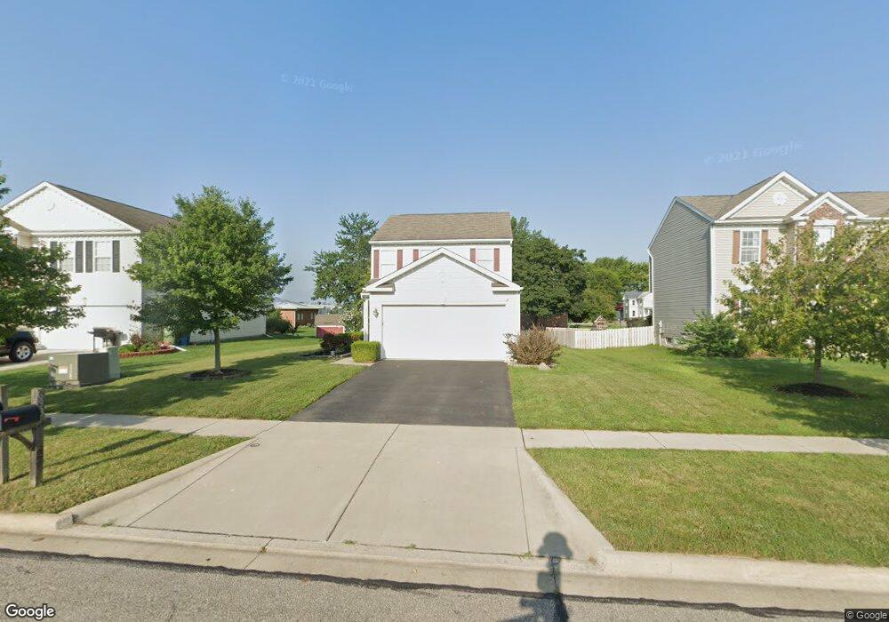
693 Corbel Dr Marysville, OH 43040
Estimated Value: $285,000 - $371,000
3
Beds
2
Baths
1,392
Sq Ft
$232/Sq Ft
Est. Value
About This Home
This home is located at 693 Corbel Dr, Marysville, OH 43040 and is currently estimated at $322,276, approximately $231 per square foot. 693 Corbel Dr is a home located in Union County with nearby schools including Northwood Elementary School, Creekview Intermediate Elementary School, and Bunsold Middle School.
Ownership History
Date
Name
Owned For
Owner Type
Purchase Details
Closed on
Apr 19, 2018
Sold by
Barnett James M
Bought by
Pnc Bank Na
Current Estimated Value
Purchase Details
Closed on
Nov 3, 2009
Sold by
Maronda Homes Inc Of Ohio
Bought by
Barnett Jason M
Home Financials for this Owner
Home Financials are based on the most recent Mortgage that was taken out on this home.
Original Mortgage
$129,923
Interest Rate
5.05%
Mortgage Type
New Conventional
Create a Home Valuation Report for This Property
The Home Valuation Report is an in-depth analysis detailing your home's value as well as a comparison with similar homes in the area
Home Values in the Area
Average Home Value in this Area
Purchase History
| Date | Buyer | Sale Price | Title Company |
|---|---|---|---|
| Pnc Bank Na | -- | None Available | |
| Barnett Jason M | $127,400 | Stewart Title Agency |
Source: Public Records
Mortgage History
| Date | Status | Borrower | Loan Amount |
|---|---|---|---|
| Previous Owner | Barnett Jason M | $129,923 |
Source: Public Records
Tax History Compared to Growth
Tax History
| Year | Tax Paid | Tax Assessment Tax Assessment Total Assessment is a certain percentage of the fair market value that is determined by local assessors to be the total taxable value of land and additions on the property. | Land | Improvement |
|---|---|---|---|---|
| 2024 | $0 | $64,630 | $10,070 | $54,560 |
| 2023 | $0 | $64,630 | $10,070 | $54,560 |
| 2022 | $0 | $64,630 | $10,070 | $54,560 |
| 2021 | $0 | $49,550 | $7,580 | $41,970 |
| 2020 | $0 | $49,550 | $7,580 | $41,970 |
| 2019 | $0 | $49,550 | $7,580 | $41,970 |
| 2018 | $0 | $40,940 | $5,920 | $35,020 |
| 2017 | $0 | $40,940 | $5,920 | $35,020 |
| 2016 | -- | $40,940 | $5,920 | $35,020 |
| 2015 | -- | $42,040 | $5,920 | $36,120 |
| 2014 | -- | $42,040 | $5,920 | $36,120 |
| 2013 | -- | $42,040 | $5,920 | $36,120 |
Source: Public Records
Map
Nearby Homes
- 569 E 10th St Unit 1A
- 448 Professional Pkwy
- 627 E 6th St
- 226 S Plum St
- 125 S Oak St
- 0 Columbus Ave
- Wesley Plan at Adena Pointe - Maple Street Collection
- Jensen Plan at Adena Pointe - Maple Street Collection
- Fairfax Plan at Adena Pointe - Maple Street Collection
- Breckenridge Plan at Adena Pointe - Maple Street Collection
- Denali Plan at Adena Pointe - Maple Street Collection
- Greenbriar Plan at Adena Pointe - Maple Street Collection
- DaVinci Plan at Adena Pointe - Maple Street Collection
- Cumberland Plan at Adena Pointe - Maple Street Collection
- Yosemite Plan at Adena Pointe - Maple Street Collection
- Beacon Plan at Adena Pointe - Maple Street Collection
- 1055 Greenfield Dr
- 1180 Miami Dr
- 1145 Coventry Way Unit D
- 651 Millcrest Dr Unit 651A