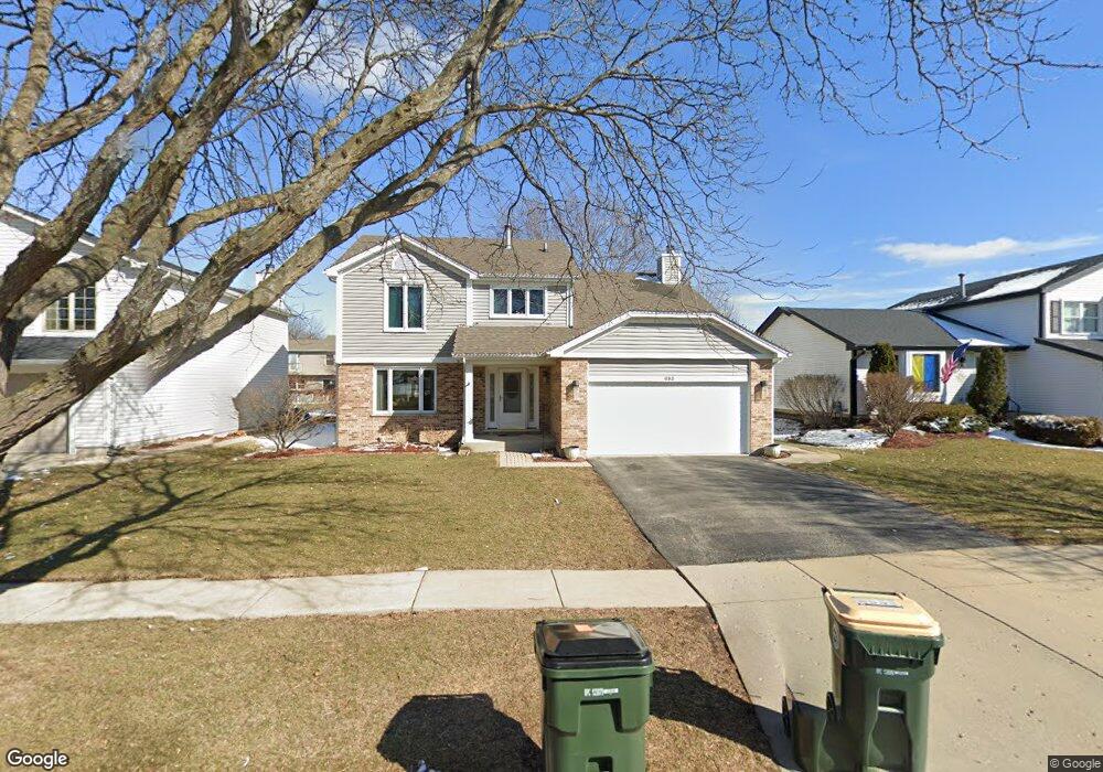
693 Cutter Ln Elk Grove Village, IL 60007
Elk Grove Village West NeighborhoodEstimated Value: $576,000 - $637,000
4
Beds
3
Baths
2,169
Sq Ft
$273/Sq Ft
Est. Value
About This Home
This home is located at 693 Cutter Ln, Elk Grove Village, IL 60007 and is currently estimated at $592,582, approximately $273 per square foot. 693 Cutter Ln is a home located in Cook County with nearby schools including Frederick Nerge Elementary School, Margaret Mead Junior High School, and J B Conant High School.
Ownership History
Date
Name
Owned For
Owner Type
Purchase Details
Closed on
Jun 28, 2004
Sold by
Prudential Residential Service
Bought by
Wilger Thomas D and Vroman Wilger Hazel
Current Estimated Value
Home Financials for this Owner
Home Financials are based on the most recent Mortgage that was taken out on this home.
Original Mortgage
$319,900
Interest Rate
6.17%
Mortgage Type
Unknown
Purchase Details
Closed on
Mar 27, 2004
Sold by
Demarest Charles W and Demarest Elizabeth O
Bought by
Prudential Residential Service Lp and Prudential Homes Corp
Create a Home Valuation Report for This Property
The Home Valuation Report is an in-depth analysis detailing your home's value as well as a comparison with similar homes in the area
Home Values in the Area
Average Home Value in this Area
Purchase History
| Date | Buyer | Sale Price | Title Company |
|---|---|---|---|
| Wilger Thomas D | $400,000 | Ticor | |
| Prudential Residential Service Lp | $400,000 | Ticor |
Source: Public Records
Mortgage History
| Date | Status | Borrower | Loan Amount |
|---|---|---|---|
| Previous Owner | Wilger Thomas D | $319,900 |
Source: Public Records
Tax History Compared to Growth
Tax History
| Year | Tax Paid | Tax Assessment Tax Assessment Total Assessment is a certain percentage of the fair market value that is determined by local assessors to be the total taxable value of land and additions on the property. | Land | Improvement |
|---|---|---|---|---|
| 2024 | $11,217 | $42,000 | $8,250 | $33,750 |
| 2023 | $10,866 | $42,000 | $8,250 | $33,750 |
| 2022 | $10,866 | $42,000 | $8,250 | $33,750 |
| 2021 | $9,747 | $34,154 | $5,437 | $28,717 |
| 2020 | $9,574 | $34,154 | $5,437 | $28,717 |
| 2019 | $9,567 | $37,949 | $5,437 | $32,512 |
| 2018 | $9,889 | $35,361 | $4,687 | $30,674 |
| 2017 | $9,774 | $35,361 | $4,687 | $30,674 |
| 2016 | $9,375 | $35,361 | $4,687 | $30,674 |
| 2015 | $8,899 | $31,583 | $4,125 | $27,458 |
| 2014 | $8,790 | $31,583 | $4,125 | $27,458 |
| 2013 | $8,547 | $31,583 | $4,125 | $27,458 |
Source: Public Records
Map
Nearby Homes
- 797 Geneva Cir
- 1810 Hawk Ln
- 833 Thornton Ct Unit 2B
- 1910 Baltimore Dr
- 826 Thornton Ct Unit 2AL
- 620 S Point Dr
- 966 Cumberland Ct Unit B2
- 1771 Vermont Dr
- 1022 Tennessee Ln
- 665 Arizona Pass
- 718 N Point Dr
- 1124 Lovell Ct
- 713 Oklahoma Way
- 263 Doral Ct Unit 1
- 870 Debra Ln
- 426 E Niagara Ave
- 1189 Grissom Trail
- 421 E Wise Rd
- 307 University Ln Unit A
- 722 Merlin Dr Unit 16