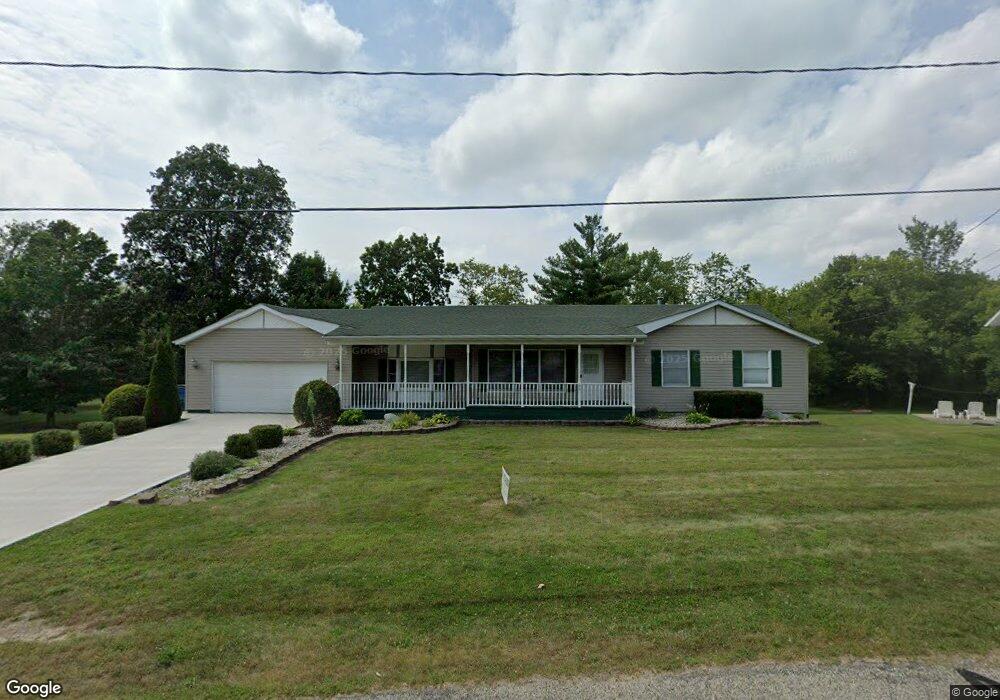
693 Langs Dr Jonesville, MI 49250
Estimated Value: $233,519 - $249,000
--
Bed
1
Bath
1,520
Sq Ft
$157/Sq Ft
Est. Value
About This Home
This home is located at 693 Langs Dr, Jonesville, MI 49250 and is currently estimated at $239,380, approximately $157 per square foot. 693 Langs Dr is a home located in Hillsdale County with nearby schools including Williams Elementary School, Jonesville Middle School, and Jonesville High School.
Ownership History
Date
Name
Owned For
Owner Type
Purchase Details
Closed on
May 6, 2024
Sold by
Haidous Mohamed and Haidous Mike G
Bought by
Haidous Mike G and Mike G Haidous Living Trust
Current Estimated Value
Purchase Details
Closed on
Mar 8, 2011
Sold by
Haydous Ghassan and Haydous Fadia
Bought by
Haidous Mohamad
Home Financials for this Owner
Home Financials are based on the most recent Mortgage that was taken out on this home.
Original Mortgage
$60,000
Interest Rate
4.85%
Mortgage Type
New Conventional
Purchase Details
Closed on
Jul 12, 2001
Sold by
Kast Dewain A and Kast Lois A
Bought by
Haydous Ghasson and Haydous Fadia
Create a Home Valuation Report for This Property
The Home Valuation Report is an in-depth analysis detailing your home's value as well as a comparison with similar homes in the area
Home Values in the Area
Average Home Value in this Area
Purchase History
| Date | Buyer | Sale Price | Title Company |
|---|---|---|---|
| Haidous Mike G | -- | None Listed On Document | |
| Haidous Mohamad | $75,000 | Title One Inc | |
| Haydous Ghasson | $140,000 | -- |
Source: Public Records
Mortgage History
| Date | Status | Borrower | Loan Amount |
|---|---|---|---|
| Previous Owner | Haidous Mohamad | $60,000 |
Source: Public Records
Tax History Compared to Growth
Tax History
| Year | Tax Paid | Tax Assessment Tax Assessment Total Assessment is a certain percentage of the fair market value that is determined by local assessors to be the total taxable value of land and additions on the property. | Land | Improvement |
|---|---|---|---|---|
| 2025 | $3,432 | $100,800 | $0 | $0 |
| 2024 | $1,496 | $96,600 | $0 | $0 |
| 2023 | $1,425 | $85,400 | $0 | $0 |
| 2022 | $3,118 | $77,600 | $0 | $0 |
| 2021 | $2,153 | $70,300 | $0 | $0 |
| 2020 | $2,130 | $63,800 | $0 | $0 |
| 2019 | $2,066 | $59,100 | $0 | $0 |
| 2018 | $1,990 | $55,500 | $0 | $0 |
| 2017 | $1,927 | $56,200 | $0 | $0 |
| 2016 | $1,910 | $50,050 | $0 | $0 |
| 2015 | $1,194 | $50,050 | $0 | $0 |
Source: Public Records
Map
Nearby Homes
- 400 Parkwood Dr
- 409 Evans St
- 463 E Chicago St
- 321 North St
- 205 Maumee St
- 207 Maumee St
- 211 West St
- 215 West St
- 509 Crest Ln
- 331 Jonesville Rd
- 410 Clinton St
- 417 Clinton St
- 341 Murphy St
- 309 Highland St
- 509 W Chicago St
- V/L W Carleton Rd
- 0 Oakridge Dr
- 1477 E Hastings Lake Rd
- 3714 W Hastings Lake Rd
- 3911 W Carleton Rd