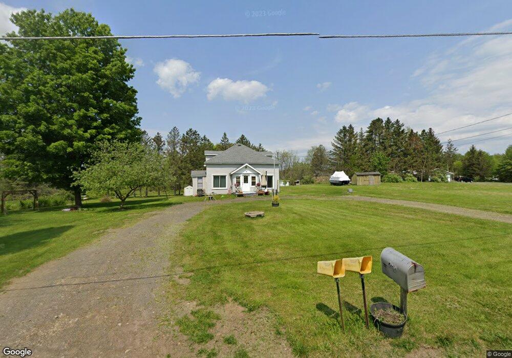
693 Lower Rd West Monroe, NY 13167
Estimated Value: $131,000 - $241,000
2
Beds
1
Bath
1,290
Sq Ft
$136/Sq Ft
Est. Value
About This Home
This home is located at 693 Lower Rd, West Monroe, NY 13167 and is currently estimated at $175,759, approximately $136 per square foot. 693 Lower Rd is a home located in Oswego County with nearby schools including Paul V. Moore High School.
Ownership History
Date
Name
Owned For
Owner Type
Purchase Details
Closed on
Oct 17, 2023
Sold by
White Sherry and White Cody Allen
Bought by
White Sherry
Current Estimated Value
Purchase Details
Closed on
Mar 22, 2021
Sold by
White Sherry and White Kenneth
Bought by
White Sherry and White Cody Allen
Purchase Details
Closed on
Jul 22, 1998
Sold by
Foster Beverly Dawn
Bought by
White Loretta
Create a Home Valuation Report for This Property
The Home Valuation Report is an in-depth analysis detailing your home's value as well as a comparison with similar homes in the area
Home Values in the Area
Average Home Value in this Area
Purchase History
| Date | Buyer | Sale Price | Title Company |
|---|---|---|---|
| White Sherry | -- | None Available | |
| White Sherry | -- | None Available | |
| White Loretta | $25,000 | -- |
Source: Public Records
Tax History
| Year | Tax Paid | Tax Assessment Tax Assessment Total Assessment is a certain percentage of the fair market value that is determined by local assessors to be the total taxable value of land and additions on the property. | Land | Improvement |
|---|---|---|---|---|
| 2024 | $2,334 | $120,600 | $19,100 | $101,500 |
| 2023 | $2,116 | $104,000 | $16,500 | $87,500 |
| 2022 | $2,550 | $89,000 | $16,500 | $72,500 |
| 2021 | $2,532 | $80,000 | $17,000 | $63,000 |
| 2020 | $1,578 | $80,000 | $17,000 | $63,000 |
| 2019 | $1,561 | $80,000 | $17,000 | $63,000 |
| 2018 | $1,561 | $80,000 | $16,500 | $63,500 |
| 2017 | $1,539 | $80,000 | $16,500 | $63,500 |
| 2016 | $1,577 | $80,000 | $16,500 | $63,500 |
| 2015 | -- | $76,300 | $13,400 | $62,900 |
| 2014 | -- | $2,000 | $700 | $1,300 |
Source: Public Records
Map
Nearby Homes
- 19 Whig Hill Rd
- 94 Avery Rd
- 356 Lower Rd
- 388 County Route 11
- 143 Toad Harbor Rd
- 482 County Route 11
- 0 Slosson Rd
- 2800 State Route 49
- 0 County Route 37 Unit S1629157
- 0 County Route 37 Unit S1629156
- 14 1st Ave
- 14 Parker Rd
- Slosson Rd
- 0 County Route 23 Unit LotWP001
- 0 County Route 23
- 31 Cemetary Rd
- 160 County Route 23
- 229 County Route 23a
- 123 Knapp Rd
- 0 Tannery Rd
- 687 Lower Rd
- 688 Lower Rd
- 2241 State Route 49
- 696 Lower Rd
- 2251 State Route 49
- 667 Lower Rd
- 2250 State Route 49
- 2260 State Route 49
- 649 Lower Rd
- 2274 State Route 49
- 2183 State Route 49
- 643 Lower Rd
- 2204 State Route 49
- 639 Lower Rd
- 628 Lower Rd
- 2184 State Route 49
- 2290 State Route 49
- 633 Lower Rd
- 2177 State Route 49
- 618 Lower Rd
Your Personal Tour Guide
Ask me questions while you tour the home.