693 Perry Rd Wyoming, PA 18644
Estimated Value: $275,000 - $378,000
--
Bed
--
Bath
1,855
Sq Ft
$175/Sq Ft
Est. Value
About This Home
This home is located at 693 Perry Rd, Wyoming, PA 18644 and is currently estimated at $323,855, approximately $174 per square foot. 693 Perry Rd is a home with nearby schools including Dallas Senior High School.
Ownership History
Date
Name
Owned For
Owner Type
Purchase Details
Closed on
Nov 10, 2011
Sold by
Congemi Nancie Norris and Norris Alfred J
Bought by
Brody Daniel P and Brody Maria E
Current Estimated Value
Home Financials for this Owner
Home Financials are based on the most recent Mortgage that was taken out on this home.
Original Mortgage
$165,400
Outstanding Balance
$112,241
Interest Rate
3.92%
Mortgage Type
New Conventional
Estimated Equity
$211,614
Create a Home Valuation Report for This Property
The Home Valuation Report is an in-depth analysis detailing your home's value as well as a comparison with similar homes in the area
Home Values in the Area
Average Home Value in this Area
Purchase History
| Date | Buyer | Sale Price | Title Company |
|---|---|---|---|
| Brody Daniel P | $183,800 | None Available |
Source: Public Records
Mortgage History
| Date | Status | Borrower | Loan Amount |
|---|---|---|---|
| Open | Brody Daniel P | $165,400 |
Source: Public Records
Tax History Compared to Growth
Tax History
| Year | Tax Paid | Tax Assessment Tax Assessment Total Assessment is a certain percentage of the fair market value that is determined by local assessors to be the total taxable value of land and additions on the property. | Land | Improvement |
|---|---|---|---|---|
| 2025 | $4,231 | $198,700 | $74,100 | $124,600 |
| 2024 | $4,098 | $198,700 | $74,100 | $124,600 |
| 2023 | $4,098 | $198,700 | $74,100 | $124,600 |
| 2022 | $4,061 | $198,700 | $74,100 | $124,600 |
| 2021 | $4,061 | $198,700 | $74,100 | $124,600 |
| 2020 | $4,061 | $198,700 | $74,100 | $124,600 |
| 2019 | $4,023 | $198,700 | $74,100 | $124,600 |
| 2018 | $3,982 | $198,700 | $74,100 | $124,600 |
| 2017 | $3,924 | $198,700 | $74,100 | $124,600 |
| 2016 | -- | $198,700 | $74,100 | $124,600 |
| 2015 | -- | $198,700 | $74,100 | $124,600 |
| 2014 | -- | $198,700 | $74,100 | $124,600 |
Source: Public Records
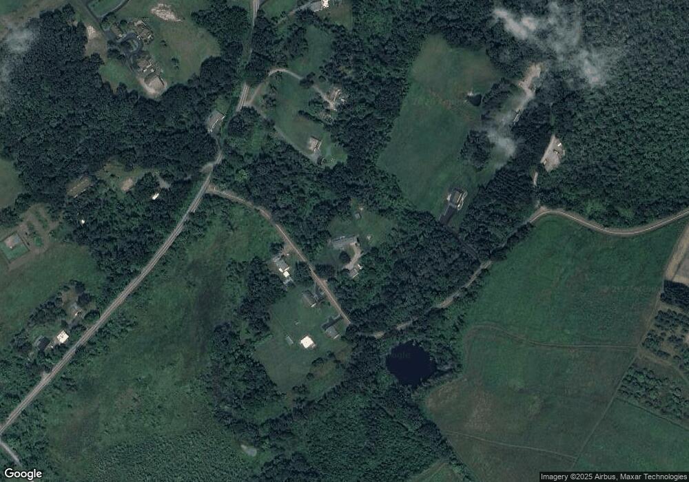
Map
Nearby Homes
- 750 Slocum Ave
- 633 Campground Rd
- 1523 W 8th St
- 41 Gashi Rd
- 522 Sutton Creek Rd
- 675 Apple Tree Rd
- 278 Cider Run Rd
- 3061 Main St
- 17 Mount Lookout Park
- 3018 Main St
- 456 Village Rd
- 36 Brown Crest Dr
- 314 Terrace Ave
- 9 Circle Dr
- 5 Rowlands Ln
- 215 Bennett St
- 2356 Newton Ransom Blvd
- 0 Lockville Rd Church Rd Unit 25-1114
- 2352 Newton Ransom Blvd
- 43 Hill St