693 Post Rd Cleveland, GA 30528
Estimated Value: $481,000 - $710,000
3
Beds
2
Baths
2,132
Sq Ft
$286/Sq Ft
Est. Value
About This Home
This home is located at 693 Post Rd, Cleveland, GA 30528 and is currently estimated at $609,765, approximately $286 per square foot. 693 Post Rd is a home located in White County with nearby schools including White County 9th Grade Academy, Tesnatee Gap Elementary (Old White County Intermediate), and Jack P. Nix Elementary School.
Ownership History
Date
Name
Owned For
Owner Type
Purchase Details
Closed on
Mar 3, 2017
Sold by
Turner Joel N
Bought by
Hollingsworth David Lee and Golden Virginia Anne
Current Estimated Value
Home Financials for this Owner
Home Financials are based on the most recent Mortgage that was taken out on this home.
Original Mortgage
$314,100
Outstanding Balance
$246,774
Interest Rate
2.5%
Mortgage Type
New Conventional
Estimated Equity
$362,991
Create a Home Valuation Report for This Property
The Home Valuation Report is an in-depth analysis detailing your home's value as well as a comparison with similar homes in the area
Home Values in the Area
Average Home Value in this Area
Purchase History
| Date | Buyer | Sale Price | Title Company |
|---|---|---|---|
| Hollingsworth David Lee | $349,000 | -- |
Source: Public Records
Mortgage History
| Date | Status | Borrower | Loan Amount |
|---|---|---|---|
| Open | Hollingsworth David Lee | $314,100 |
Source: Public Records
Tax History Compared to Growth
Tax History
| Year | Tax Paid | Tax Assessment Tax Assessment Total Assessment is a certain percentage of the fair market value that is determined by local assessors to be the total taxable value of land and additions on the property. | Land | Improvement |
|---|---|---|---|---|
| 2025 | $2,532 | $185,436 | $27,000 | $158,436 |
| 2024 | $2,532 | $215,460 | $27,000 | $188,460 |
| 2023 | $3,317 | $194,636 | $24,000 | $170,636 |
| 2022 | $3,640 | $174,448 | $21,000 | $153,448 |
| 2021 | $3,234 | $130,264 | $19,040 | $111,224 |
| 2020 | $3,327 | $124,132 | $17,680 | $106,452 |
| 2019 | $3,338 | $124,132 | $17,680 | $106,452 |
| 2018 | $3,338 | $124,132 | $17,680 | $106,452 |
| 2017 | $2,922 | $104,464 | $17,680 | $86,784 |
| 2016 | $2,923 | $104,464 | $17,680 | $86,784 |
| 2015 | $2,468 | $231,130 | $17,680 | $74,772 |
| 2014 | $2,342 | $218,920 | $0 | $0 |
Source: Public Records
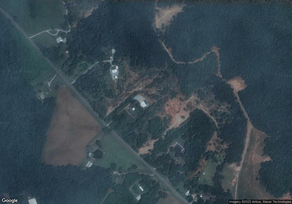
Map
Nearby Homes
- 152 Grand View Dr
- 256 Dogwood Ln
- 221 Grand View Dr
- 0 Grand View Dr Unit 10479899
- 109 Driskell Rd
- 61 Pine Ln
- 179 Garrison Dr
- 0 College View Dr Unit LOT 3 10541620
- 250 Truelove Rd
- 611 Highway 75 S
- 329 Leisure Acres Dr
- 150 Hardwood Dr
- 0 Underwood Farm Rd Unit 10620914
- 338 Black Rd
- 488 Old Highway 75 S
- 841 Yonah Meadow Dr
- 267 Pointe Willow Dr
- 171 Pointe Willow Dr
- 1021 Black Rd
- 0 Old Highway 75 S Unit 7656742
- 783 Post Rd
- 577 Post Rd
- 827 Post Rd
- 541 Post Rd
- 541 Post Rd
- 455 Post Rd
- 933 Post Rd
- 991 Post Rd
- 1034 Post Rd
- 370 Post Rd
- 1659 Highway 75 S
- 1687 Highway 75 S
- 1690 Old 75 S Unit 1
- 39 Stonebrook Trail
- 0 Stonebrook Trail Unit 8439942
- 0 Stonebrook Trail Unit 8308420
- 0 Stonebrook Trail Unit 8281547
- 0 Stonebrook Trail Unit 37 7132355
- 0 Stonebrook Trail Unit 37
- 0 Stonebrook Trail Unit 37 7453208