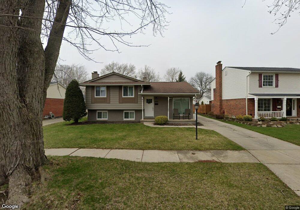
693 Shenandoah Dr Unit Bldg-Unit Clawson, MI 48017
Estimated Value: $380,000 - $387,000
3
Beds
2
Baths
1,552
Sq Ft
$248/Sq Ft
Est. Value
About This Home
This home is located at 693 Shenandoah Dr Unit Bldg-Unit, Clawson, MI 48017 and is currently estimated at $384,201, approximately $247 per square foot. 693 Shenandoah Dr Unit Bldg-Unit is a home located in Oakland County with nearby schools including Clawson Middle School, Clawson High School, and Japhet School.
Ownership History
Date
Name
Owned For
Owner Type
Purchase Details
Closed on
Sep 19, 2025
Sold by
Storm Troy and Storm Keri
Bought by
Djurasevic Andjela and Hudson Jeremy
Current Estimated Value
Home Financials for this Owner
Home Financials are based on the most recent Mortgage that was taken out on this home.
Original Mortgage
$373,117
Outstanding Balance
$373,117
Interest Rate
6.58%
Mortgage Type
FHA
Estimated Equity
$11,084
Purchase Details
Closed on
May 31, 2018
Sold by
Lampman Sharon Alexander and Lampman Terry
Bought by
Storm Troy
Home Financials for this Owner
Home Financials are based on the most recent Mortgage that was taken out on this home.
Original Mortgage
$237,650
Interest Rate
4.4%
Mortgage Type
New Conventional
Create a Home Valuation Report for This Property
The Home Valuation Report is an in-depth analysis detailing your home's value as well as a comparison with similar homes in the area
Home Values in the Area
Average Home Value in this Area
Purchase History
| Date | Buyer | Sale Price | Title Company |
|---|---|---|---|
| Djurasevic Andjela | $380,000 | Vanguard Title | |
| Storm Troy | $245,000 | Devon Title Agency | |
| Storm Troy | -- | None Available |
Source: Public Records
Mortgage History
| Date | Status | Borrower | Loan Amount |
|---|---|---|---|
| Open | Djurasevic Andjela | $373,117 | |
| Previous Owner | Storm Troy | $237,650 |
Source: Public Records
Tax History
| Year | Tax Paid | Tax Assessment Tax Assessment Total Assessment is a certain percentage of the fair market value that is determined by local assessors to be the total taxable value of land and additions on the property. | Land | Improvement |
|---|---|---|---|---|
| 2025 | $6,590 | $173,260 | $0 | $0 |
| 2024 | $6,297 | $164,390 | $0 | $0 |
| 2023 | $6,037 | $152,770 | $0 | $0 |
| 2022 | $6,085 | $141,670 | $0 | $0 |
| 2021 | $5,960 | $133,940 | $0 | $0 |
| 2020 | $5,774 | $126,920 | $0 | $0 |
| 2019 | $5,966 | $118,070 | $0 | $0 |
| 2018 | $3,868 | $108,900 | $0 | $0 |
| 2017 | $3,845 | $105,930 | $0 | $0 |
| 2016 | $3,888 | $100,020 | $0 | $0 |
| 2015 | -- | $92,260 | $0 | $0 |
| 2014 | -- | $80,830 | $0 | $0 |
| 2011 | -- | $74,180 | $0 | $0 |
Source: Public Records
Map
Nearby Homes
- 674 Langley Blvd
- 931 W Elmwood Ave
- 846 Phillips Ave
- 908 W Elmwood Ave
- Fairfax Plan at The Village at Clawson Park
- Penrose Plan at The Village at Clawson Park
- 320 N Batchewana St
- 5065 Crooks Rd Unit 49
- 310 N Marias Ave
- 2130 Wickham St Unit 4
- 2134 Wickham St
- 4921 N Crooks Rd Unit N-10
- 609 John M Ave
- 4909 Crooks Rd Unit D6
- 4909 Crooks Rd Unit 4
- 4905 Crooks A2 Rd
- 4921 Crooks Rd Unit M-10
- 4921 Crooks Rd
- 1451 Kenilworth Place
- 298 Broadacre Ave
- 683 Shenandoah Dr
- 703 Shenandoah Dr
- 713 Shenandoah Dr
- 730 Langley Blvd
- 669 Shenandoah Dr
- 740 Langley Blvd
- 723 Shenandoah Dr
- 655 Shenandoah Dr
- 722 Langley Blvd
- 750 Langley Blvd
- 712 Langley Blvd
- 688 Shenandoah Dr
- 733 Shenandoah Dr
- 664 Shenandoah Dr
- 698 Shenandoah Dr
- 666 Shenandoah Dr
- 643 Shenandoah Dr
- 760 Langley Blvd
- 702 Langley Blvd
- 708 Shenandoah Dr Unit Bldg-Unit