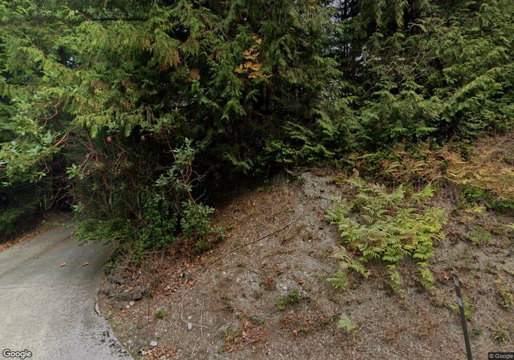
693 State Route 20 Port Townsend, WA 98368
Estimated Value: $611,000 - $709,906
2
Beds
1
Bath
2,403
Sq Ft
$278/Sq Ft
Est. Value
About This Home
This home is located at 693 State Route 20, Port Townsend, WA 98368 and is currently estimated at $669,227, approximately $278 per square foot. 693 State Route 20 is a home located in Jefferson County with nearby schools including Salish Coast Elementary School, Blue Heron Middle School, and Port Townsend High School.
Ownership History
Date
Name
Owned For
Owner Type
Purchase Details
Closed on
Sep 9, 2021
Sold by
Jennett Benjamin W and Pearson Linda L
Bought by
Hays Shawn and Hays Joanne Thurma
Current Estimated Value
Home Financials for this Owner
Home Financials are based on the most recent Mortgage that was taken out on this home.
Original Mortgage
$420,000
Outstanding Balance
$382,169
Interest Rate
2.8%
Mortgage Type
New Conventional
Estimated Equity
$287,058
Purchase Details
Closed on
May 2, 2006
Sold by
Atwell Harry and Atwell Jewell
Bought by
Jennett Benjamin W and Pearson Linda L
Create a Home Valuation Report for This Property
The Home Valuation Report is an in-depth analysis detailing your home's value as well as a comparison with similar homes in the area
Home Values in the Area
Average Home Value in this Area
Purchase History
| Date | Buyer | Sale Price | Title Company |
|---|---|---|---|
| Hays Shawn | $525,000 | First Amer Ttl Of Jefferson | |
| Jennett Benjamin W | $429,000 | First American Title |
Source: Public Records
Mortgage History
| Date | Status | Borrower | Loan Amount |
|---|---|---|---|
| Open | Hays Shawn | $420,000 |
Source: Public Records
Tax History Compared to Growth
Tax History
| Year | Tax Paid | Tax Assessment Tax Assessment Total Assessment is a certain percentage of the fair market value that is determined by local assessors to be the total taxable value of land and additions on the property. | Land | Improvement |
|---|---|---|---|---|
| 2024 | $4,970 | $612,843 | $144,139 | $468,704 |
| 2023 | $4,970 | $580,052 | $131,964 | $448,088 |
| 2022 | $4,556 | $527,678 | $120,325 | $407,353 |
| 2021 | $4,464 | $443,689 | $107,538 | $336,151 |
| 2020 | $4,333 | $406,716 | $98,577 | $308,139 |
| 2019 | $3,861 | $388,228 | $94,096 | $294,132 |
| 2018 | $3,436 | $369,741 | $89,615 | $280,126 |
| 2017 | $3,077 | $284,952 | $83,976 | $200,976 |
| 2016 | $2,783 | $284,952 | $83,976 | $200,976 |
| 2015 | $2,796 | $284,952 | $83,976 | $200,976 |
| 2014 | -- | $284,952 | $83,976 | $200,976 |
| 2013 | -- | $284,950 | $83,975 | $200,975 |
Source: Public Records
Map
Nearby Homes
- 189 Bentley Place
- NKA Lots 41 up Holland Dr Unit 45 - 48 Honeymoon La
- 9999 Holland Dr
- 4809 Old Gardiner Rd
- 5 Eaglemount Rd
- 0 Xxxxxx Unit NWM2308348
- 1625 Lorraine Way
- 1619 Lorraine Way
- 1631 Lorraine Way
- 1624 Lorraine Way
- 1607 Lorraine Way
- 1612 Lorraine Way
- NKA Snow Creek Way E
- 9999 Snow Creek Way E
- 51 Cherry Ln
- 0 Skidder Hill Rd Unit NWM2400640
- 9999 View Ridge - Lot 4 Dr
- Lot 4 View Ridge Dr
- 2801 W Valley Rd
- 0 B1000
- 693 State Route 20
- 21 Fairmount Rd
- 670 Fairmount Rd
- 661 Fairmount Rd
- 635 State Route 20
- 581 Fairmount Rd
- 541 Fairmount Rd
- 741 Fairmount Rd
- 400 Fairmount Rd
- 791 Fairmount Rd
- 393 Fairmount Rd
- 813 Fairmount Rd
- 841 Fairmount Rd
- 853 Fairmount Rd
- 30 Fairmount Hill Rd
- 30 Fairmount Hill Rd
- 702 Fairmount Rd
- 405 State Route 20
- 921 Fairmount Rd
- 961 Fairmount Rd
