693 Walnut Grove Rd Unit x Oxford, NC 27565
Estimated Value: $178,000 - $261,000
--
Bed
--
Bath
2,028
Sq Ft
$109/Sq Ft
Est. Value
About This Home
This home is located at 693 Walnut Grove Rd Unit x, Oxford, NC 27565 and is currently estimated at $221,594, approximately $109 per square foot. 693 Walnut Grove Rd Unit x is a home located in Granville County with nearby schools including Stovall-Shaw Elementary School, Northern Granville Middle School, and J.F. Webb High School.
Ownership History
Date
Name
Owned For
Owner Type
Purchase Details
Closed on
Oct 26, 2020
Sold by
Mallory Robert
Bought by
Johnson Robert W
Current Estimated Value
Purchase Details
Closed on
May 25, 2012
Sold by
Capital Bank Na
Bought by
Mallory Robert L
Home Financials for this Owner
Home Financials are based on the most recent Mortgage that was taken out on this home.
Original Mortgage
$36,000
Interest Rate
3.84%
Mortgage Type
Future Advance Clause Open End Mortgage
Purchase Details
Closed on
Jan 18, 2006
Sold by
New Branch Home & Land Llc
Bought by
Schwab Kevin A and Schwab Donna J
Home Financials for this Owner
Home Financials are based on the most recent Mortgage that was taken out on this home.
Original Mortgage
$100,000
Interest Rate
6.22%
Mortgage Type
Future Advance Clause Open End Mortgage
Create a Home Valuation Report for This Property
The Home Valuation Report is an in-depth analysis detailing your home's value as well as a comparison with similar homes in the area
Home Values in the Area
Average Home Value in this Area
Purchase History
| Date | Buyer | Sale Price | Title Company |
|---|---|---|---|
| Johnson Robert W | $43,000 | None Available | |
| Mallory Robert L | $45,000 | None Available | |
| Schwab Kevin A | $125,000 | -- |
Source: Public Records
Mortgage History
| Date | Status | Borrower | Loan Amount |
|---|---|---|---|
| Previous Owner | Mallory Robert L | $36,000 | |
| Previous Owner | Schwab Kevin A | $100,000 |
Source: Public Records
Tax History Compared to Growth
Tax History
| Year | Tax Paid | Tax Assessment Tax Assessment Total Assessment is a certain percentage of the fair market value that is determined by local assessors to be the total taxable value of land and additions on the property. | Land | Improvement |
|---|---|---|---|---|
| 2025 | $986 | $124,750 | $105,036 | $19,714 |
| 2024 | $986 | $124,750 | $105,036 | $19,714 |
| 2023 | $981 | $75,603 | $63,068 | $12,535 |
| 2022 | $781 | $75,603 | $63,068 | $12,535 |
| 2021 | $731 | $75,603 | $63,068 | $12,535 |
| 2020 | $731 | $75,603 | $63,068 | $12,535 |
| 2019 | $731 | $75,603 | $63,068 | $12,535 |
| 2018 | $731 | $75,603 | $63,068 | $12,535 |
| 2016 | $922 | $93,884 | $62,463 | $31,421 |
| 2015 | $870 | $93,884 | $62,463 | $31,421 |
| 2014 | $870 | $93,884 | $62,463 | $31,421 |
| 2013 | -- | $93,884 | $62,463 | $31,421 |
Source: Public Records
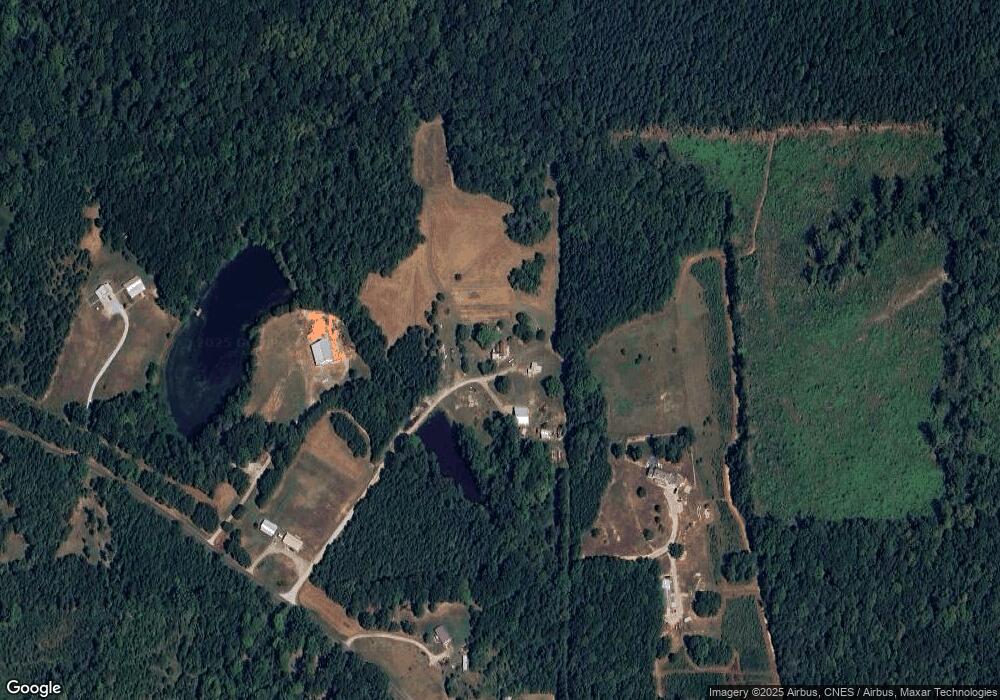
Map
Nearby Homes
- 0 Noel Tuck Rd
- 7701 Goshen Rd
- 1806 Polk Huff Rd
- 0 Webb Chapel Rd Unit 10099652
- 5 Hwy 96 St
- 8365 Aaron Creek Church Rd
- 3 Hwy 96 St
- 6688 Goshen Rd
- 8596 Redding Rd
- 1665 Satterwhite Rd
- 0 Old Roxboro Rd Unit 10027603
- 6708 Old Roxboro Rd
- 1387 Saint Paul Church Rd
- 1 McCoy Jeffers Dr
- 652 Hazel Lawson Rd
- 2077 Satterwhite Rd
- 2085 Satterwhite Rd
- 2097 Satterwhite Rd
- 1060 Saint Paul Church Rd
- 24 Acres Bob Daniel Rd
- 693 Walnut Grove Rd
- 1007 Walnut Grove Rd
- 681 Walnut Grove Rd
- 701 Walnut Grove Rd
- 687 Walnut Grove Rd
- 702 Walnut Grove Rd
- 702 Walnut Grove Rd
- 675 Walnut Grove Rd
- 1021 Walnut Grove Rd
- 1025 Walnut Grove Rd
- 665 Walnut Grove Rd
- 1029 Walnut Grove Rd
- 1029 Walnut Grove Rd Unit 4
- 661 Walnut Grove Rd
- 7567 Noel Tuck Rd
- 1037 Walnut Grove Rd
- 1037 Walnut Grove Rd Unit 2
- 7565 Noel Tuck Rd
- 1041 Walnut Grove Rd
- 1045 Walnut Grove Rd