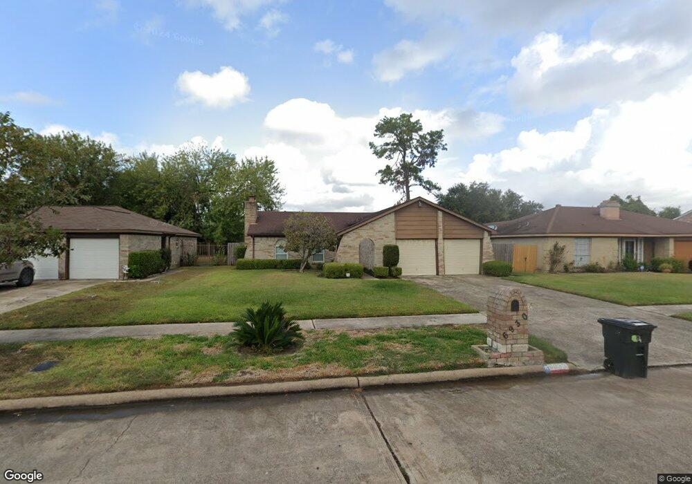
6930 Canyon Way Dr Houston, TX 77086
North Houston NeighborhoodEstimated Value: $209,737 - $236,000
3
Beds
2
Baths
1,408
Sq Ft
$157/Sq Ft
Est. Value
About This Home
This home is located at 6930 Canyon Way Dr, Houston, TX 77086 and is currently estimated at $221,184, approximately $157 per square foot. 6930 Canyon Way Dr is a home located in Harris County with nearby schools including Kujawa EC/Pre-K/K School, Carmichael Elementary School, and Shotwell Middle School.
Ownership History
Date
Name
Owned For
Owner Type
Purchase Details
Closed on
Jun 13, 1997
Sold by
Gilpin Marilyn Joy and Stromire Charles E
Bought by
Ford Ruthie L
Current Estimated Value
Home Financials for this Owner
Home Financials are based on the most recent Mortgage that was taken out on this home.
Original Mortgage
$63,918
Outstanding Balance
$9,107
Interest Rate
7.93%
Mortgage Type
FHA
Estimated Equity
$212,077
Create a Home Valuation Report for This Property
The Home Valuation Report is an in-depth analysis detailing your home's value as well as a comparison with similar homes in the area
Home Values in the Area
Average Home Value in this Area
Purchase History
| Date | Buyer | Sale Price | Title Company |
|---|---|---|---|
| Ford Ruthie L | -- | Alamo Title Company |
Source: Public Records
Mortgage History
| Date | Status | Borrower | Loan Amount |
|---|---|---|---|
| Open | Ford Ruthie L | $63,918 |
Source: Public Records
Tax History Compared to Growth
Tax History
| Year | Tax Paid | Tax Assessment Tax Assessment Total Assessment is a certain percentage of the fair market value that is determined by local assessors to be the total taxable value of land and additions on the property. | Land | Improvement |
|---|---|---|---|---|
| 2025 | $772 | $194,495 | $39,692 | $154,803 |
| 2024 | $772 | $197,299 | $39,692 | $157,607 |
| 2023 | $772 | $200,888 | $39,692 | $161,196 |
| 2022 | $3,437 | $169,407 | $33,638 | $135,769 |
| 2021 | $3,117 | $142,020 | $33,638 | $108,382 |
| 2020 | $3,150 | $134,808 | $33,638 | $101,170 |
| 2019 | $2,977 | $126,817 | $17,144 | $109,673 |
| 2018 | $459 | $120,307 | $17,144 | $103,163 |
| 2017 | $2,373 | $112,673 | $15,395 | $97,278 |
| 2016 | $2,157 | $102,321 | $15,395 | $86,926 |
| 2015 | $1,503 | $95,448 | $15,395 | $80,053 |
| 2014 | $1,503 | $72,653 | $15,395 | $57,258 |
Source: Public Records
Map
Nearby Homes
- 11007 Tobasa Ct
- 7002 Sandswept Ln
- 6722 Winding Trace Dr
- 11006 Crinkleawn Dr
- 6654 Brownie Campbell Rd
- 7218 Winding Trace Dr
- 7023 Sandswept Ln
- 6630 Brownie Campbell Rd
- 11021 Crenchrus Ct
- 6610 Northleaf Dr
- 11009 Panicum Ct
- 7222 Northleaf Dr
- 7227 Greenyard Dr
- 6615 Winding Trace Dr
- 6911 Silver Star Dr
- 10614 Mackenzie Dr
- 10711 Heather Hill Dr
- 10522 Northview Dr
- 10307 Bammel North Houston Rd
- 10723 Mackenzie Dr
- 6934 Canyon Way Dr
- 6926 Canyon Way Dr
- 6931 Northleaf Dr
- 6938 Canyon Way Dr
- 6922 Canyon Way Dr
- 6935 Northleaf Dr
- 6927 Northleaf Dr
- 6931 Canyon Way Dr
- 6923 Northleaf Dr
- 6939 Northleaf Dr
- 6927 Canyon Way Dr
- 6935 Canyon Way Dr
- 6942 Canyon Way Dr
- 6918 Canyon Way Dr
- 6923 Canyon Way Dr
- 6939 Canyon Way Dr
- 6919 Northleaf Dr
- 6943 Northleaf Dr
- 6943 Canyon Way Dr
- 6915 Canyon Way Dr