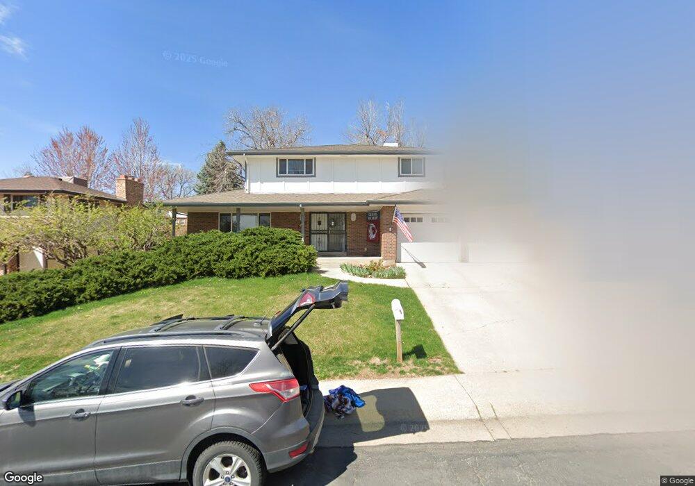
6931 Ammons St Arvada, CO 80004
Scenic Heights NeighborhoodEstimated Value: $689,000 - $787,000
6
Beds
7
Baths
2,165
Sq Ft
$343/Sq Ft
Est. Value
About This Home
This home is located at 6931 Ammons St, Arvada, CO 80004 and is currently estimated at $743,516, approximately $343 per square foot. 6931 Ammons St is a home located in Jefferson County with nearby schools including Secrest Elementary School, Peck Elementary School, and Arvada K-8.
Ownership History
Date
Name
Owned For
Owner Type
Purchase Details
Closed on
Dec 11, 2008
Sold by
Hudson Jeffrey A
Bought by
Loftesness Cindy L
Current Estimated Value
Purchase Details
Closed on
Mar 6, 1997
Sold by
Anderson Phillip G and Anderson Cindy L
Bought by
Hudson Jeffrey A and Hudson Cindy L
Home Financials for this Owner
Home Financials are based on the most recent Mortgage that was taken out on this home.
Original Mortgage
$75,000
Interest Rate
7.89%
Create a Home Valuation Report for This Property
The Home Valuation Report is an in-depth analysis detailing your home's value as well as a comparison with similar homes in the area
Home Values in the Area
Average Home Value in this Area
Purchase History
| Date | Buyer | Sale Price | Title Company |
|---|---|---|---|
| Loftesness Cindy L | -- | None Available | |
| Hudson Jeffrey A | -- | Stewart Title |
Source: Public Records
Mortgage History
| Date | Status | Borrower | Loan Amount |
|---|---|---|---|
| Previous Owner | Hudson Jeffrey A | $75,000 |
Source: Public Records
Tax History Compared to Growth
Tax History
| Year | Tax Paid | Tax Assessment Tax Assessment Total Assessment is a certain percentage of the fair market value that is determined by local assessors to be the total taxable value of land and additions on the property. | Land | Improvement |
|---|---|---|---|---|
| 2024 | $4,246 | $43,777 | $22,068 | $21,709 |
| 2023 | $4,246 | $43,777 | $22,068 | $21,709 |
| 2022 | $3,617 | $36,934 | $16,531 | $20,403 |
| 2021 | $3,677 | $37,997 | $17,007 | $20,990 |
| 2020 | $3,177 | $32,919 | $13,081 | $19,838 |
| 2019 | $3,134 | $32,919 | $13,081 | $19,838 |
| 2018 | $3,096 | $31,618 | $10,625 | $20,993 |
| 2017 | $2,834 | $31,618 | $10,625 | $20,993 |
| 2016 | $2,564 | $26,945 | $7,411 | $19,534 |
| 2015 | $2,488 | $26,945 | $7,411 | $19,534 |
| 2014 | $2,488 | $24,574 | $7,794 | $16,780 |
Source: Public Records
Map
Nearby Homes
- 6902 Ammons St
- 6958 Brentwood Ct
- 8090 W 68th Ave
- 8371 W 70th Ave
- 6801 Carr St
- 7769 W 70th Dr
- 8306 W 71st Place
- 8366 W 71st Place
- 8612 W 69th Place
- 7555 W 69th Place
- 7126 Dudley Dr
- 7077 Dudley Dr
- 6913 Teller Ct
- 6705 Upham St
- 6685 Upham St
- 7021 Saulsbury St
- 6409 Brentwood St
- 7049 Reed Ct
- 6438 Yarrow St
- 6781 Quay Ct
- 6941 Ammons St
- 6921 Ammons St
- 6934 Balsam St
- 6924 Balsam St
- 6944 Balsam St
- 6932 Ammons St
- 8118 W 69th Way
- 6911 Ammons St
- 6922 Ammons St
- 8138 W 69th Way
- 6942 Ammons St
- 6914 Balsam St
- 6912 Ammons St
- 8158 W 69th Way
- 8088 W 70th Dr
- 8115 W 69th Ave
- 6943 Balsam St
- 8185 W 69th Ave
- 6933 Balsam St
- 6923 Balsam St