6931 Brock Rd Ardmore, OK 73401
Estimated Value: $286,000 - $324,259
3
Beds
2
Baths
1,562
Sq Ft
$198/Sq Ft
Est. Value
About This Home
This home is located at 6931 Brock Rd, Ardmore, OK 73401 and is currently estimated at $308,565, approximately $197 per square foot. 6931 Brock Rd is a home with nearby schools including Lone Grove Primary School, Lone Grove Intermediate School, and Lone Grove Middle School.
Ownership History
Date
Name
Owned For
Owner Type
Purchase Details
Closed on
Jun 21, 2013
Sold by
Reed Joe Stephen Lynn and Reed Lucinda Kay
Bought by
Reed Shyla P
Current Estimated Value
Home Financials for this Owner
Home Financials are based on the most recent Mortgage that was taken out on this home.
Original Mortgage
$106,573
Outstanding Balance
$79,516
Interest Rate
3.43%
Mortgage Type
USDA
Estimated Equity
$229,049
Purchase Details
Closed on
Jan 10, 1997
Sold by
Miller Charleen L
Bought by
Miller Cory and Miller Miller
Purchase Details
Closed on
Oct 6, 1993
Sold by
Hess David J
Bought by
Miller Charleen L
Purchase Details
Closed on
Jul 26, 1993
Sold by
Hess David J
Bought by
Miller Charleen L
Create a Home Valuation Report for This Property
The Home Valuation Report is an in-depth analysis detailing your home's value as well as a comparison with similar homes in the area
Home Values in the Area
Average Home Value in this Area
Purchase History
| Date | Buyer | Sale Price | Title Company |
|---|---|---|---|
| Reed Shyla P | -- | Multiple | |
| Miller Cory | -- | -- | |
| Miller Charleen L | $2,000 | -- | |
| Miller Charleen L | $6,000 | -- |
Source: Public Records
Mortgage History
| Date | Status | Borrower | Loan Amount |
|---|---|---|---|
| Open | Reed Shyla P | $106,573 |
Source: Public Records
Tax History Compared to Growth
Tax History
| Year | Tax Paid | Tax Assessment Tax Assessment Total Assessment is a certain percentage of the fair market value that is determined by local assessors to be the total taxable value of land and additions on the property. | Land | Improvement |
|---|---|---|---|---|
| 2025 | $2,822 | $28,735 | $3,090 | $25,645 |
| 2024 | $2,822 | $27,897 | $3,000 | $24,897 |
| 2023 | $2,737 | $27,085 | $3,000 | $24,085 |
| 2022 | $2,721 | $26,296 | $3,000 | $23,296 |
| 2021 | $2,088 | $20,055 | $3,000 | $17,055 |
| 2020 | $2,076 | $20,055 | $3,000 | $17,055 |
| 2019 | $2,042 | $19,751 | $3,000 | $16,751 |
| 2018 | $2,080 | $19,925 | $3,000 | $16,925 |
| 2017 | $2,091 | $20,109 | $3,000 | $17,109 |
| 2016 | $2,041 | $19,685 | $2,985 | $16,700 |
| 2015 | $2,157 | $18,748 | $2,400 | $16,348 |
| 2014 | $276 | $2,400 | $2,400 | $0 |
Source: Public Records
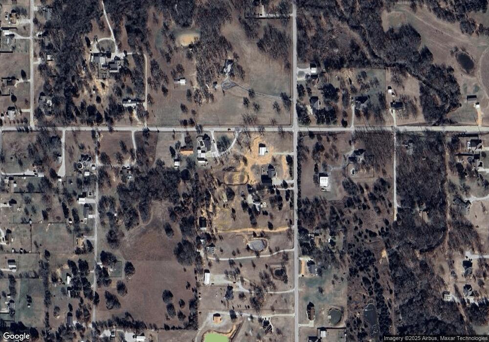
Map
Nearby Homes
- 7023 Myall Rd SW
- 7241 Myall Rd
- 0 High Chaparal Dr Unit 2525272
- 00 Bob White Rd
- 40 Whipperwill St
- 0 Durango St
- 270 Hickory St
- 319 Cross Creek Cir
- 145 Cross Creek Cir
- 0 Kelly Ln
- 940 Durango St
- 0 Foxden Rd Unit 2511367
- 5705 S Brock Rd
- 298 Evergreen St
- 5648 Myall Rd
- 0000 White Tail Ln
- 656 Evergreen St
- 0 Evergreen St
- 58 Wisteria St
- 86 Wisteria St
- 6851 Brock Rd
- 6851 S Brock Rd
- 6835 Brock Rd
- 7217 Myall Rd
- 6980 Brock Rd
- 6810 Brock Rd
- 6799 Brock Rd
- 0 S Brock Rd Unit 24525
- 0 S Brock Rd Unit 37215
- 7012 Brock Rd
- 6798 Brock Rd
- 7012 S Brock Rd
- 7022 Myall Rd
- TBD 1+ Acres #3 Myall Rd
- 6749 Brock Rd
- 401 Willard Rd
- 6972 Myall Rd
- 25 Honeysuckle St
- 6700 Brock Rd
- 101 Honeysuckle St