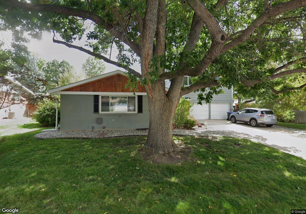
6932 Oak Way Arvada, CO 80004
Northwest Arvada NeighborhoodEstimated Value: $683,000 - $741,000
5
Beds
3
Baths
2,621
Sq Ft
$268/Sq Ft
Est. Value
About This Home
This home is located at 6932 Oak Way, Arvada, CO 80004 and is currently estimated at $703,311, approximately $268 per square foot. 6932 Oak Way is a home located in Jefferson County with nearby schools including Fremont Elementary School, Arvada K-8, and Oberon Middle School.
Ownership History
Date
Name
Owned For
Owner Type
Purchase Details
Closed on
Dec 17, 2023
Sold by
Pelc Seabron and Pelc Cory
Bought by
Pelc Seabron
Current Estimated Value
Purchase Details
Closed on
Apr 23, 2019
Sold by
Hill Christopher and Hill Kerrie
Bought by
Pelc Seabron and Pelc Cory
Purchase Details
Closed on
Jul 22, 2009
Sold by
Garcia Debbie Lee
Bought by
Hill Christopher and Hill Kerrie
Home Financials for this Owner
Home Financials are based on the most recent Mortgage that was taken out on this home.
Original Mortgage
$230,743
Interest Rate
5.41%
Mortgage Type
FHA
Create a Home Valuation Report for This Property
The Home Valuation Report is an in-depth analysis detailing your home's value as well as a comparison with similar homes in the area
Home Values in the Area
Average Home Value in this Area
Purchase History
| Date | Buyer | Sale Price | Title Company |
|---|---|---|---|
| Pelc Seabron | -- | None Listed On Document | |
| Pelc Seabron | $480,000 | First American Title Ins Co | |
| Hill Christopher | $235,000 | North American Title |
Source: Public Records
Mortgage History
| Date | Status | Borrower | Loan Amount |
|---|---|---|---|
| Previous Owner | Hill Christopher | $230,743 |
Source: Public Records
Tax History Compared to Growth
Tax History
| Year | Tax Paid | Tax Assessment Tax Assessment Total Assessment is a certain percentage of the fair market value that is determined by local assessors to be the total taxable value of land and additions on the property. | Land | Improvement |
|---|---|---|---|---|
| 2024 | $4,370 | $45,056 | $16,578 | $28,478 |
| 2023 | $4,370 | $45,056 | $16,578 | $28,478 |
| 2022 | $3,459 | $35,317 | $13,138 | $22,179 |
| 2021 | $3,516 | $36,333 | $13,516 | $22,817 |
| 2020 | $2,936 | $30,423 | $12,387 | $18,036 |
| 2019 | $2,896 | $30,423 | $12,387 | $18,036 |
| 2018 | $2,624 | $26,802 | $6,782 | $20,020 |
| 2017 | $2,402 | $26,802 | $6,782 | $20,020 |
| 2016 | $2,168 | $22,787 | $6,580 | $16,207 |
| 2015 | $1,883 | $22,787 | $6,580 | $16,207 |
| 2014 | $1,883 | $18,602 | $5,158 | $13,444 |
Source: Public Records
Map
Nearby Homes
- 7097 Parfet St
- 6766 Quail St
- 10879 W 65th Way
- 10224 W 68th Way
- 10171 W 69th Ave
- 11443 W 67th Ave
- 7080 Simms St Unit 204
- 7130 Simms St Unit 207
- 6506 Pierson St
- 6773 Kipling St
- 6640 Simms St
- 9909 W 70th Ave
- 6572 Kipling St
- 6470 Simms St Unit C
- 10785 W 63rd Place Unit 202
- 10785 W 63rd Place Unit 105
- 10785 W 63rd Place Unit 101
- 11820 W 66th Place Unit A
- 6385 Oak St Unit 301
- 11825 W 73rd Dr