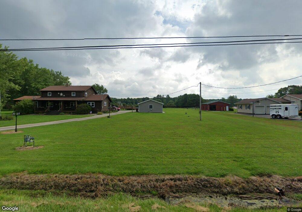
6932 State Route 7 Andover, OH 44003
Estimated Value: $293,827 - $360,000
3
Beds
2
Baths
2,378
Sq Ft
$136/Sq Ft
Est. Value
About This Home
This home is located at 6932 State Route 7, Andover, OH 44003 and is currently estimated at $324,457, approximately $136 per square foot. 6932 State Route 7 is a home located in Ashtabula County with nearby schools including Pymatuning Valley Primary School, Pymatuning Valley Middle School, and Pymatuning Valley High School.
Ownership History
Date
Name
Owned For
Owner Type
Purchase Details
Closed on
Jan 28, 2004
Sold by
Henderson Wray L and Henderson Samantha
Bought by
Gray Andrew P and Gray Tiffany M
Current Estimated Value
Home Financials for this Owner
Home Financials are based on the most recent Mortgage that was taken out on this home.
Original Mortgage
$119,900
Outstanding Balance
$56,545
Interest Rate
5.91%
Mortgage Type
Unknown
Estimated Equity
$267,912
Purchase Details
Closed on
Mar 17, 2003
Sold by
Halstead Robert P
Bought by
Henderson Ii Wray L
Home Financials for this Owner
Home Financials are based on the most recent Mortgage that was taken out on this home.
Original Mortgage
$25,000
Interest Rate
5.95%
Create a Home Valuation Report for This Property
The Home Valuation Report is an in-depth analysis detailing your home's value as well as a comparison with similar homes in the area
Purchase History
| Date | Buyer | Sale Price | Title Company |
|---|---|---|---|
| Gray Andrew P | $119,900 | Franklin Blair Title Agency | |
| Henderson Ii Wray L | $116,000 | Buckeye Title |
Source: Public Records
Mortgage History
| Date | Status | Borrower | Loan Amount |
|---|---|---|---|
| Open | Gray Andrew P | $119,900 | |
| Previous Owner | Henderson Ii Wray L | $25,000 | |
| Closed | Henderson Ii Wray L | $89,826 |
Source: Public Records
Tax History
| Year | Tax Paid | Tax Assessment Tax Assessment Total Assessment is a certain percentage of the fair market value that is determined by local assessors to be the total taxable value of land and additions on the property. | Land | Improvement |
|---|---|---|---|---|
| 2024 | $4,837 | $79,170 | $6,930 | $72,240 |
| 2023 | $3,340 | $79,170 | $6,930 | $72,240 |
| 2022 | $2,526 | $56,950 | $5,320 | $51,630 |
| 2021 | $2,637 | $56,950 | $5,320 | $51,630 |
| 2020 | $2,638 | $56,950 | $5,320 | $51,630 |
| 2019 | $2,616 | $54,820 | $4,870 | $49,950 |
| 2018 | $2,532 | $54,820 | $4,870 | $49,950 |
| 2017 | $2,149 | $54,820 | $4,870 | $49,950 |
| 2016 | $1,791 | $38,820 | $4,550 | $34,270 |
| 2015 | $1,797 | $38,820 | $4,550 | $34,270 |
| 2014 | $1,719 | $38,820 | $4,550 | $34,270 |
| 2013 | $1,911 | $40,990 | $3,080 | $37,910 |
Source: Public Records
Map
Nearby Homes
- 6738 State Route 7
- 5740 Marvin Rd
- 5427 Slater Rd
- 5422 Slater Rd
- 6796 Pymatuning Lake Rd
- 6970 Williams Ave
- 6677 Morningview Dr
- 0000 Pymatuning Blvd
- 7833 Pymatuning Lake Rd
- 5654 Chestnut St
- 0 Ohio 7
- 143 Hickory St
- 174 Hickory St
- 195 Case Ave
- 6490 Willow Way
- 7832 Chase Dr
- 6453 Brandywine Dr
- 5123 4th Ave
- 1059 Clover Ln
- 8999 Avon Dr
- 6968 State Route 7
- 6801 Youngstown Conneaut (Rt7)
- 5965 Twitchell Rd
- 6912 State Route 7
- 5978 Twitchell Rd
- 6041 Twitchell Rd
- 7003 State Route 7
- 6045 Twitchell Rd
- 6059 Twitchell Rd
- 6829 State Route 7
- 6810 State Route 7
- 6050 Twitchell Rd
- 7071 State Route 7
- 6804 State Route 7
- 6074 Twitchell Rd
- 7088 State Route 7
- 6107 Twitchell Rd
- 7089 State Route 7
- 6785 Ohio 7
- 6785 State Route 7
Your Personal Tour Guide
Ask me questions while you tour the home.