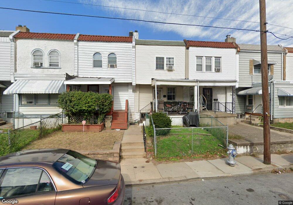
6933 Guilford Rd Upper Darby, PA 19082
Estimated Value: $125,000 - $138,000
2
Beds
1
Bath
1,056
Sq Ft
$124/Sq Ft
Est. Value
About This Home
This home is located at 6933 Guilford Rd, Upper Darby, PA 19082 and is currently estimated at $130,480, approximately $123 per square foot. 6933 Guilford Rd is a home located in Delaware County with nearby schools including Upper Darby Kdg Center, Upper Darby High School, and Lansdowne Friends School.
Ownership History
Date
Name
Owned For
Owner Type
Purchase Details
Closed on
Jun 20, 2022
Sold by
Thomas Mastroddi
Bought by
Chartock Mitchell and Chartock Cari
Current Estimated Value
Home Financials for this Owner
Home Financials are based on the most recent Mortgage that was taken out on this home.
Original Mortgage
$30,000
Outstanding Balance
$6,119
Interest Rate
5.3%
Mortgage Type
Seller Take Back
Estimated Equity
$124,361
Purchase Details
Closed on
Feb 28, 2003
Sold by
Brophy Matthew T
Bought by
Mastroddi Thomas
Home Financials for this Owner
Home Financials are based on the most recent Mortgage that was taken out on this home.
Original Mortgage
$31,059
Interest Rate
5.95%
Mortgage Type
Purchase Money Mortgage
Create a Home Valuation Report for This Property
The Home Valuation Report is an in-depth analysis detailing your home's value as well as a comparison with similar homes in the area
Home Values in the Area
Average Home Value in this Area
Purchase History
| Date | Buyer | Sale Price | Title Company |
|---|---|---|---|
| Chartock Mitchell | $98,000 | None Listed On Document | |
| Mastroddi Thomas | $36,000 | -- |
Source: Public Records
Mortgage History
| Date | Status | Borrower | Loan Amount |
|---|---|---|---|
| Open | Chartock Mitchell | $30,000 | |
| Previous Owner | Mastroddi Thomas | $31,059 |
Source: Public Records
Tax History Compared to Growth
Tax History
| Year | Tax Paid | Tax Assessment Tax Assessment Total Assessment is a certain percentage of the fair market value that is determined by local assessors to be the total taxable value of land and additions on the property. | Land | Improvement |
|---|---|---|---|---|
| 2025 | $2,236 | $52,860 | $13,860 | $39,000 |
| 2024 | $2,236 | $52,860 | $13,860 | $39,000 |
| 2023 | $2,214 | $52,860 | $13,860 | $39,000 |
| 2022 | $2,155 | $52,860 | $13,860 | $39,000 |
| 2021 | $2,906 | $52,860 | $13,860 | $39,000 |
| 2020 | $1,879 | $29,050 | $12,600 | $16,450 |
| 2019 | $1,846 | $29,050 | $12,600 | $16,450 |
| 2018 | $2,702 | $43,020 | $0 | $0 |
| 2017 | $2,632 | $43,020 | $0 | $0 |
| 2016 | $241 | $43,020 | $0 | $0 |
| 2015 | $241 | $43,020 | $0 | $0 |
| 2014 | $241 | $43,020 | $0 | $0 |
Source: Public Records
Map
Nearby Homes
- 577 Snowden Rd
- 6982 Clinton Rd
- 525 Wiltshire Rd
- 517 Wiltshire Rd
- 7066 Clover Ln
- 607 Briarcliff Rd
- 6858 Clover Ln
- 7000 Greenwood Ave
- 703 Briarcliff Rd
- 7155 Radbourne Rd
- 7162 Radbourne Rd
- 607 Littlecroft Rd
- 513 Woodcliffe Rd
- 504 Woodcliffe Rd
- 7123 Seaford Rd
- 669 Long Ln
- 424 Woodcliffe Rd
- 7139 Guilford Rd
- 7026 Atlantic Ave
- 6858 Marshall Rd
- 6935 Guilford Rd
- 6931 Guilford Rd
- 6937 Guilford Rd
- 6929 Guilford Rd
- 6939 Guilford Rd
- 6927 Guilford Rd
- 6941 Guilford Rd
- 6925 Guilford Rd
- 6943 Guilford Rd
- 6923 Guilford Rd
- 6945 Guilford Rd
- 6930 Guilford Rd
- 6932 Guilford Rd
- 6934 Guilford Rd
- 6928 Guilford Rd
- 6921 Guilford Rd
- 6936 Guilford Rd
- 6926 Guilford Rd
- 6947 Guilford Rd
- 6938 Guilford Rd