Estimated Value: $338,000
3
Beds
2
Baths
1,699
Sq Ft
$199/Sq Ft
Est. Value
About This Home
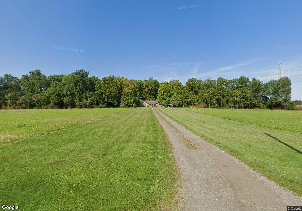
This home is located at 6933 Stewart Rd, Lima, OH 45807 and is currently priced at $338,000, approximately $198 per square foot. 6933 Stewart Rd is a home located in Allen County with nearby schools including Bath Elementary School, Bath Middle School, and Bath High School.
Ownership History
Date
Name
Owned For
Owner Type
Purchase Details
Closed on
Dec 13, 2023
Bought by
Jeffrey James Dunlap
Current Estimated Value
Purchase Details
Closed on
Dec 12, 2023
Sold by
Dunlap Jeffrey J and Dunlap Teresa J
Bought by
Dunlap Revocable Living Trust and Dunlap
Purchase Details
Closed on
Sep 2, 2022
Sold by
Dunlap Jeffrey J
Bought by
Dunlap Jeffrey J and Dunlap Teresa J
Purchase Details
Closed on
Sep 2, 2020
Sold by
Cardenas Kelsey N and Cardenas Eric
Bought by
Hutchinson Max T
Purchase Details
Closed on
Jun 1, 1988
Bought by
Dunlap Jeffrey J
Create a Home Valuation Report for This Property
The Home Valuation Report is an in-depth analysis detailing your home's value as well as a comparison with similar homes in the area
Home Values in the Area
Average Home Value in this Area
Purchase History
| Date | Buyer | Sale Price | Title Company |
|---|---|---|---|
| Jeffrey James Dunlap | -- | -- | |
| Dunlap Revocable Living Trust | -- | None Listed On Document | |
| Dunlap Jeffrey J | -- | Mackey Law Llc | |
| Hutchinson Max T | -- | None Listed On Document | |
| Dunlap Jeffrey J | $40,000 | -- |
Source: Public Records
Tax History Compared to Growth
Tax History
| Year | Tax Paid | Tax Assessment Tax Assessment Total Assessment is a certain percentage of the fair market value that is determined by local assessors to be the total taxable value of land and additions on the property. | Land | Improvement |
|---|---|---|---|---|
| 2024 | $4,425 | $114,950 | $35,390 | $79,560 |
| 2023 | $4,362 | $94,230 | $29,020 | $65,210 |
| 2022 | $5,164 | $94,230 | $29,020 | $65,210 |
| 2021 | $3,985 | $94,230 | $29,020 | $65,210 |
| 2020 | $3,039 | $75,430 | $26,670 | $48,760 |
| 2019 | $3,039 | $75,430 | $26,670 | $48,760 |
| 2018 | $2,961 | $74,270 | $26,670 | $47,600 |
| 2017 | $2,925 | $63,490 | $20,230 | $43,260 |
| 2016 | $3,217 | $63,490 | $20,230 | $43,260 |
| 2015 | $2,932 | $63,490 | $20,230 | $43,260 |
| 2014 | $2,932 | $64,020 | $14,810 | $49,210 |
| 2013 | $2,941 | $64,020 | $14,810 | $49,210 |
Source: Public Records
Map
Nearby Homes
- 201 Wall St
- 220 Parklane Dr
- 309 Wall St
- 6585 Ottawa Rd
- 300 Sweaney Ave
- 3456 Shearin Ave
- 3798 Kissing Hollow Dr
- 3270 Bonnieview Dr
- 108 Highland Lakes Dr
- 4080 Brookshore Dr
- 4050 Brookshore Dr
- 1679 E Bluelick Rd
- 4619 N Thayer Rd
- 0 Fraunfelter Unit 307817
- 0 N Eastown Rd Unit 1034495
- 0 N Dixie Hwy Unit 308796
- 0 N Dixie Hwy Unit 300253
- 11059 Ottawa Rd
- 5025 N Cool Rd
- 2525 W Lincoln Hwy