69335 Vince Rd Anchor Point, AK 99556
Estimated Value: $34,000 - $185,140
3
Beds
2
Baths
848
Sq Ft
$129/Sq Ft
Est. Value
About This Home
This home is located at 69335 Vince Rd, Anchor Point, AK 99556 and is currently estimated at $109,570, approximately $129 per square foot. 69335 Vince Rd is a home with nearby schools including Chapman School and Homer High School.
Ownership History
Date
Name
Owned For
Owner Type
Purchase Details
Closed on
Apr 15, 2013
Sold by
Kurka Walter J
Bought by
K Child Trust Living Trust
Current Estimated Value
Home Financials for this Owner
Home Financials are based on the most recent Mortgage that was taken out on this home.
Original Mortgage
$48,500
Outstanding Balance
$34,296
Interest Rate
3.51%
Mortgage Type
New Conventional
Estimated Equity
$75,274
Purchase Details
Closed on
Feb 1, 2007
Sold by
Baker Joyce L
Bought by
Kurka Walter J and K Child Trust Living Trust
Create a Home Valuation Report for This Property
The Home Valuation Report is an in-depth analysis detailing your home's value as well as a comparison with similar homes in the area
Home Values in the Area
Average Home Value in this Area
Purchase History
| Date | Buyer | Sale Price | Title Company |
|---|---|---|---|
| K Child Trust Living Trust | -- | First American Title Ins Co | |
| Kurka Walter J | -- | First American Title Ins Co | |
| Kurka Walter J | -- | None Available |
Source: Public Records
Mortgage History
| Date | Status | Borrower | Loan Amount |
|---|---|---|---|
| Open | Kurka Walter J | $48,500 |
Source: Public Records
Tax History Compared to Growth
Tax History
| Year | Tax Paid | Tax Assessment Tax Assessment Total Assessment is a certain percentage of the fair market value that is determined by local assessors to be the total taxable value of land and additions on the property. | Land | Improvement |
|---|---|---|---|---|
| 2025 | -- | $126,200 | $34,300 | $91,900 |
| 2024 | -- | $118,800 | $34,300 | $84,500 |
| 2023 | $0 | $102,700 | $29,000 | $73,700 |
| 2022 | $0 | $86,600 | $21,900 | $64,700 |
| 2021 | $0 | $84,600 | $21,300 | $63,300 |
| 2020 | $0 | $91,300 | $21,300 | $70,000 |
| 2019 | $0 | $86,100 | $19,800 | $66,300 |
| 2018 | $0 | $88,200 | $19,800 | $68,400 |
| 2017 | -- | $75,900 | $19,800 | $56,100 |
| 2016 | -- | $80,300 | $19,800 | $60,500 |
| 2015 | $112 | $82,900 | $19,800 | $63,100 |
| 2014 | $112 | $73,000 | $19,800 | $53,200 |
Source: Public Records
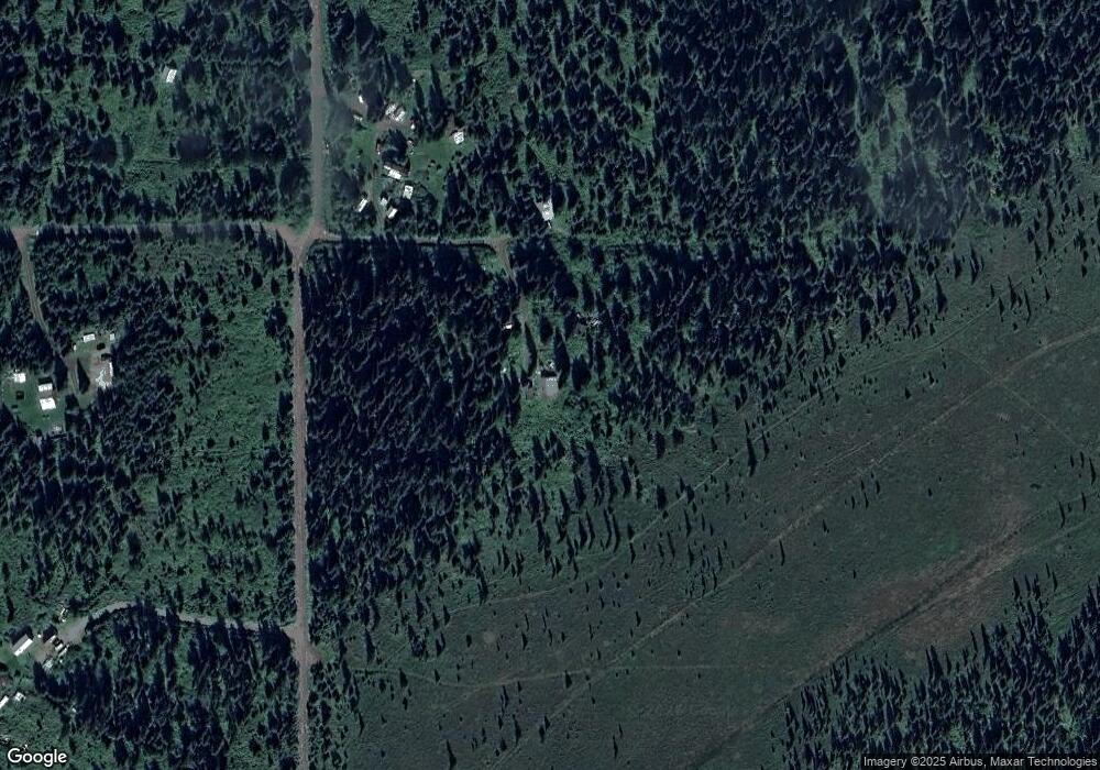
Map
Nearby Homes
- 38593 Taylor St
- 69783 Tipton Ave
- 36095 Flinstone St
- 36075 Flinstone St
- 27191 Sterling Hwy
- 35885 Sterling Hwy
- 26935 Sterling Hwy
- 26220 Sterling Hwy
- 33175 Sterling Hwy
- 33135 Sterling Hwy
- 41330 Old Sterling Hwy
- 41350 Old Sterling Hwy
- 69288 Melody Way
- 66822 Kennedy Ave
- 14 Lots Hard Rock St
- 39047 Sayer Rd
- 42706 Old Sterling Hwy
- 68062 Jolly Ave
- 68021 Jolly Ave
- Tr 43 Handcart Rd (Trail Access)