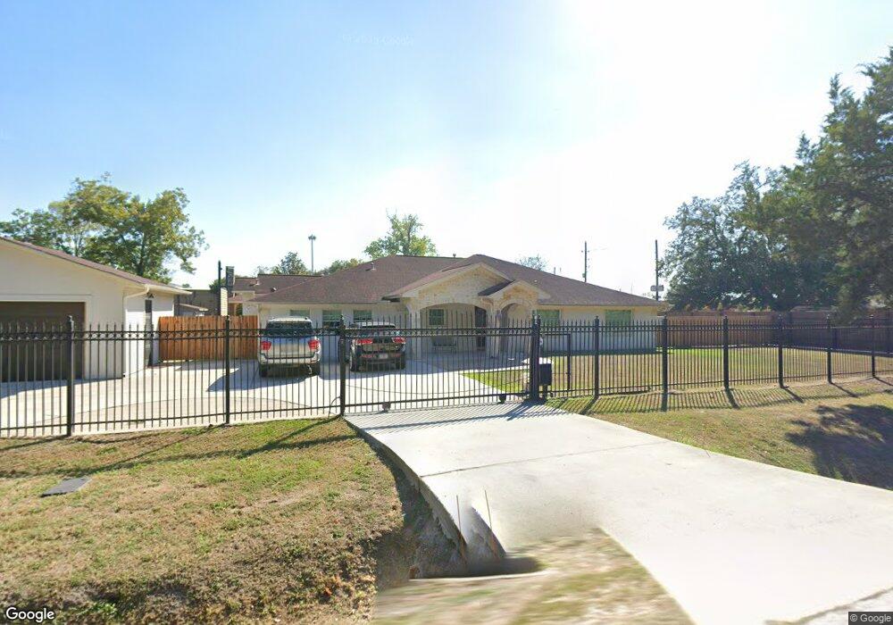
6934 Flintlock Rd Houston, TX 77040
North Houston NeighborhoodEstimated Value: $377,000
5
Beds
3
Baths
3,138
Sq Ft
$120/Sq Ft
Est. Value
About This Home
This home is located at 6934 Flintlock Rd, Houston, TX 77040 and is currently estimated at $377,000, approximately $120 per square foot. 6934 Flintlock Rd is a home located in Harris County with nearby schools including Post Elementary School, Dean Middle School, and Jersey Village High School.
Ownership History
Date
Name
Owned For
Owner Type
Purchase Details
Closed on
Jan 12, 2004
Sold by
Solano Nancy Maribel
Bought by
Solano David Quintana
Current Estimated Value
Home Financials for this Owner
Home Financials are based on the most recent Mortgage that was taken out on this home.
Original Mortgage
$128,250
Interest Rate
5.86%
Mortgage Type
Seller Take Back
Create a Home Valuation Report for This Property
The Home Valuation Report is an in-depth analysis detailing your home's value as well as a comparison with similar homes in the area
Home Values in the Area
Average Home Value in this Area
Purchase History
| Date | Buyer | Sale Price | Title Company |
|---|---|---|---|
| Solano David Quintana | -- | -- |
Source: Public Records
Mortgage History
| Date | Status | Borrower | Loan Amount |
|---|---|---|---|
| Closed | Solano David Quintana | $128,250 |
Source: Public Records
Tax History Compared to Growth
Tax History
| Year | Tax Paid | Tax Assessment Tax Assessment Total Assessment is a certain percentage of the fair market value that is determined by local assessors to be the total taxable value of land and additions on the property. | Land | Improvement |
|---|---|---|---|---|
| 2025 | $4,223 | $421,422 | $128,484 | $292,938 |
| 2024 | $4,223 | $356,032 | $128,484 | $227,548 |
| 2023 | $4,223 | $352,788 | $128,484 | $224,304 |
| 2022 | $6,006 | $302,100 | $128,484 | $173,616 |
| 2021 | $6,317 | $302,100 | $128,484 | $173,616 |
| 2020 | $6,508 | $302,100 | $128,484 | $173,616 |
| 2019 | $6,754 | $302,100 | $128,484 | $173,616 |
| 2018 | $3,158 | $305,347 | $128,484 | $176,863 |
| 2017 | $6,450 | $305,347 | $128,484 | $176,863 |
| 2016 | $5,864 | $305,347 | $128,484 | $176,863 |
| 2015 | $3,735 | $305,347 | $85,656 | $219,691 |
| 2014 | $3,735 | $305,347 | $85,656 | $219,691 |
Source: Public Records
Map
Nearby Homes
- 8402 Bondale St
- 7605 Fairbanks North Houston Rd
- 6819 Oakwood Grove
- 8020 Oakwood Forest Dr
- 8007 E Oakwood Ct
- 7311 Woodoak Dr
- 9214 Woodland Oaks Dr
- 8817 Emmott Rd
- 7410 Wood Bluff Blvd
- 9207 Loren Ln
- 7718 Breezeway St
- 7911 Battleoak Dr
- 7918 Battleoak Dr
- 7731 Deadwood Dr
- 14142 Packard St
- 7706 Deadwood Dr
- 9331 Deanwood St
- 7802 Percussion Place
- 7318 Shady Grove Ln
- 7259 Shady Arbor Ln
- 6930 Flintlock Rd
- 6920 Flintlock Rd
- 0 W Oak Unit 42050948
- 0 W Oak Unit 19568089
- 6918 Flintlock Rd
- 6902 Flintlock Rd
- 7003 Wood Bluff Blvd
- 7007 Wood Bluff Blvd
- 7011 Wood Bluff Blvd
- 7015 Wood Bluff Blvd
- 8215 Shady Arbor Ln
- 7023 Wood Bluff Blvd
- 7014 Wood Bluff Blvd
- 7027 Wood Bluff Blvd
- 8207 Shady Arbor Ln
- 7031 Wood Bluff Blvd
- 7022 Wood Bluff Blvd
- 8410 Bondale St
- 8203 Shady Arbor Ln
- 7003 Wood Orchard Dr